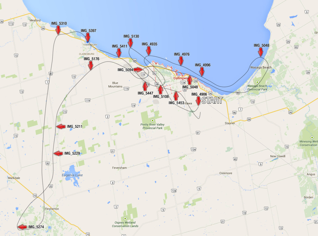
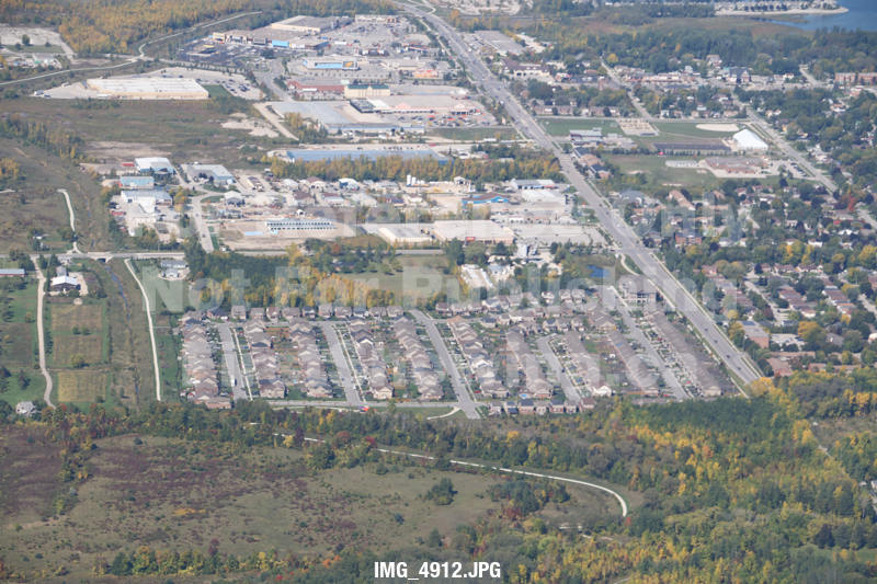
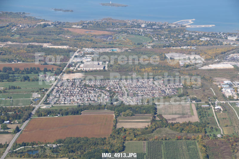
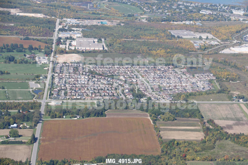
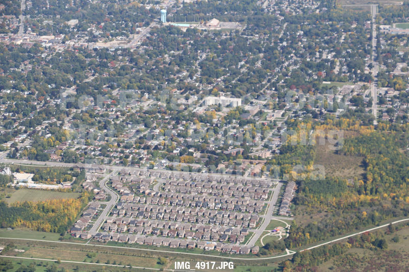
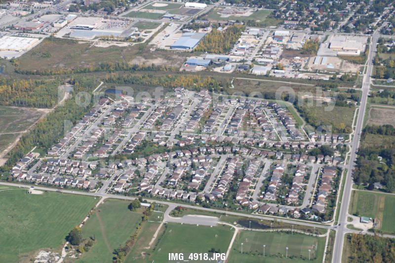
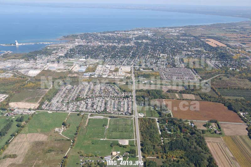
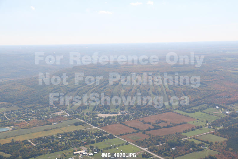
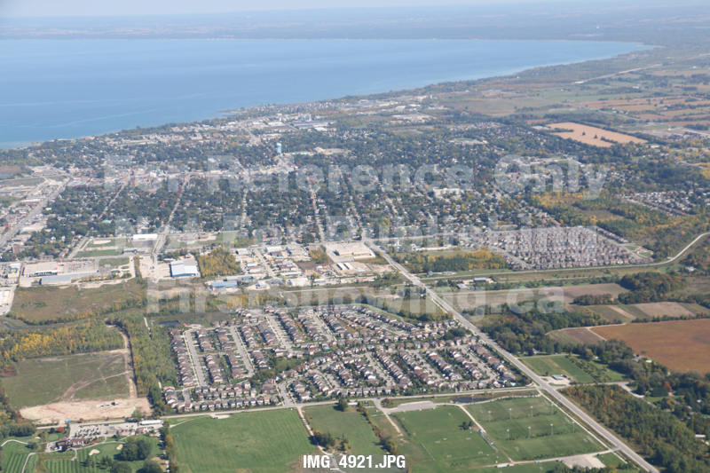
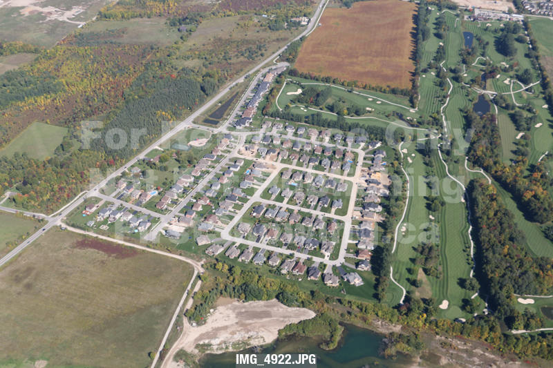
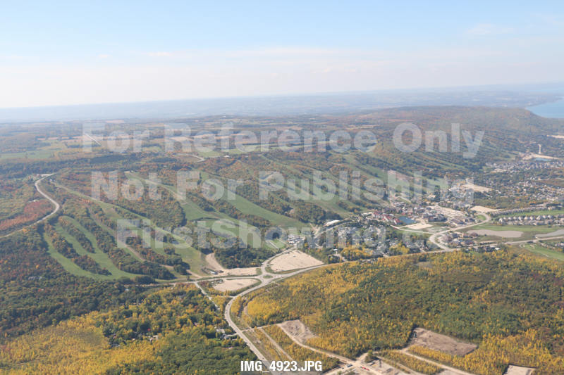
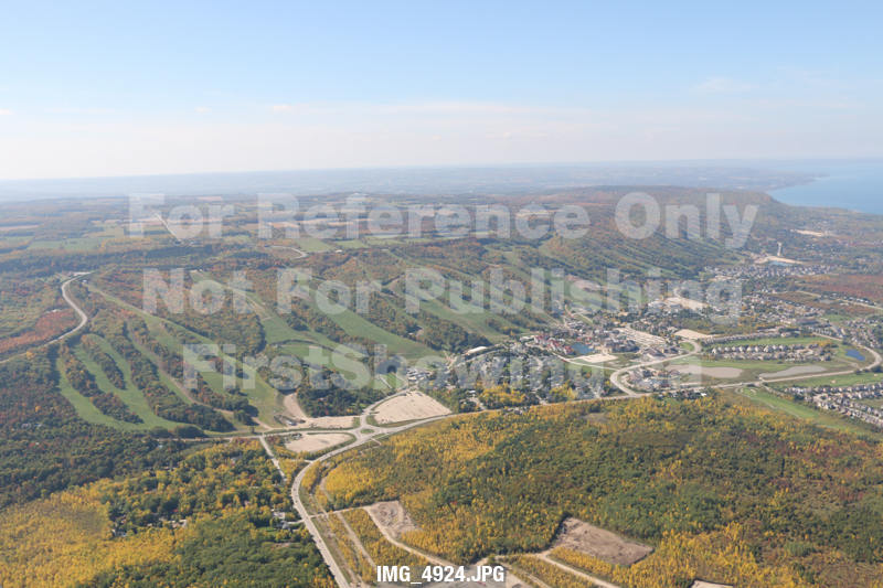
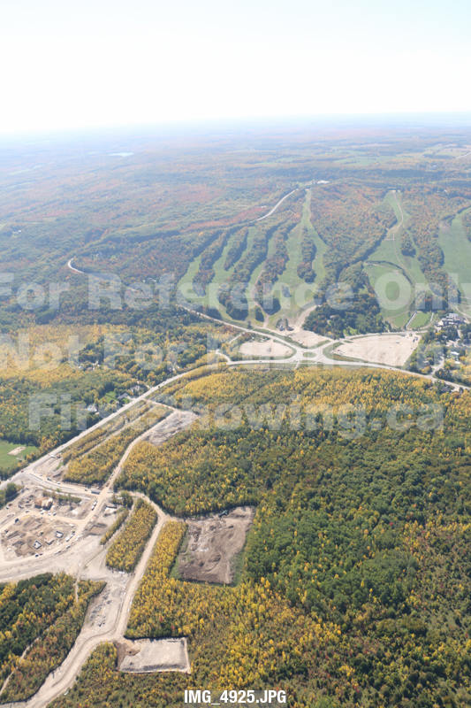
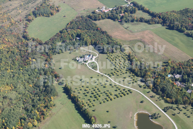
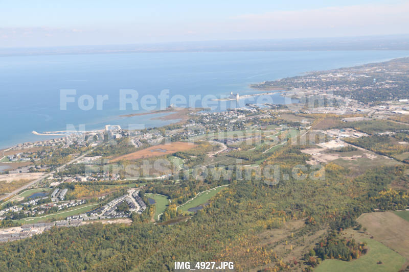
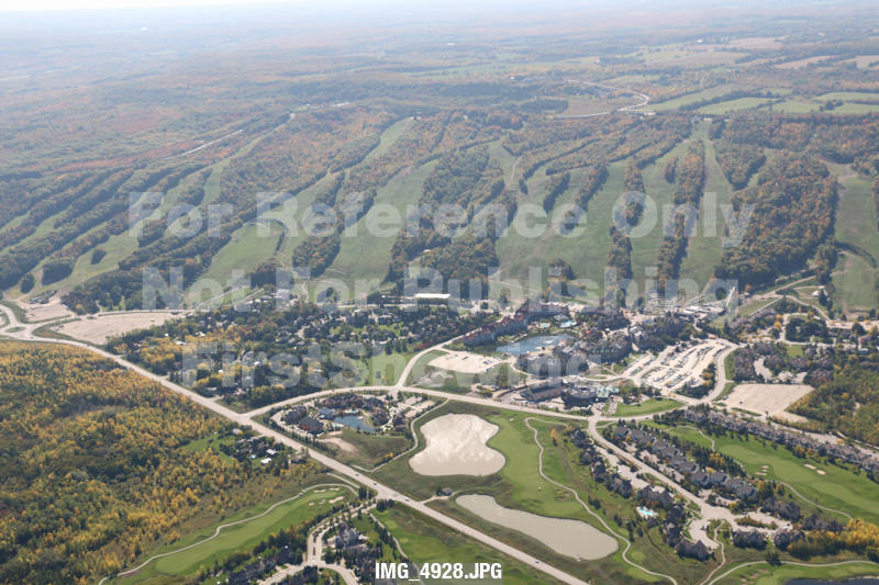
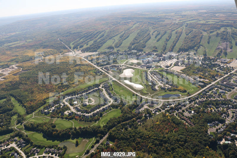
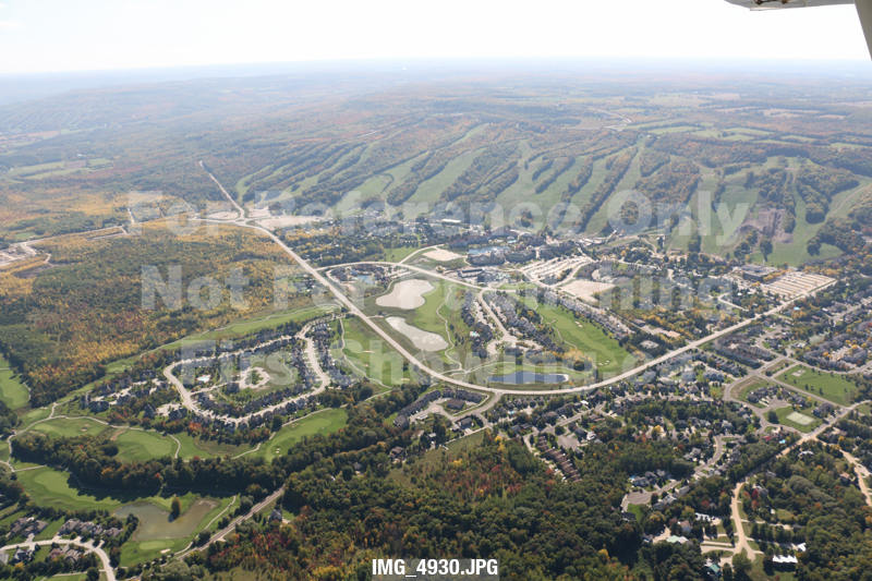
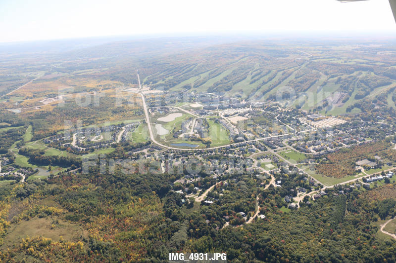
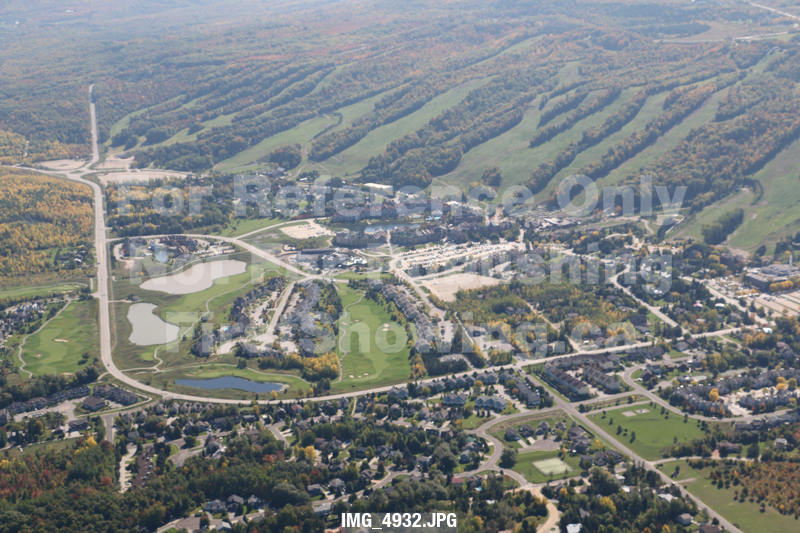
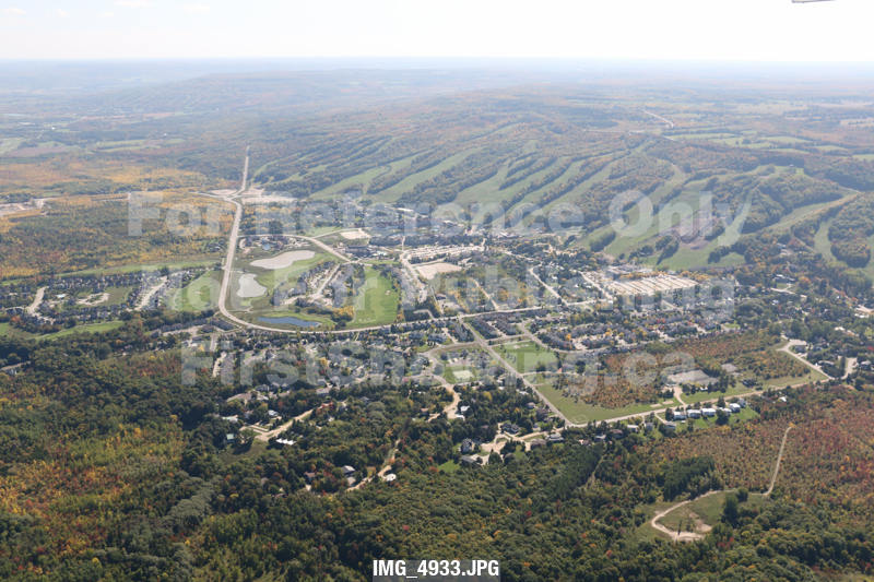
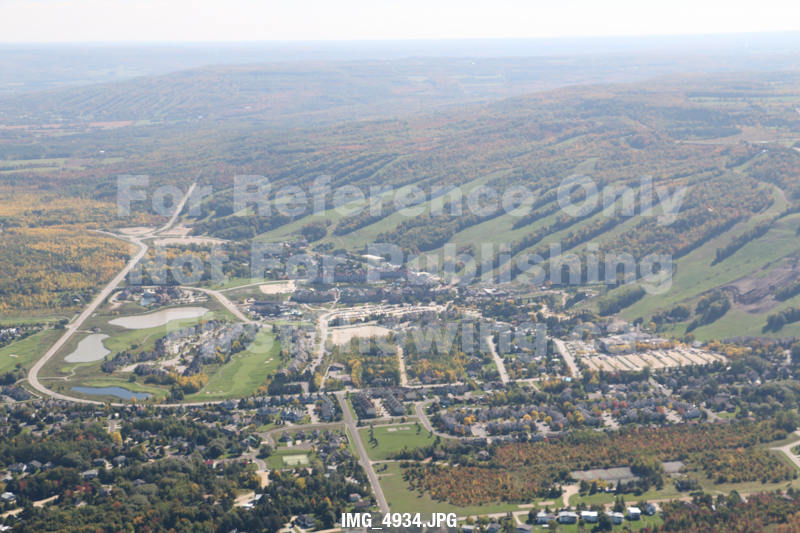
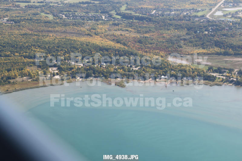
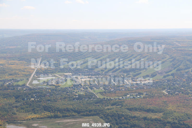
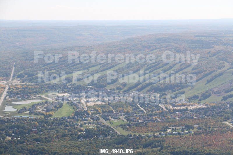
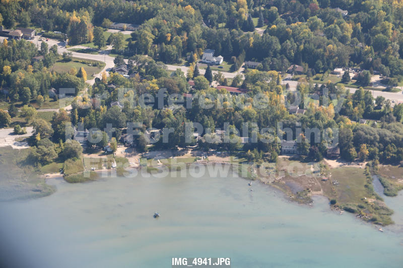
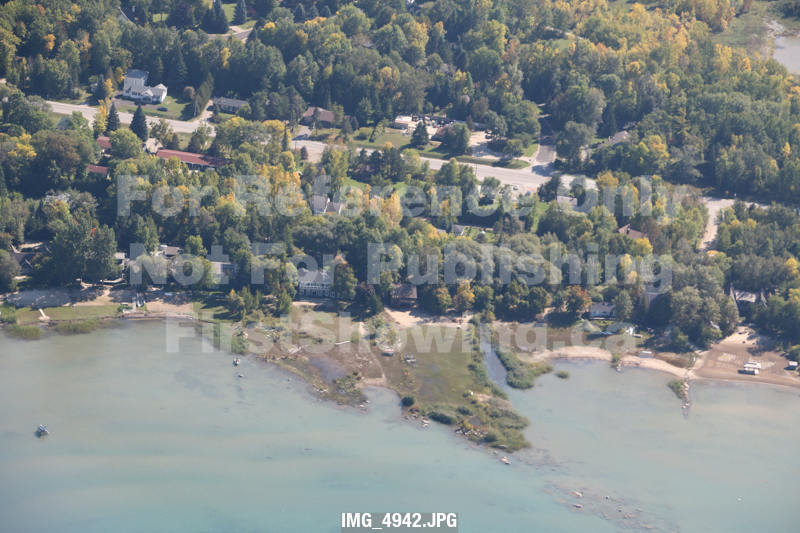
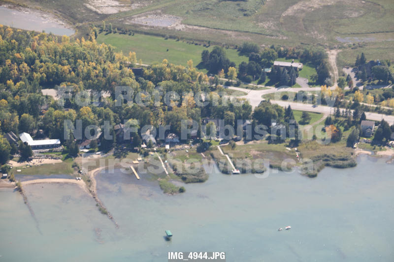
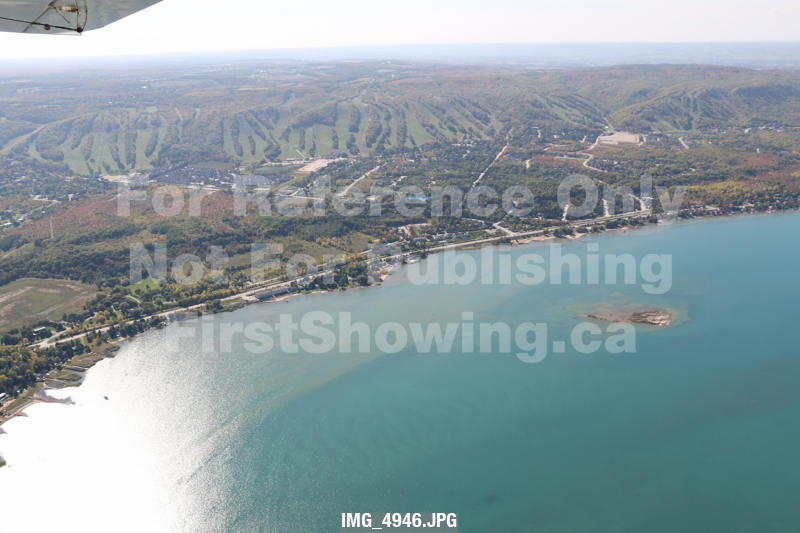
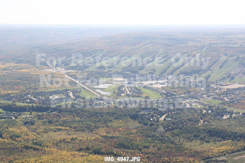
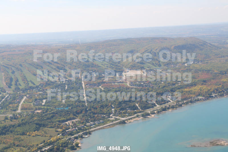
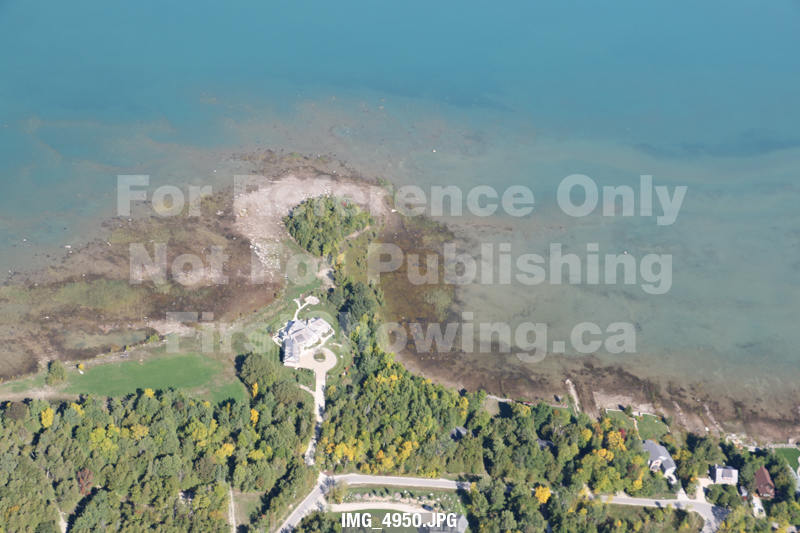
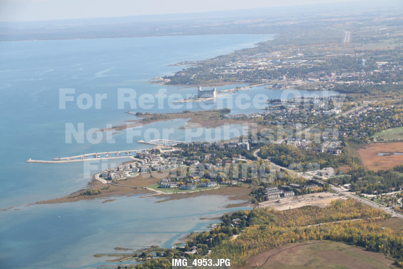
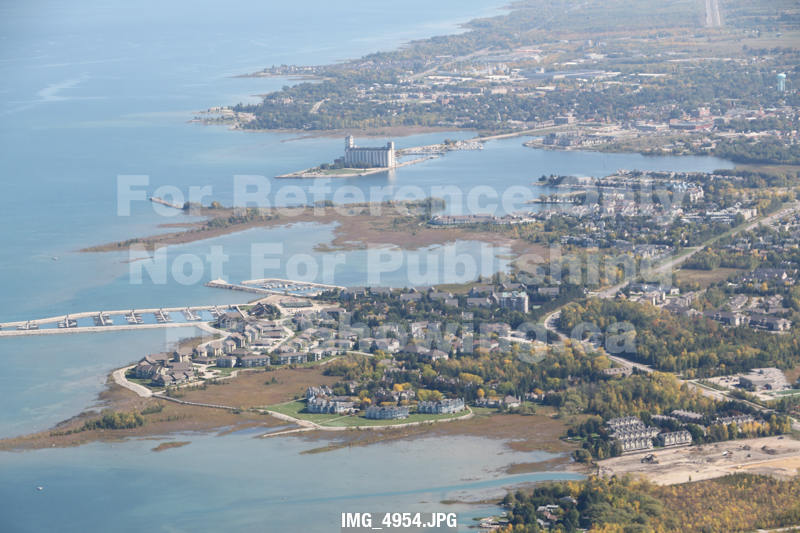
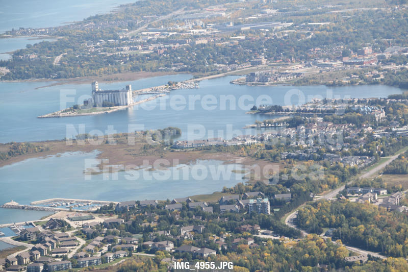
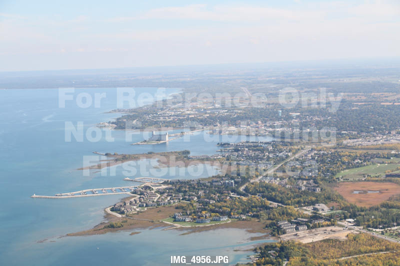
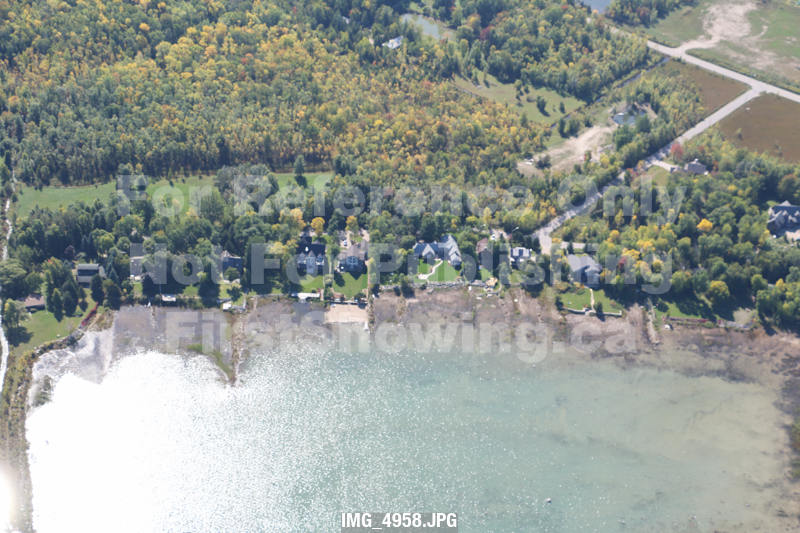
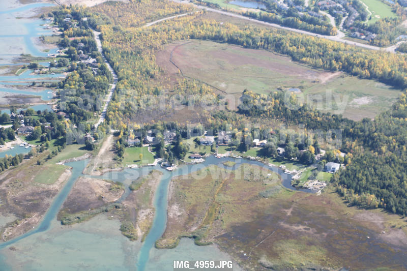
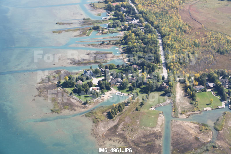
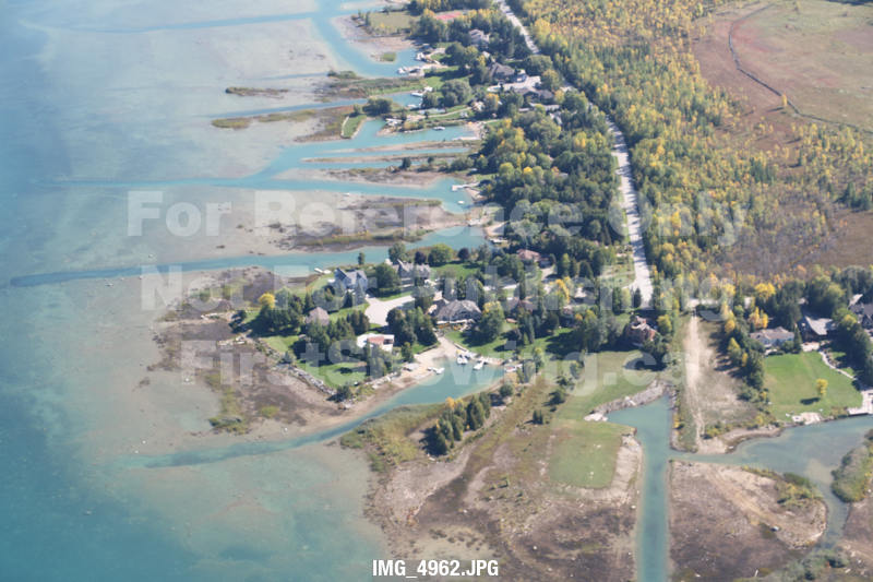
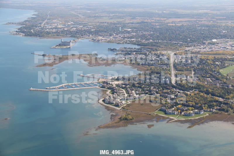
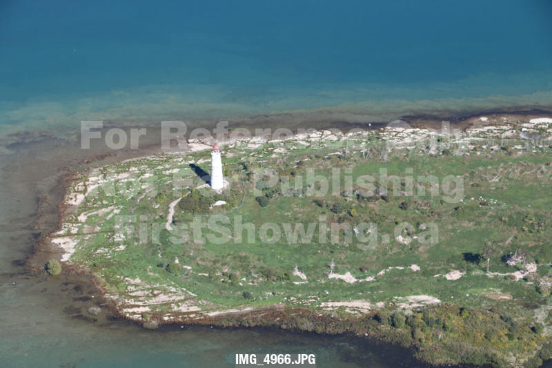
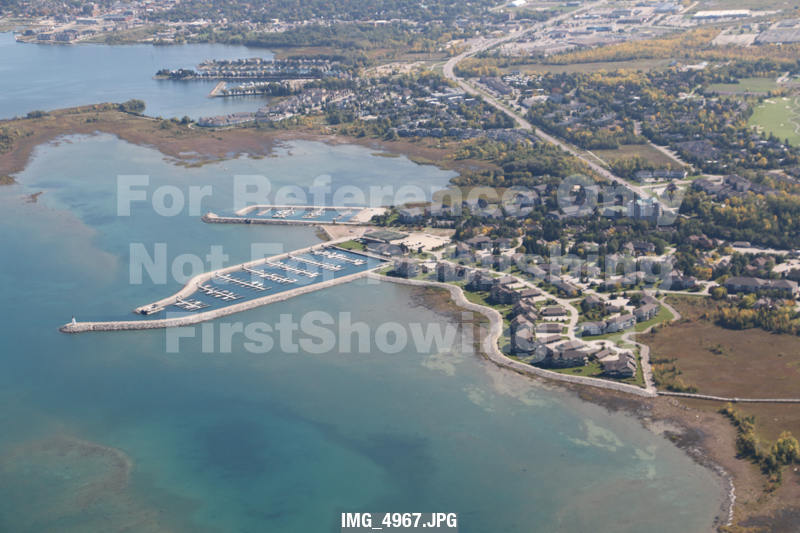
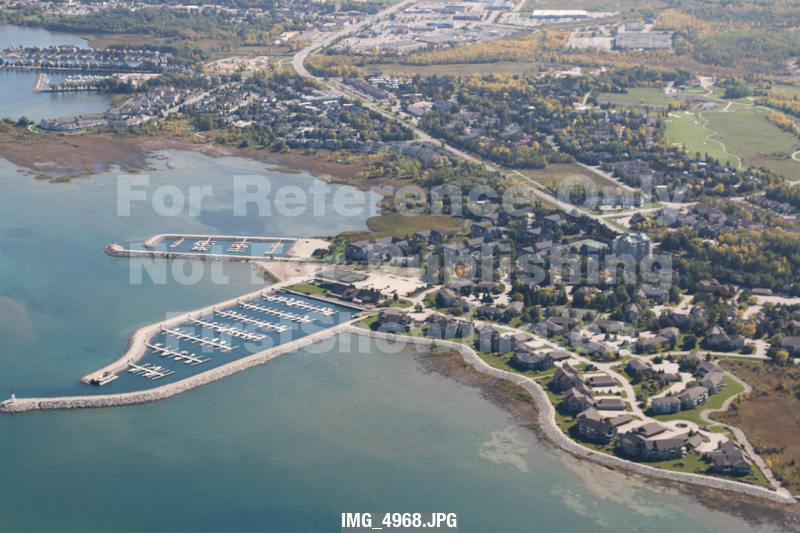
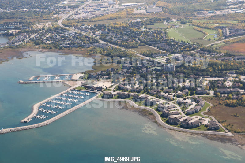
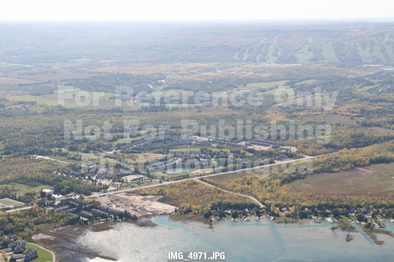
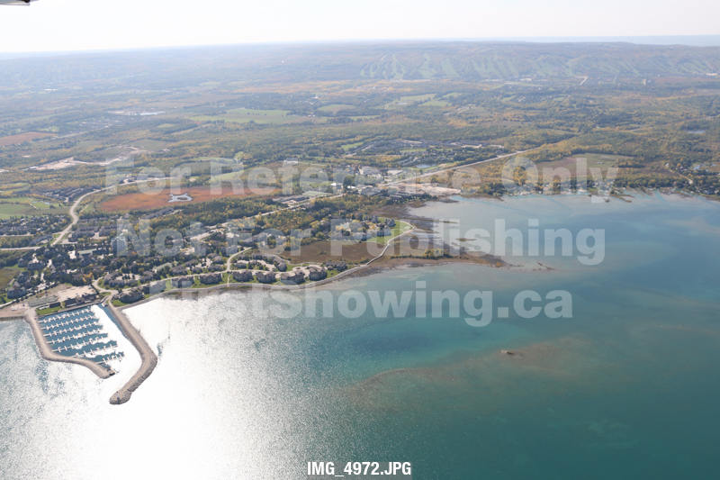
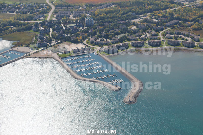
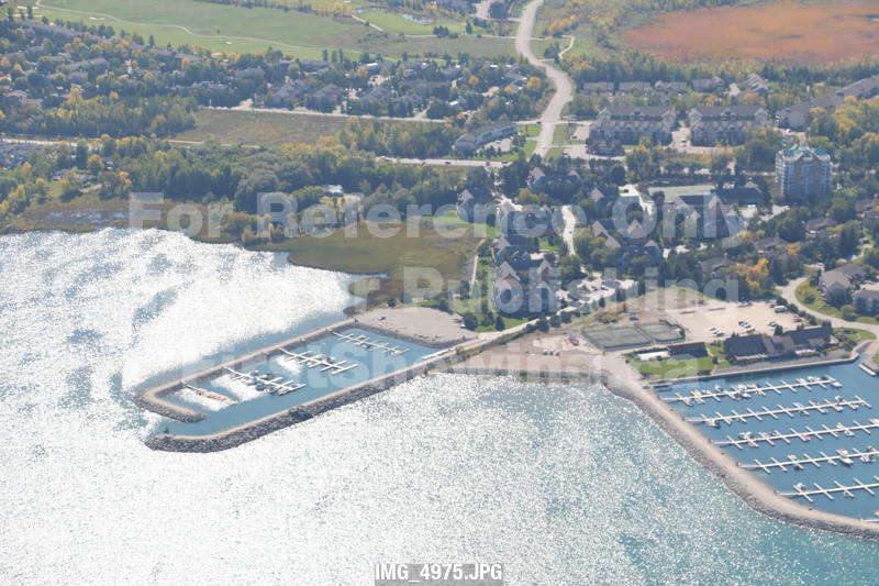
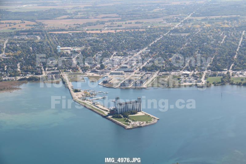
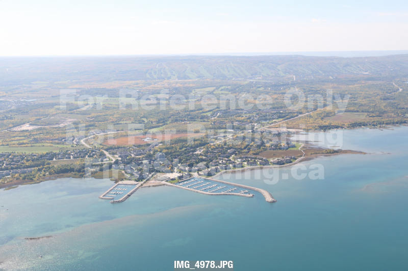
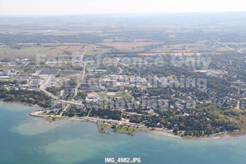
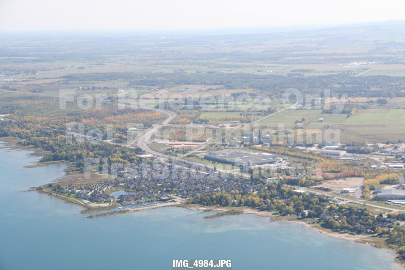
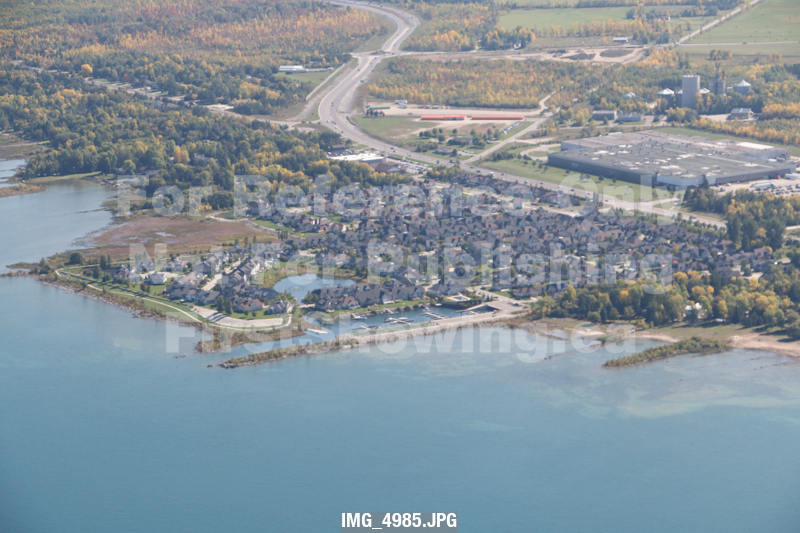
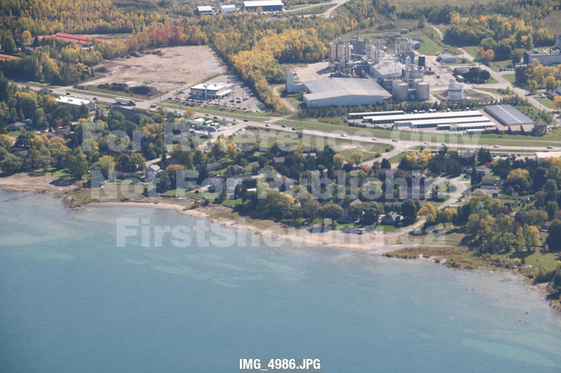
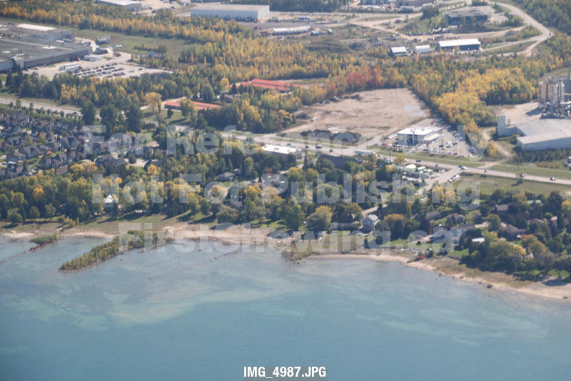
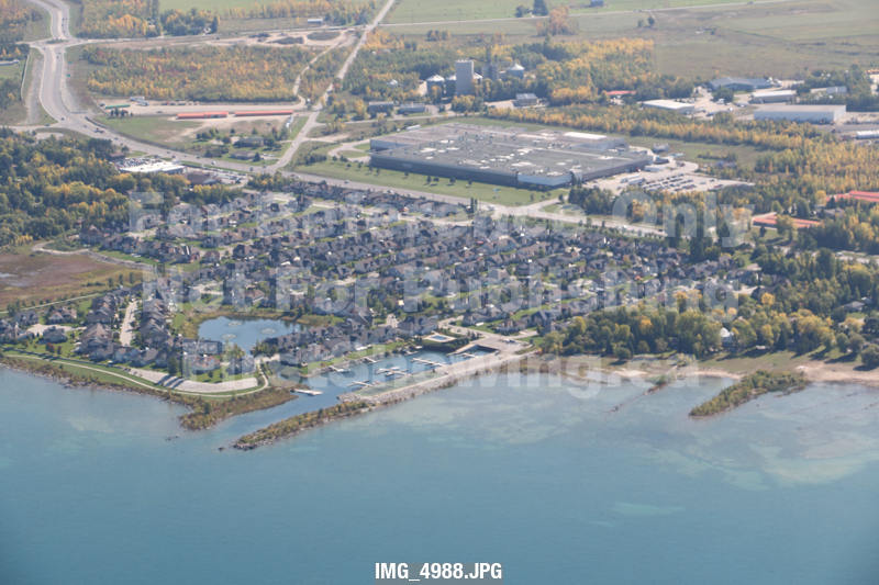
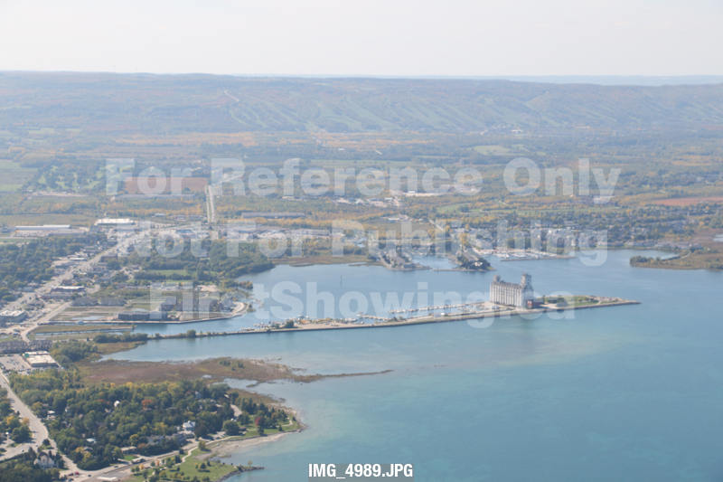
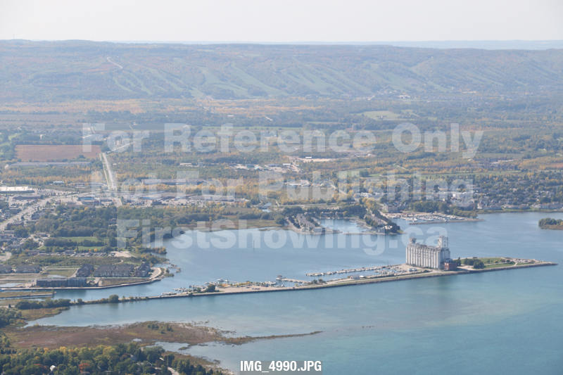
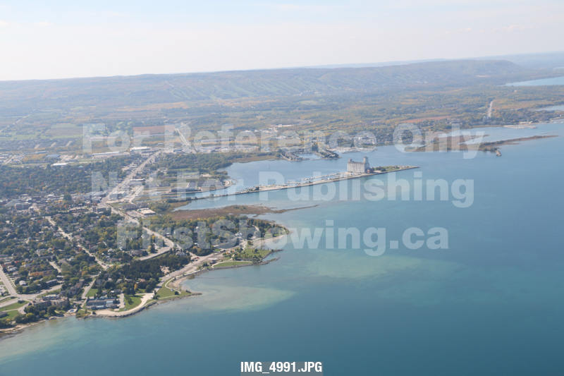
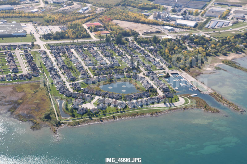
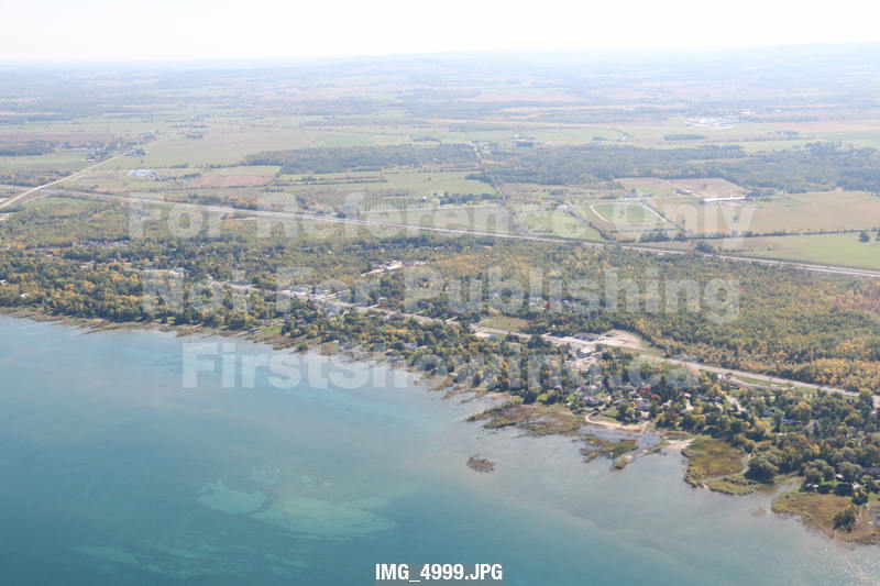
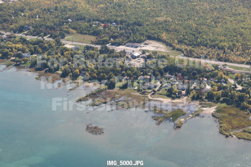
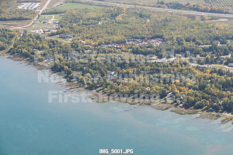
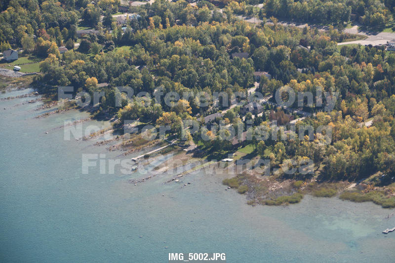
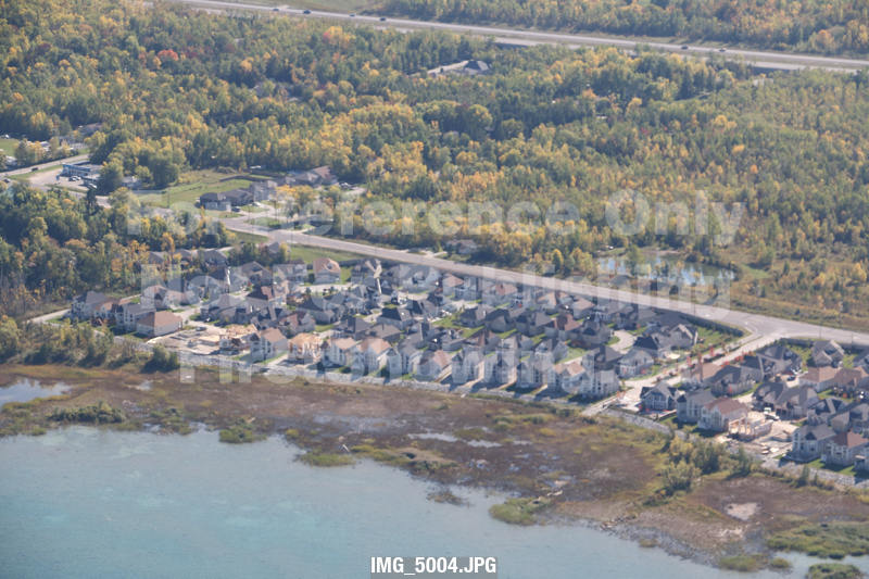
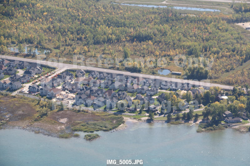
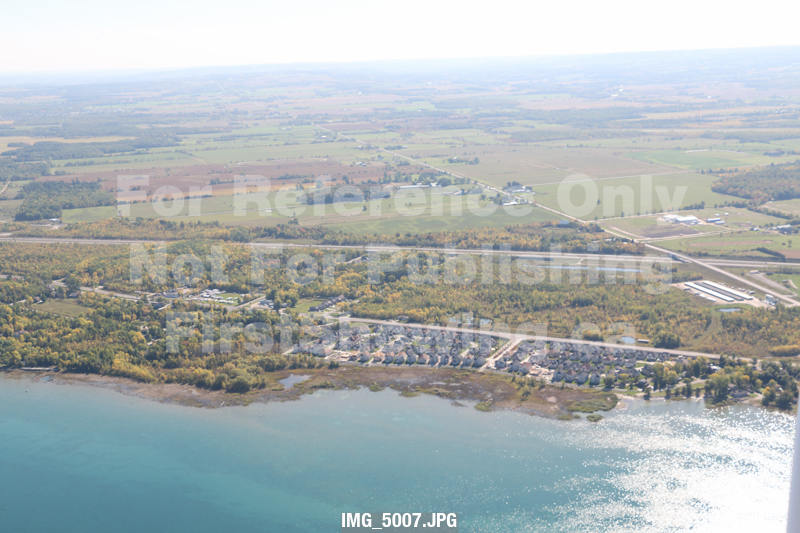
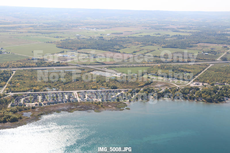
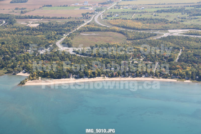
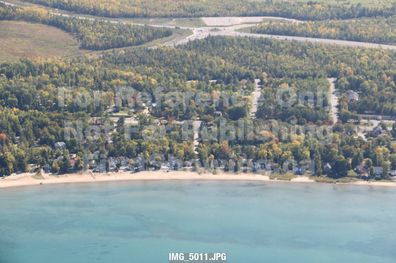
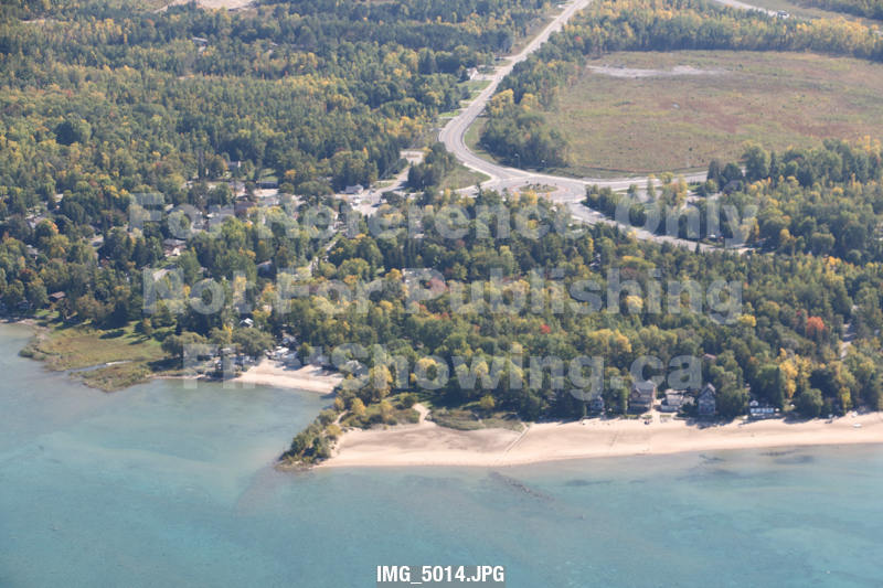
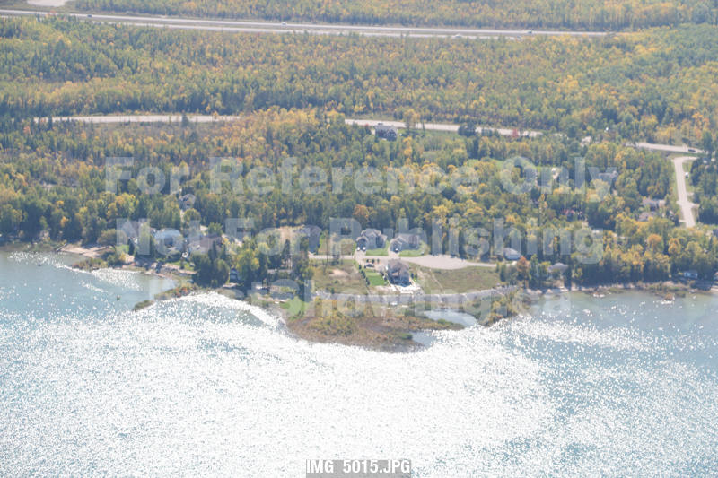
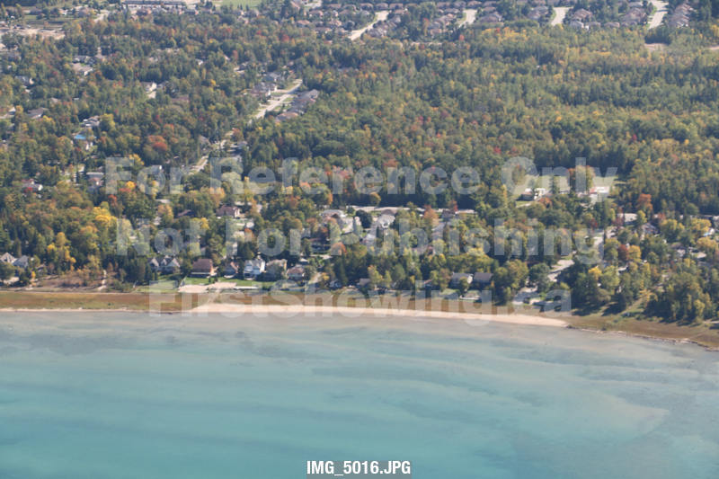
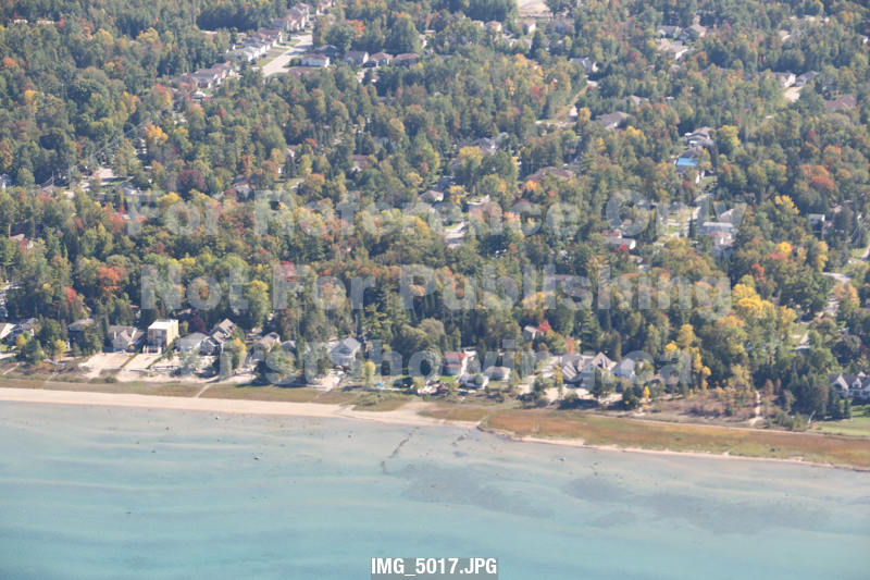
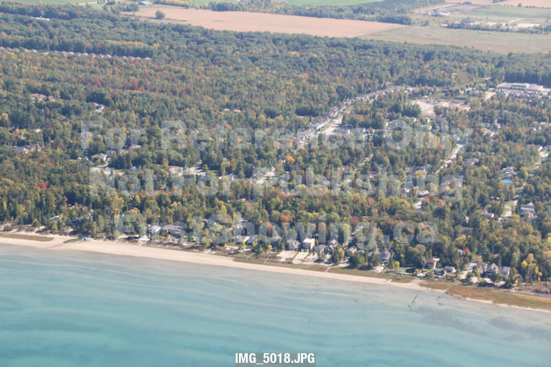
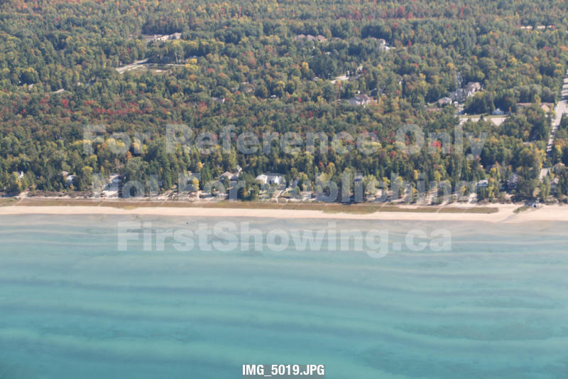
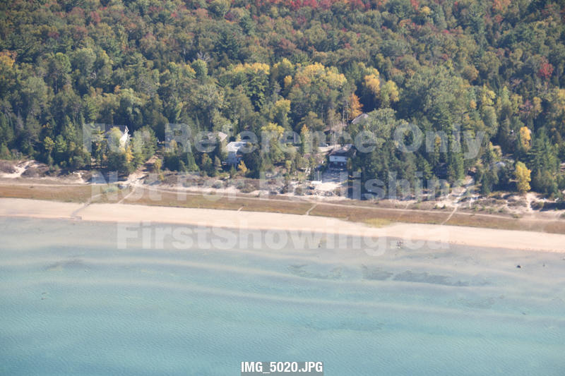
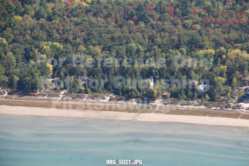
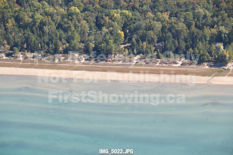
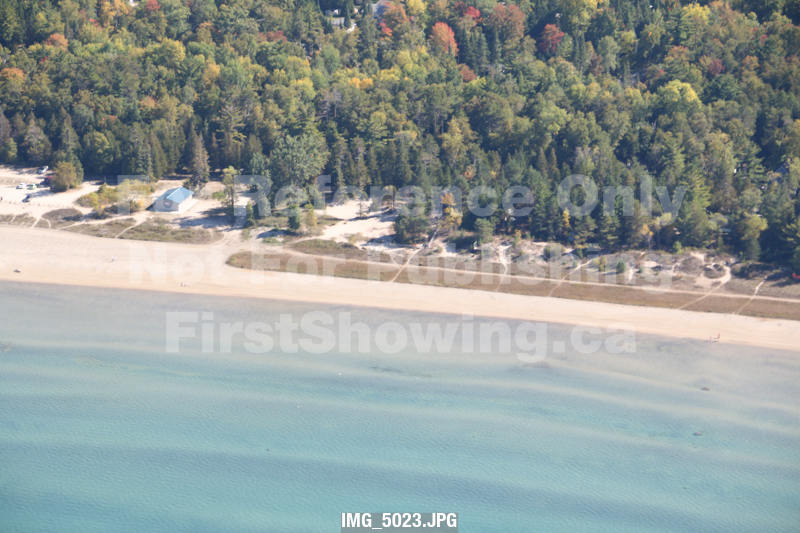
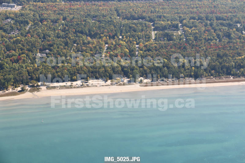
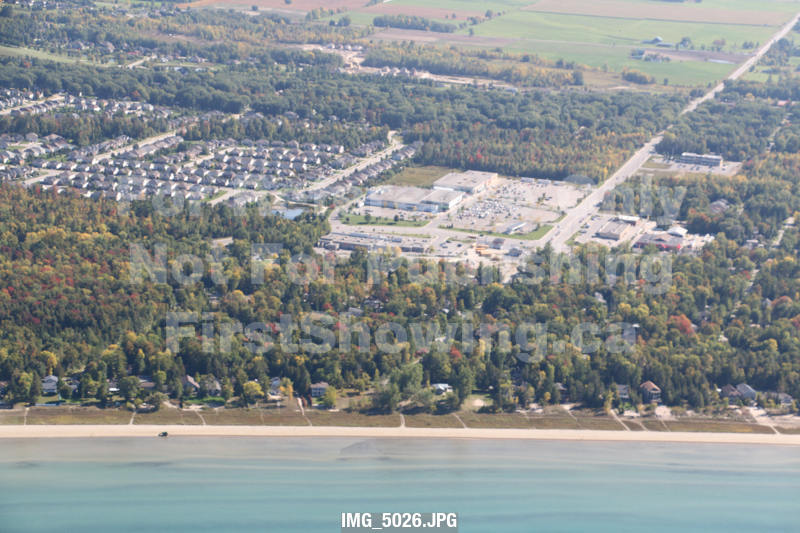
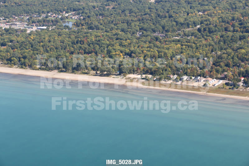
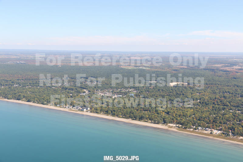
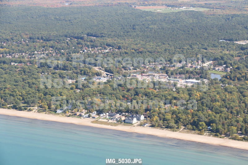
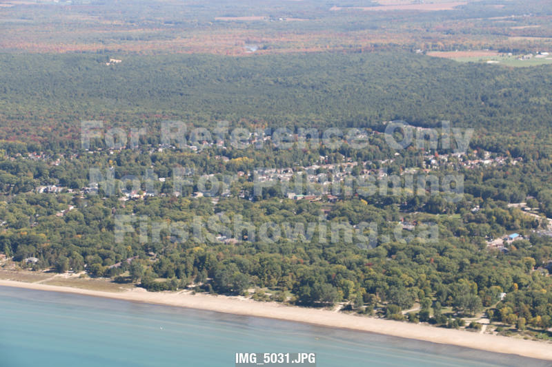
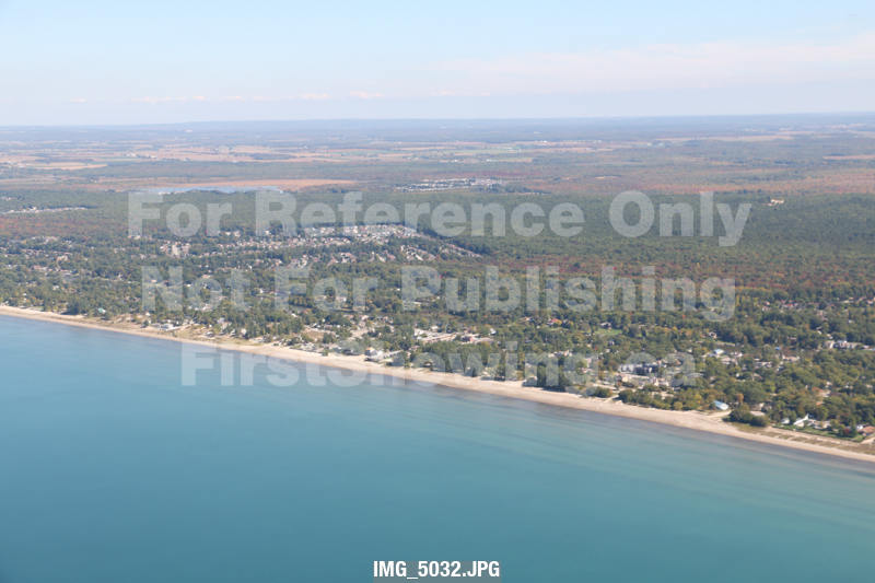
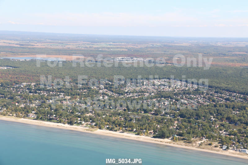
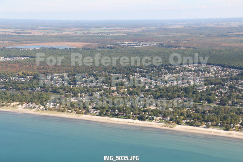
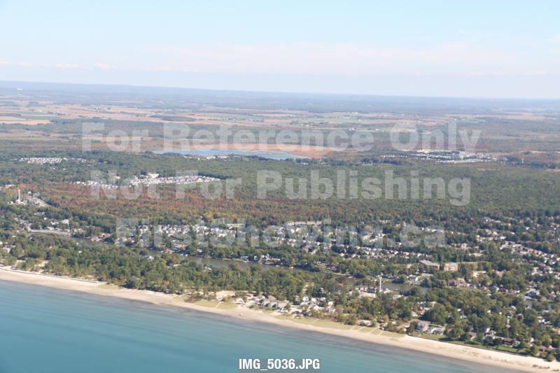
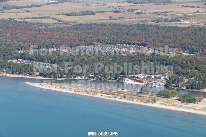
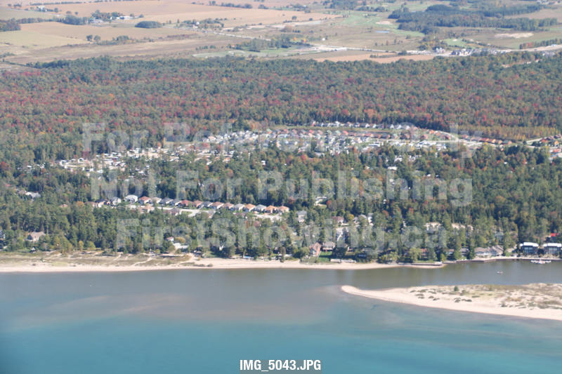
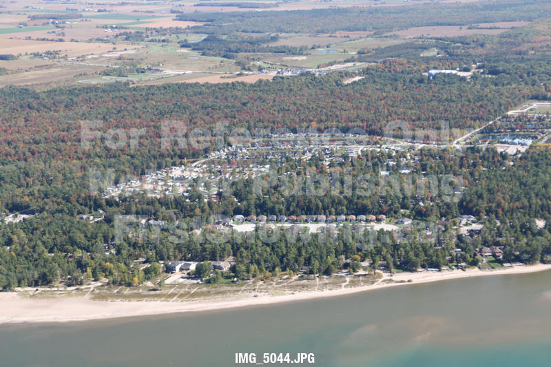
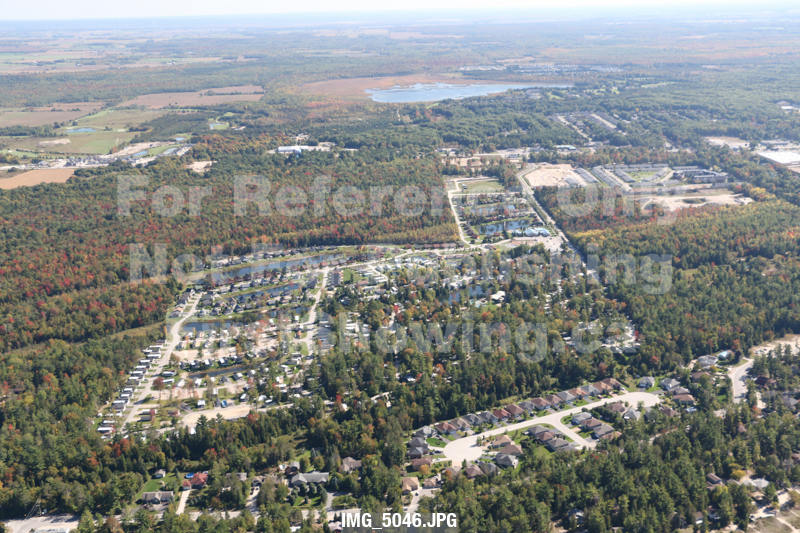
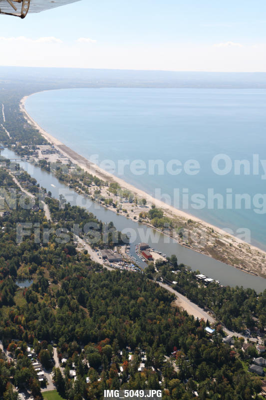
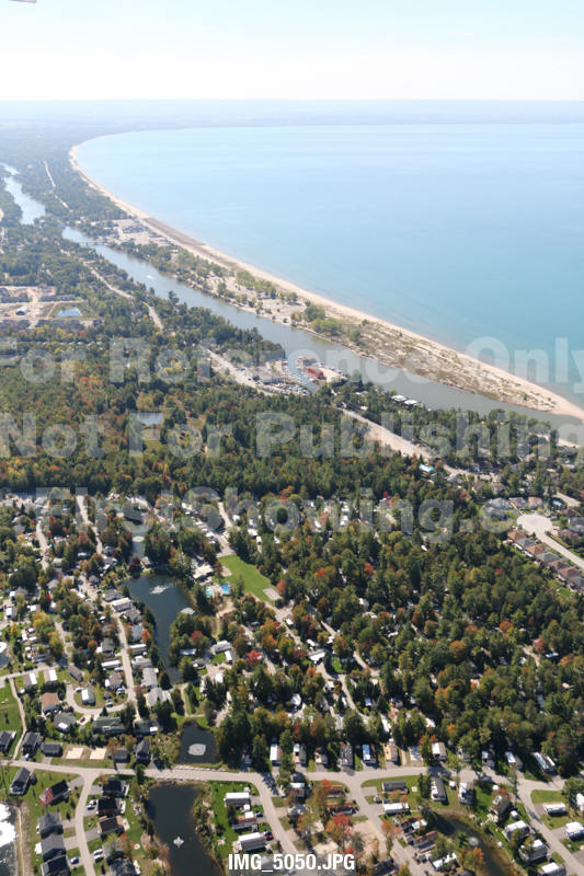
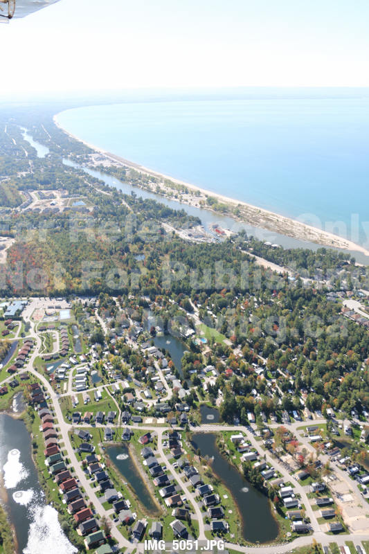
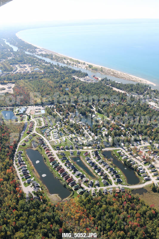
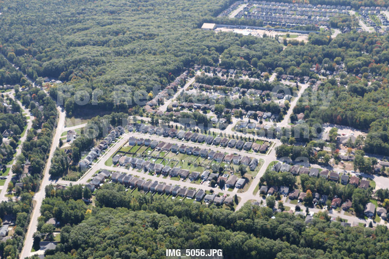
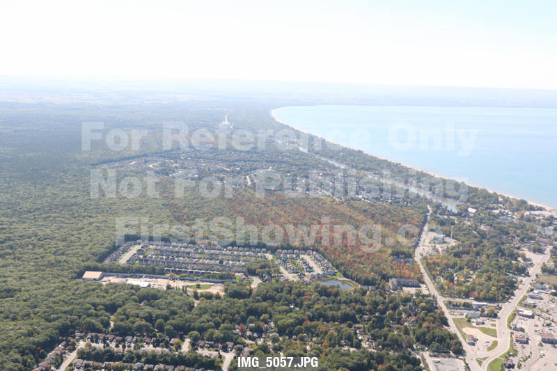
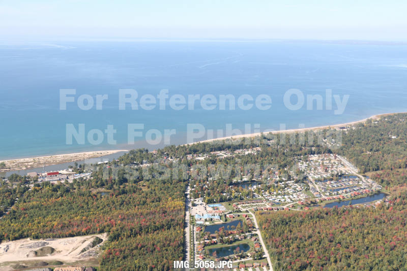
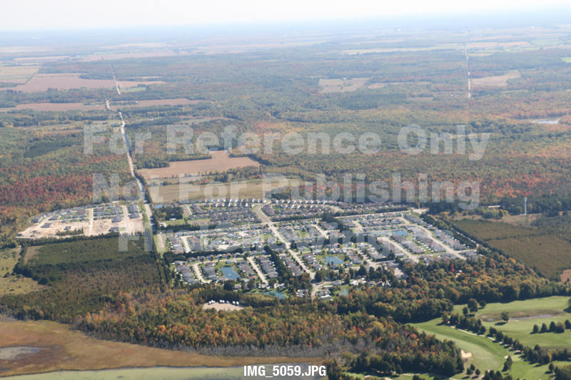
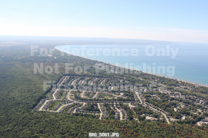
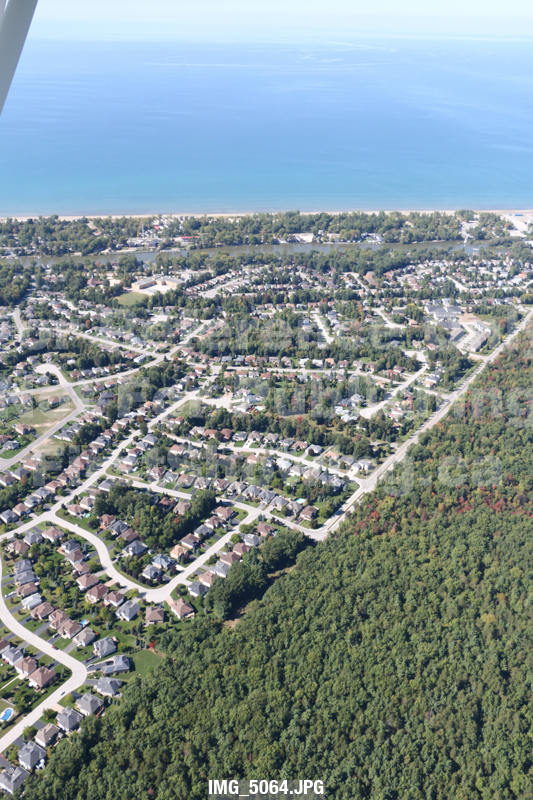
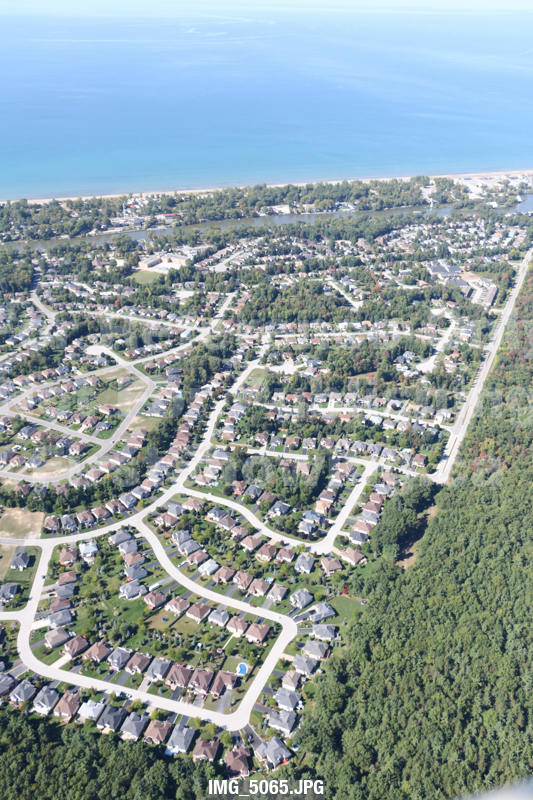
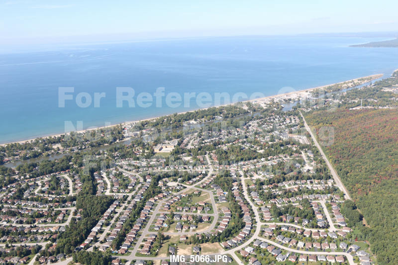
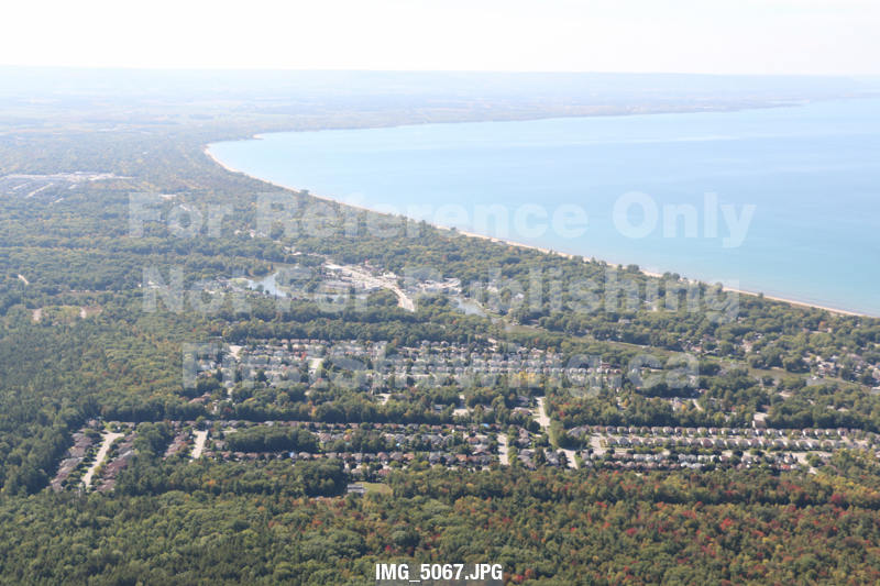
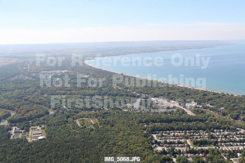
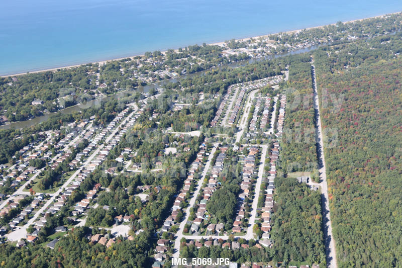
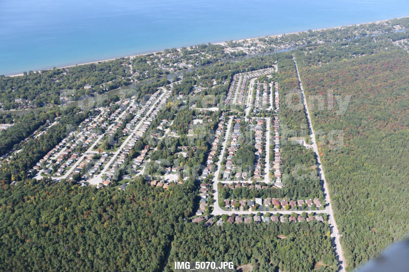
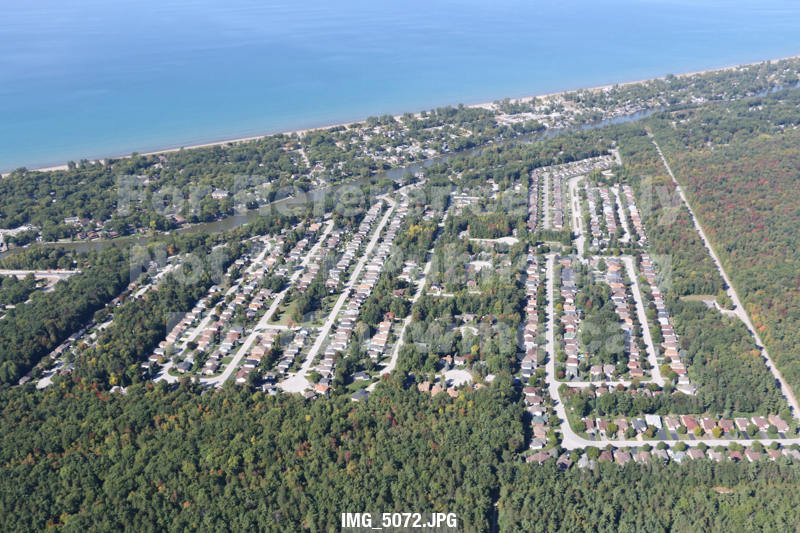
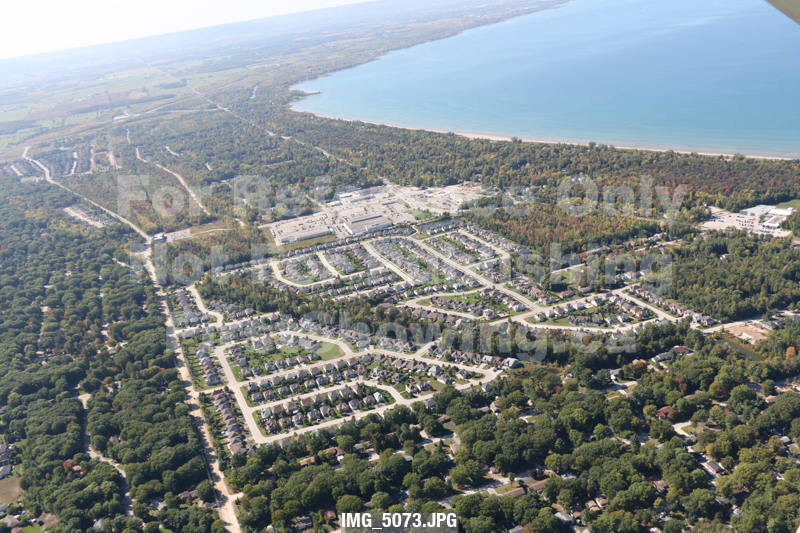
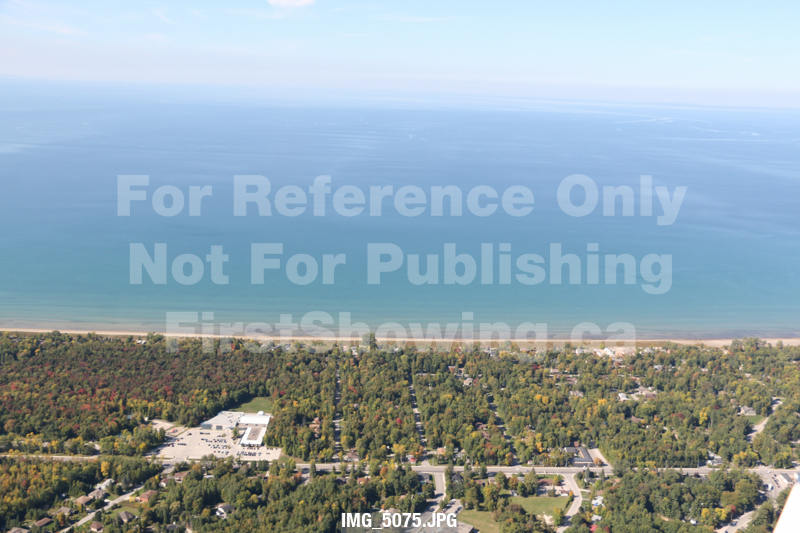
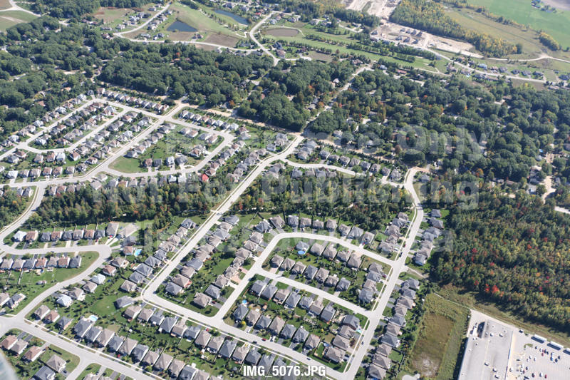
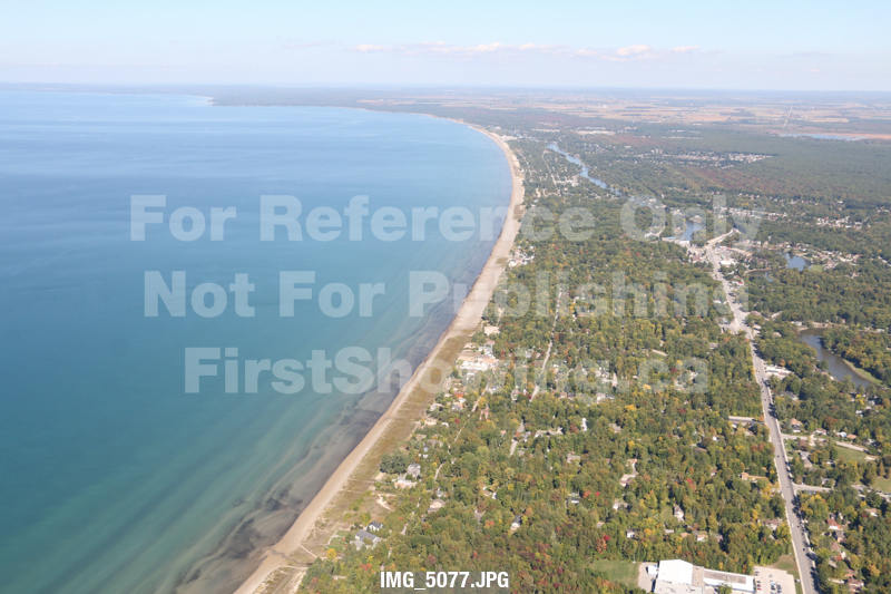
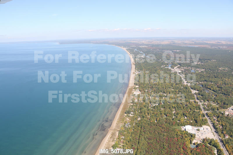
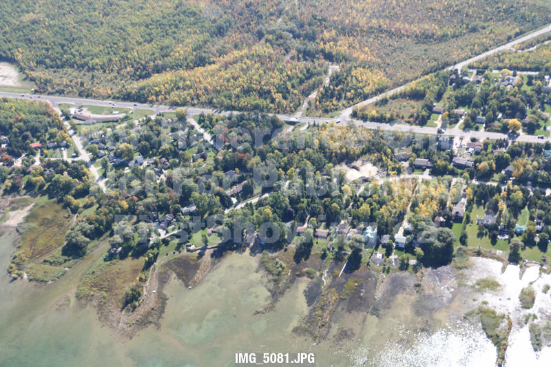
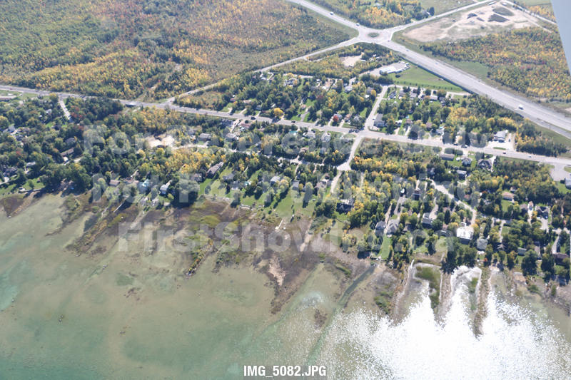
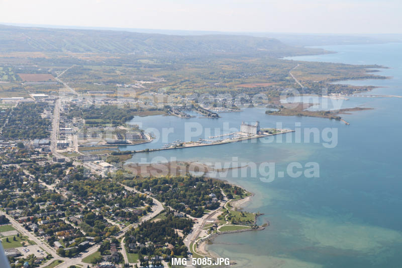
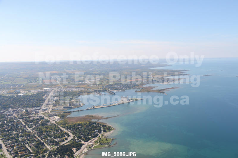
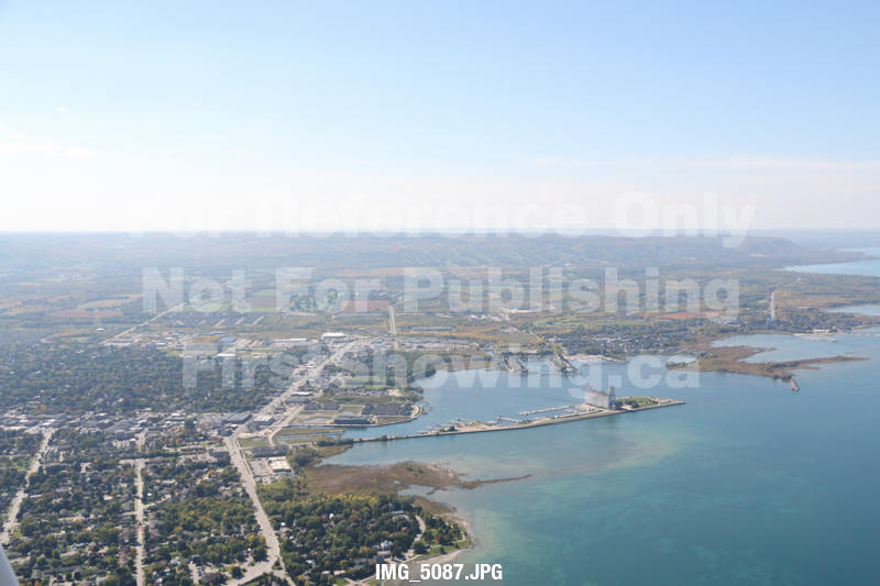
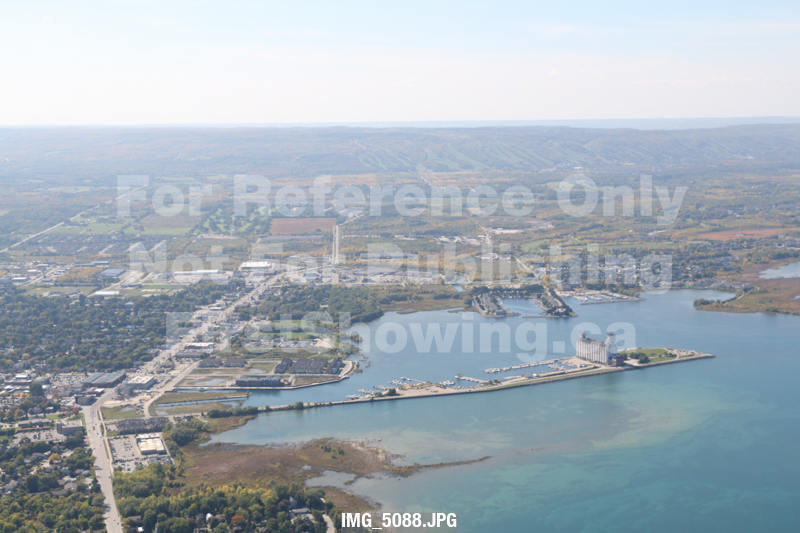
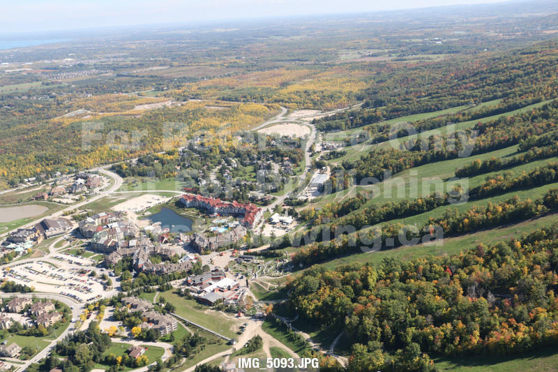
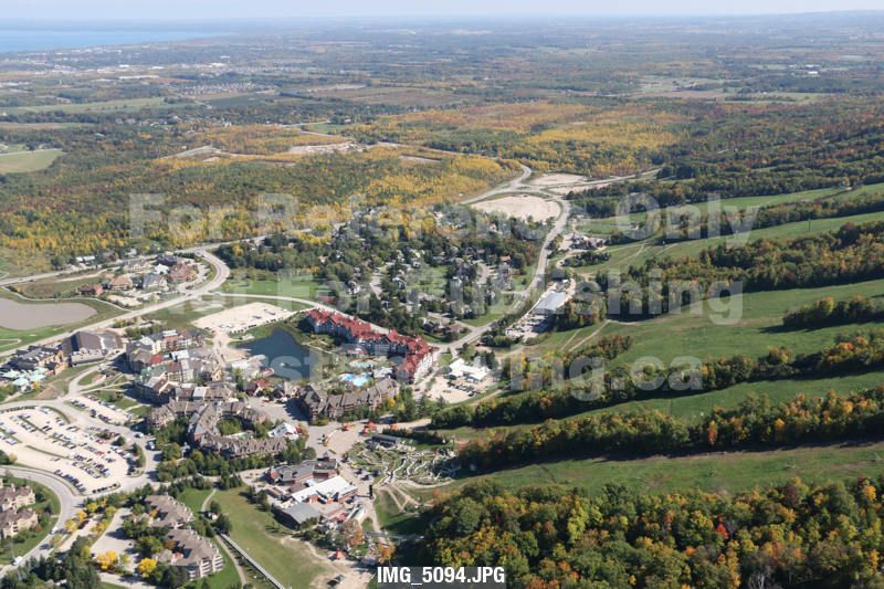
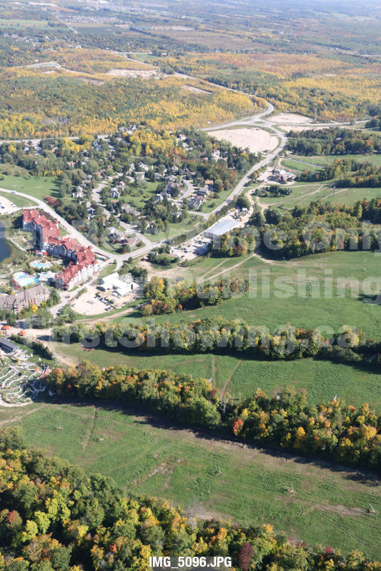
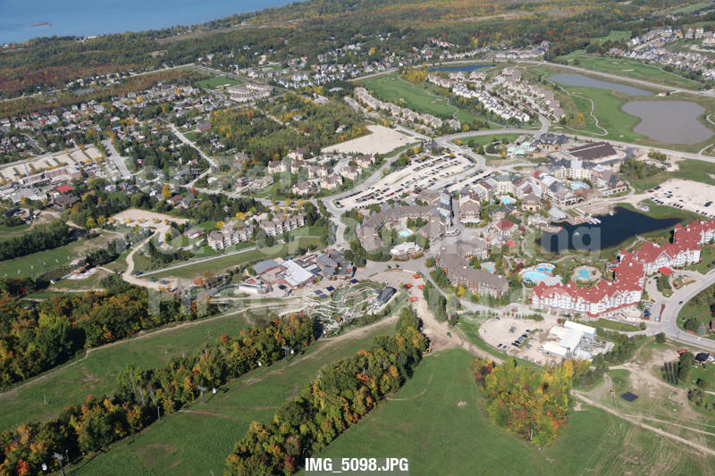
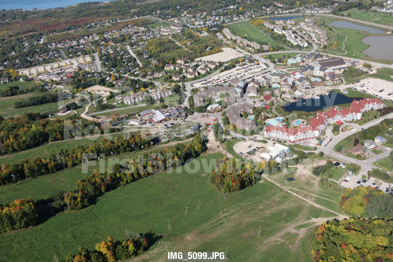
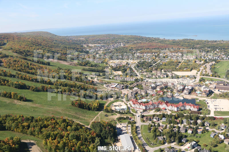
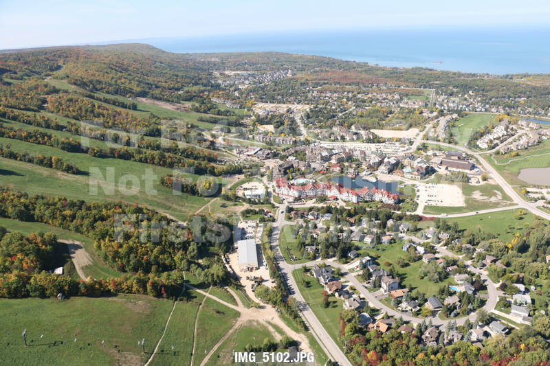
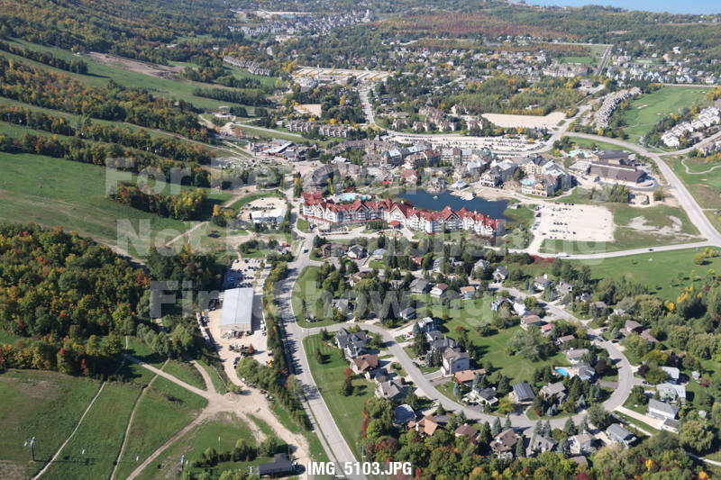
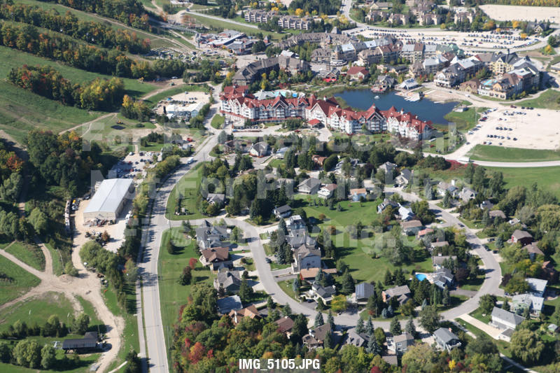
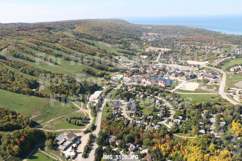
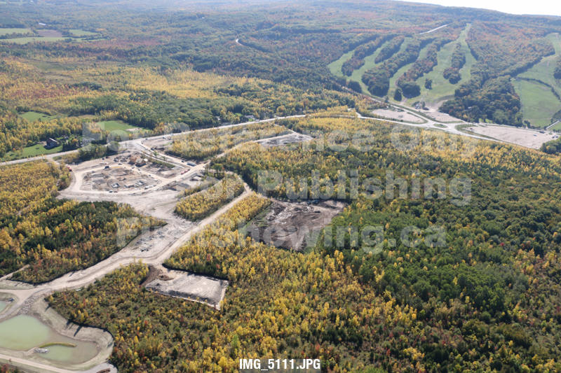
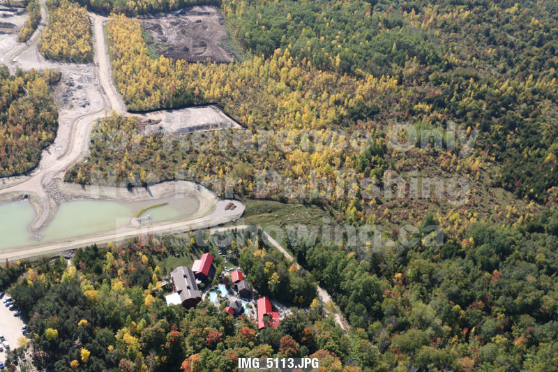
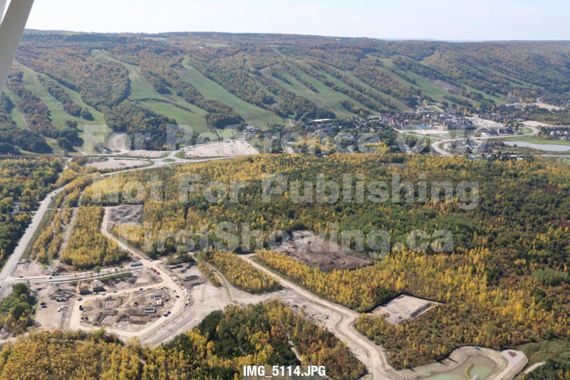
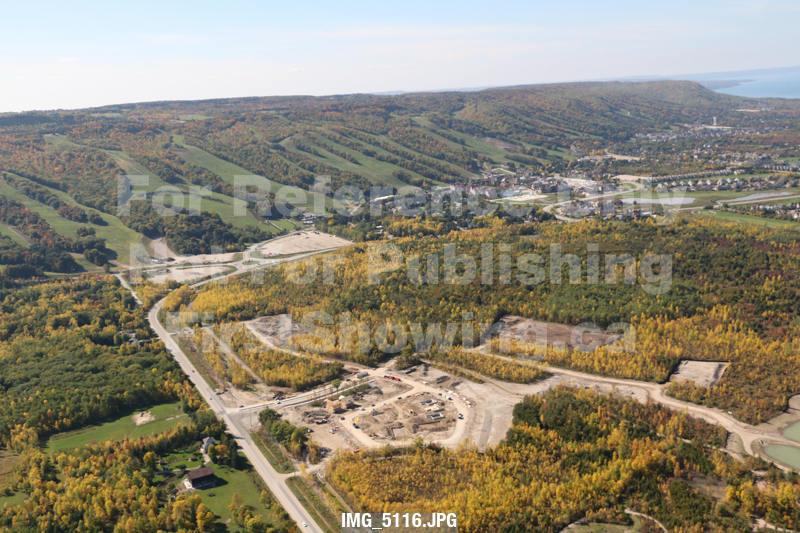
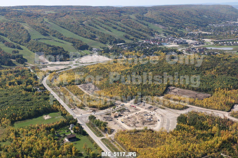
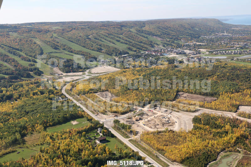
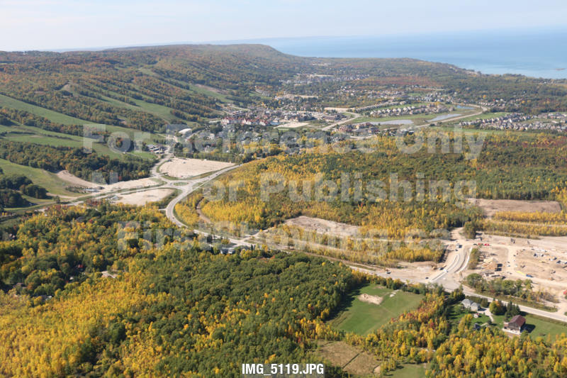
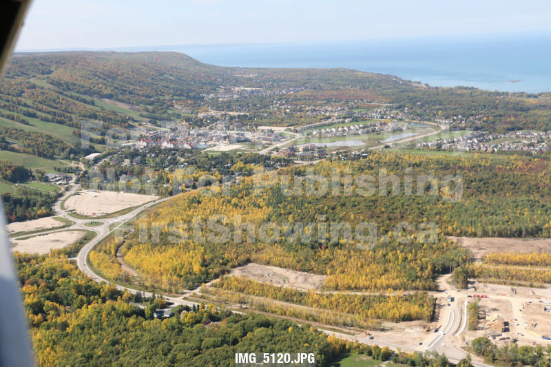
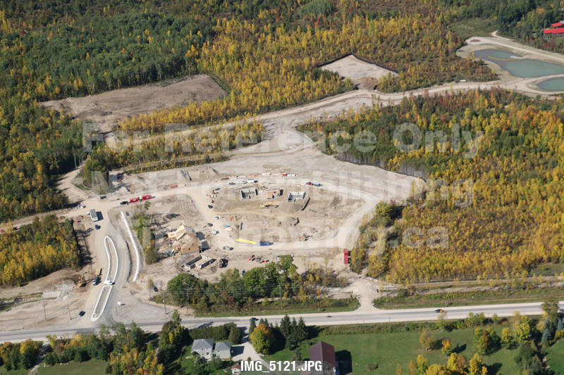
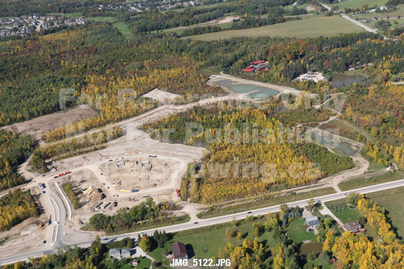
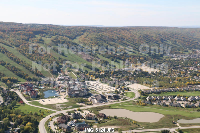
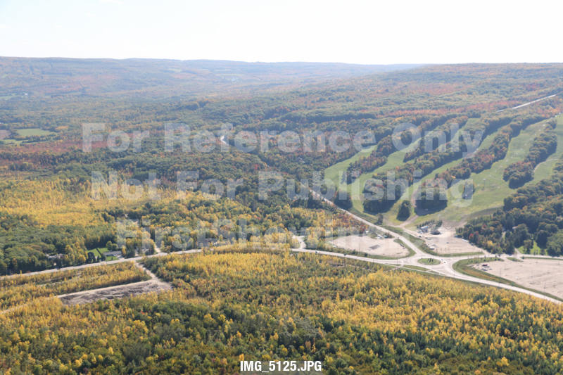
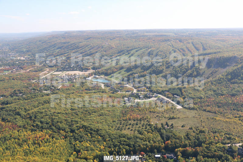
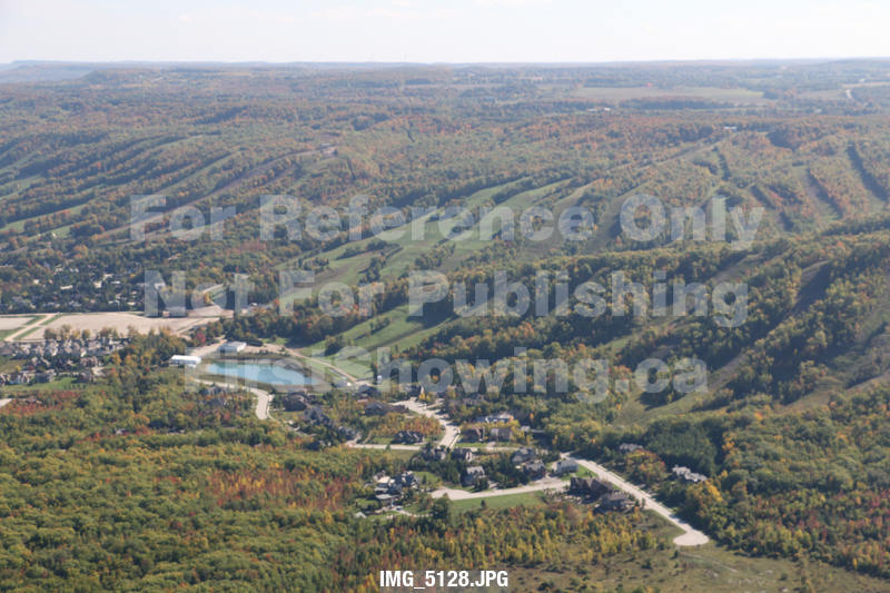
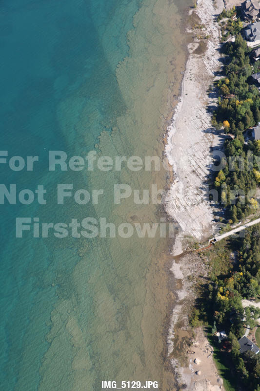
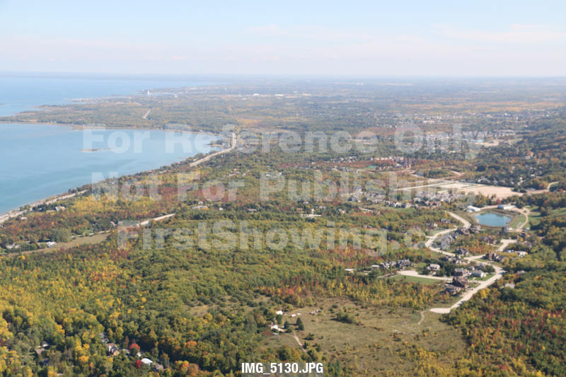
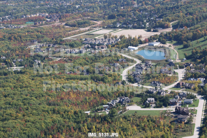
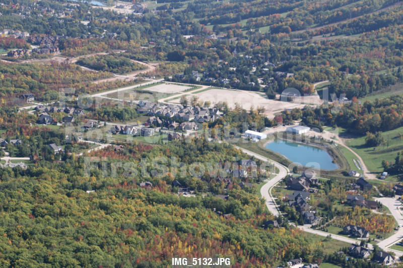
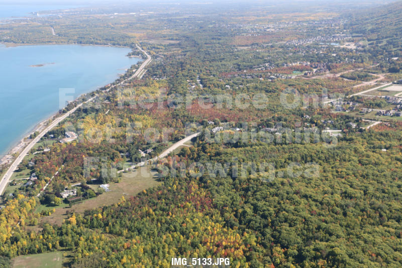
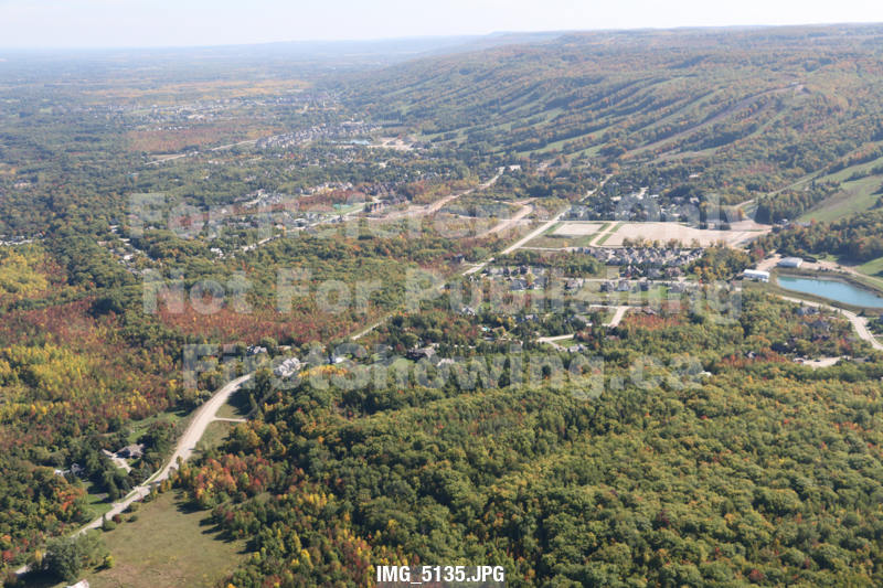
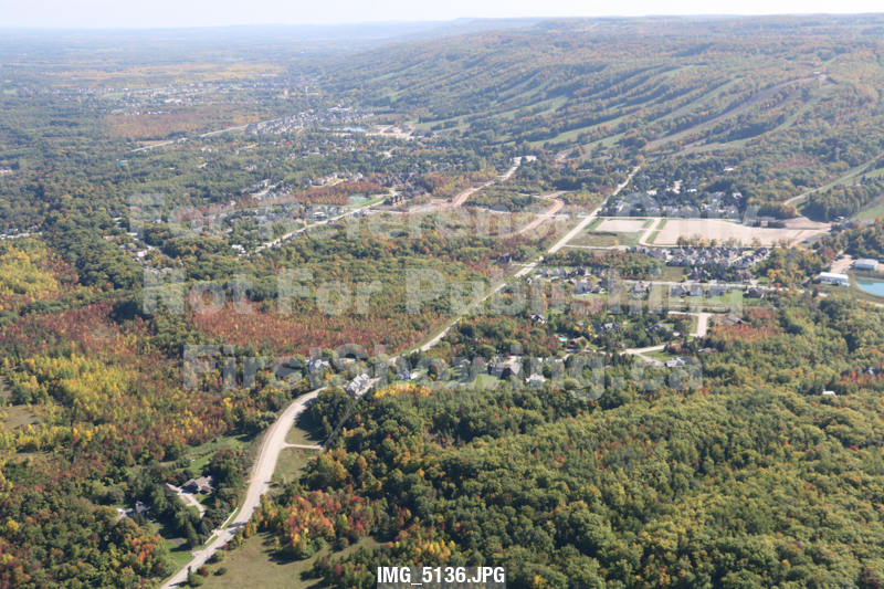
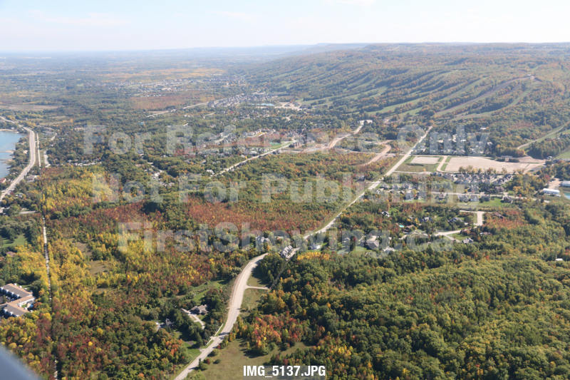
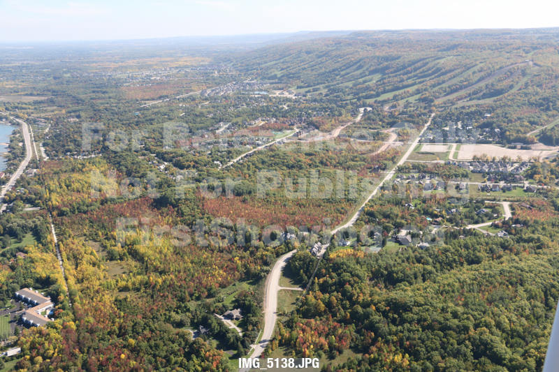
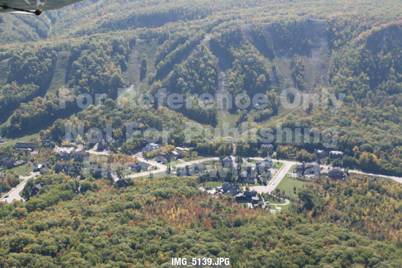
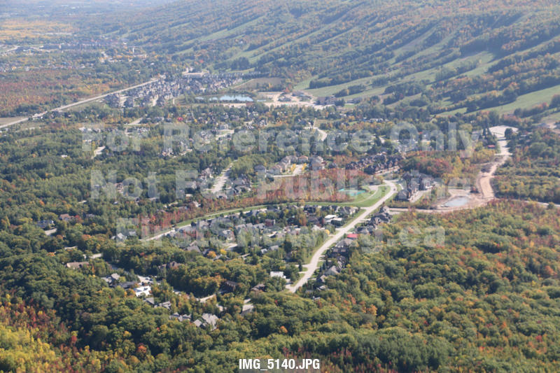
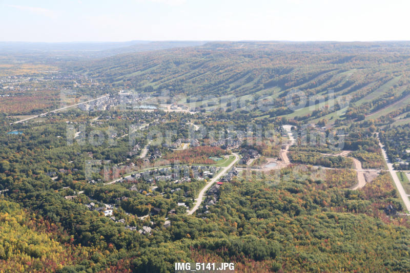
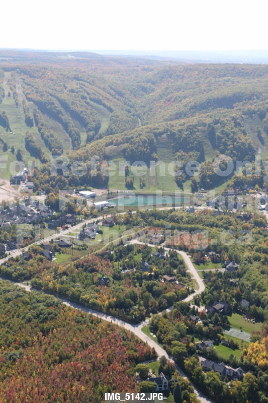
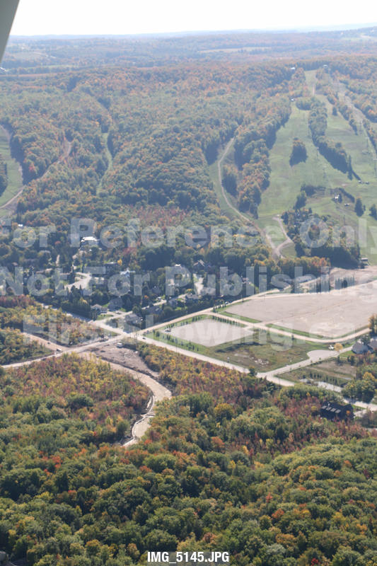
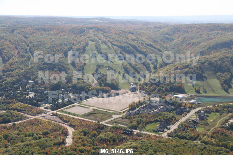
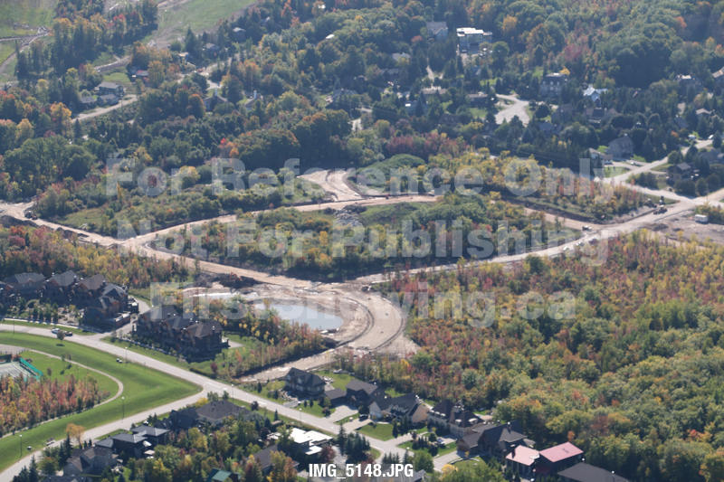
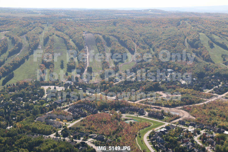
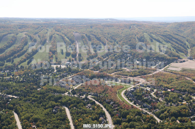
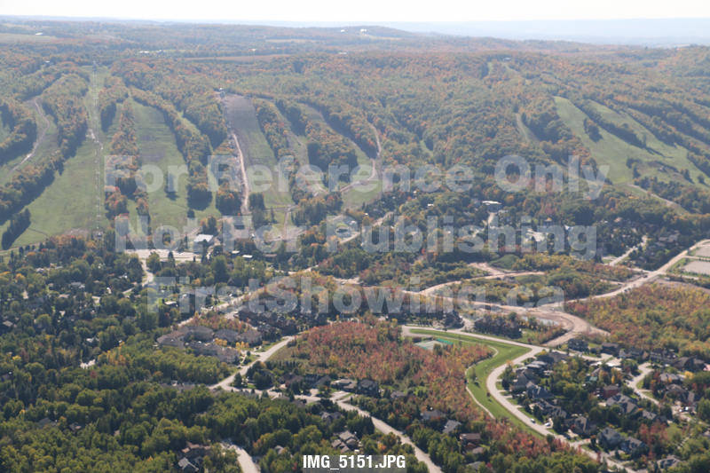
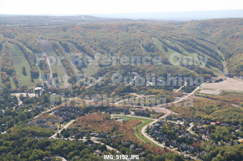
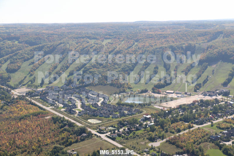
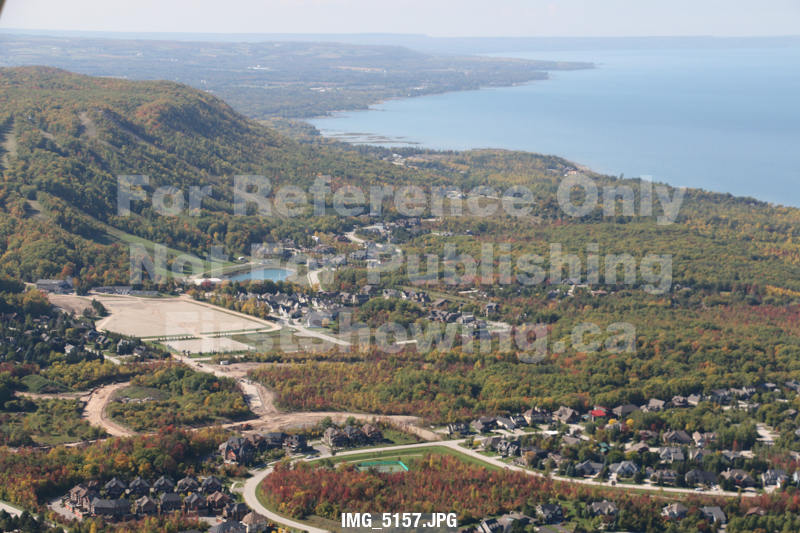
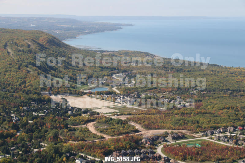
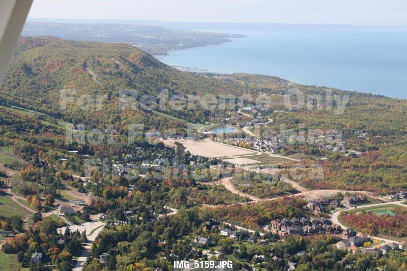
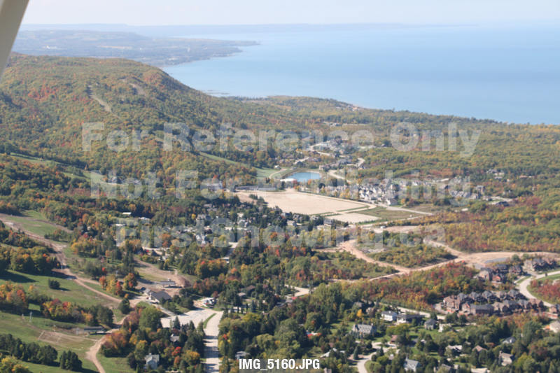
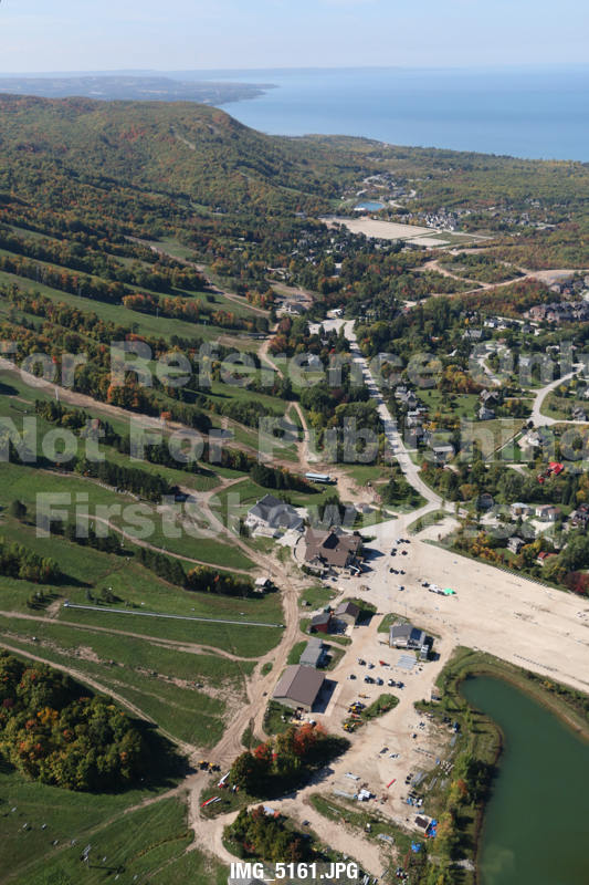
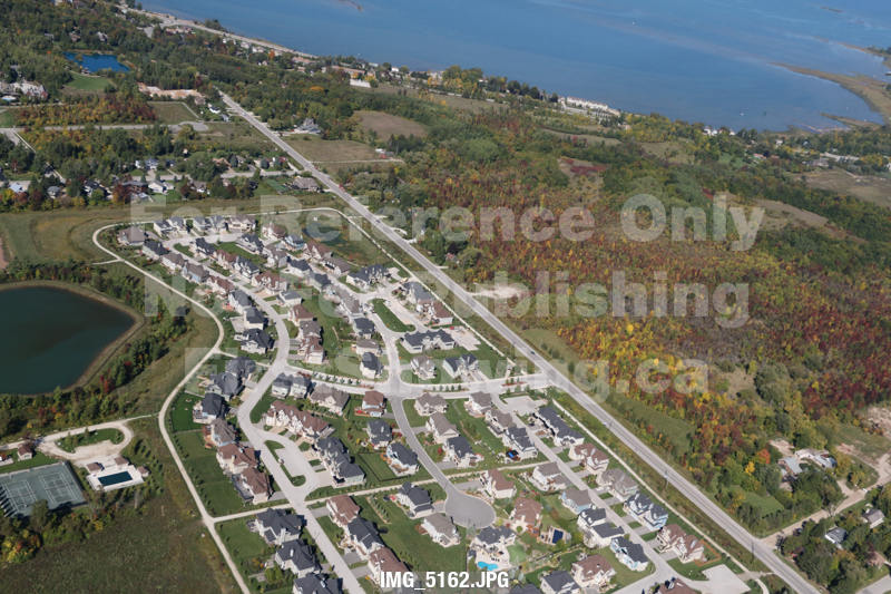
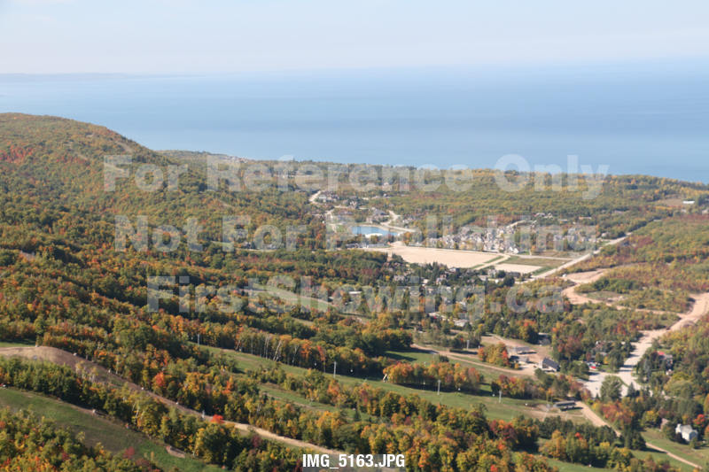
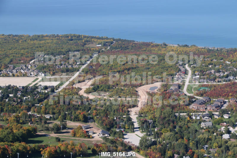
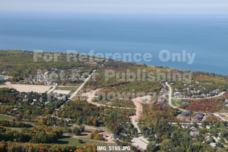
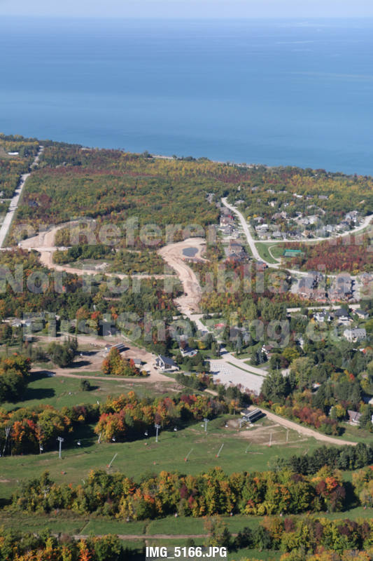
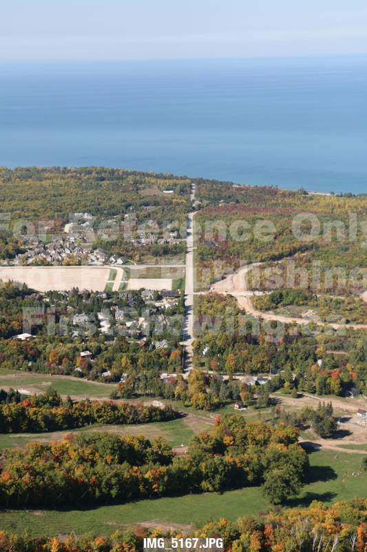
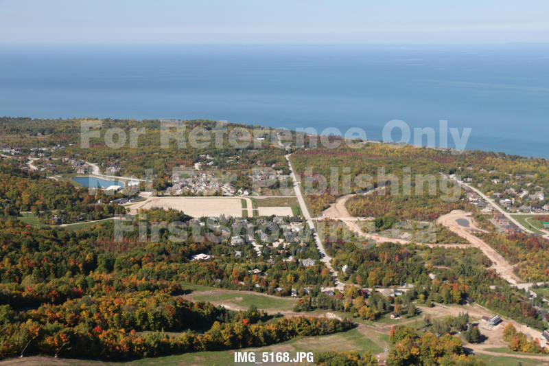
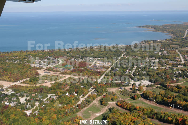
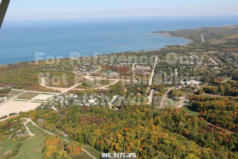
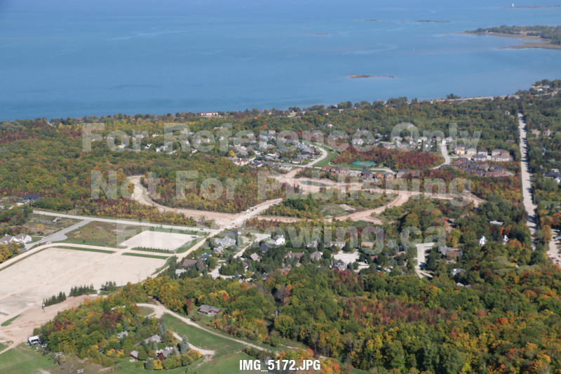
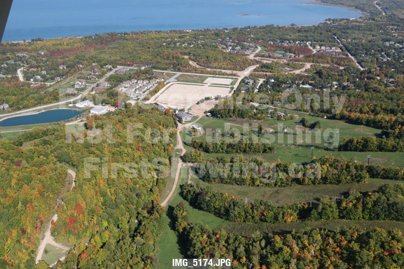
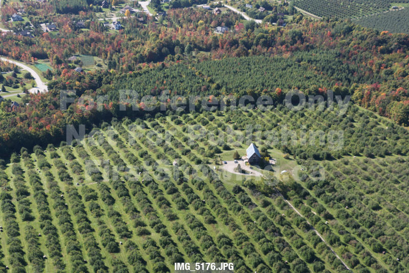
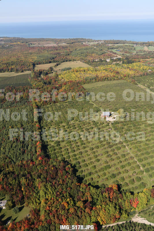
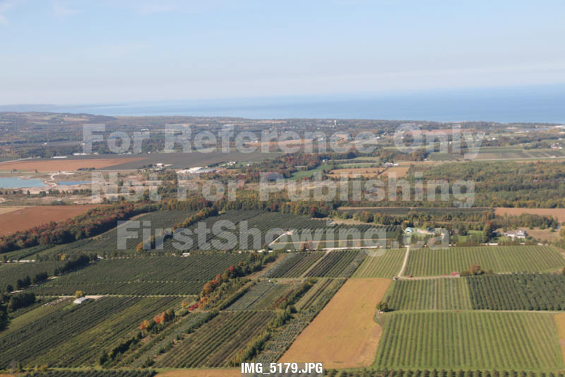
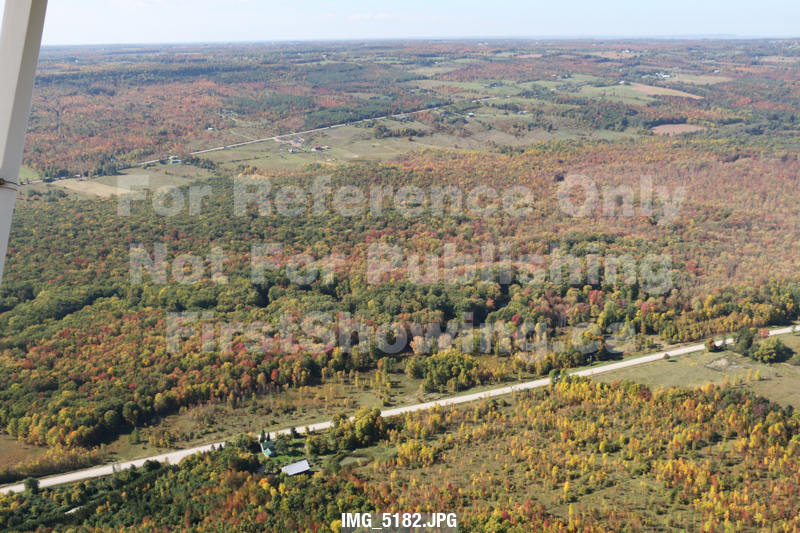
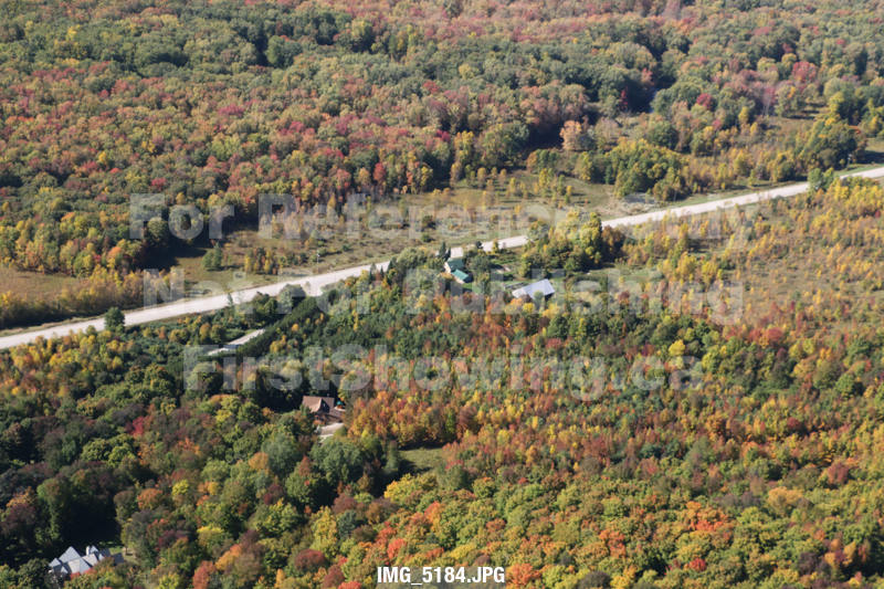
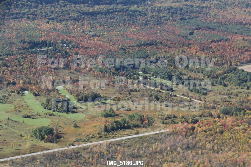
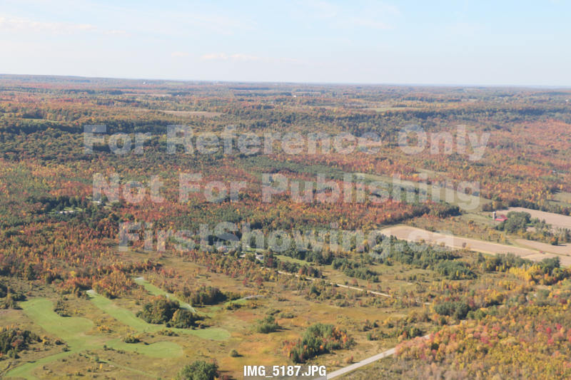
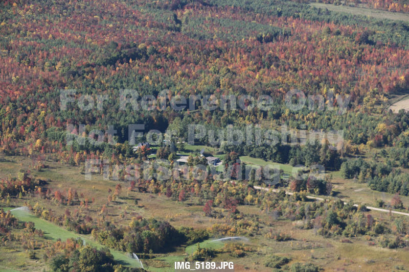
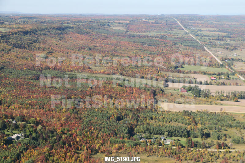
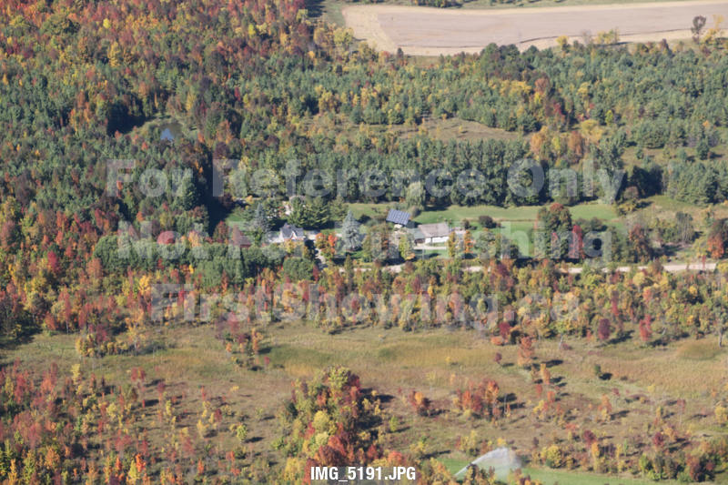
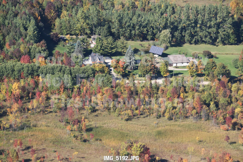
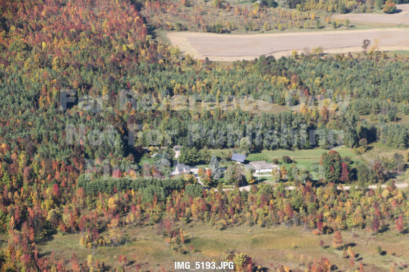
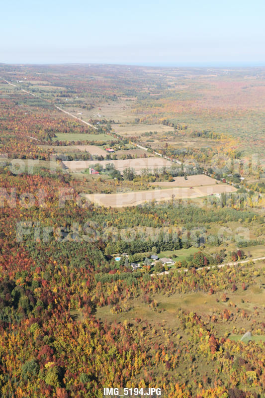
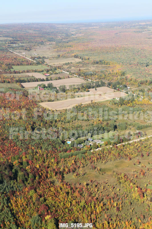
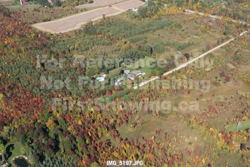
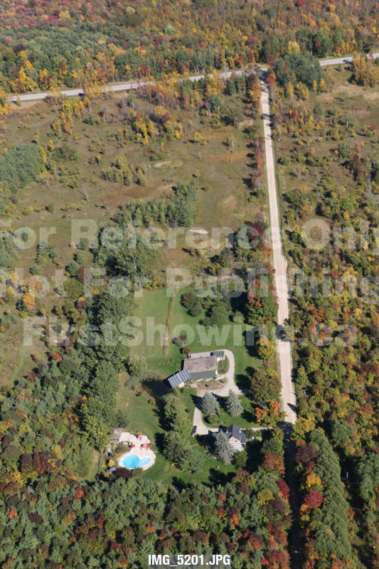
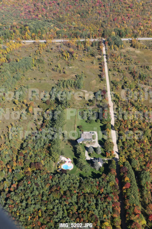
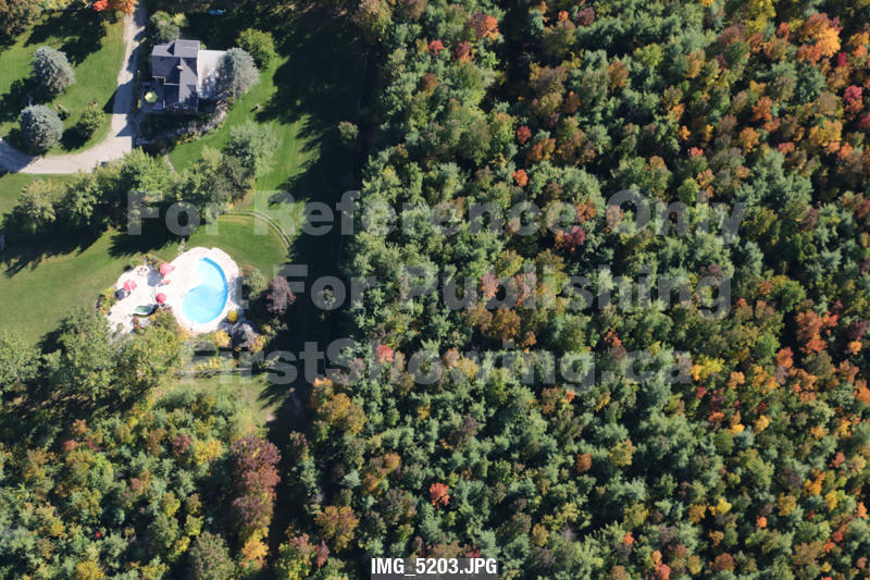
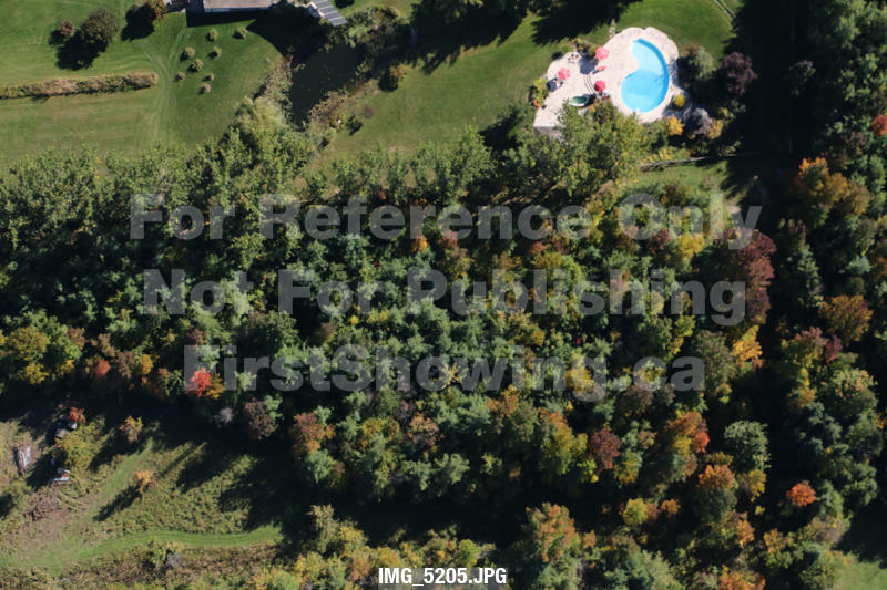
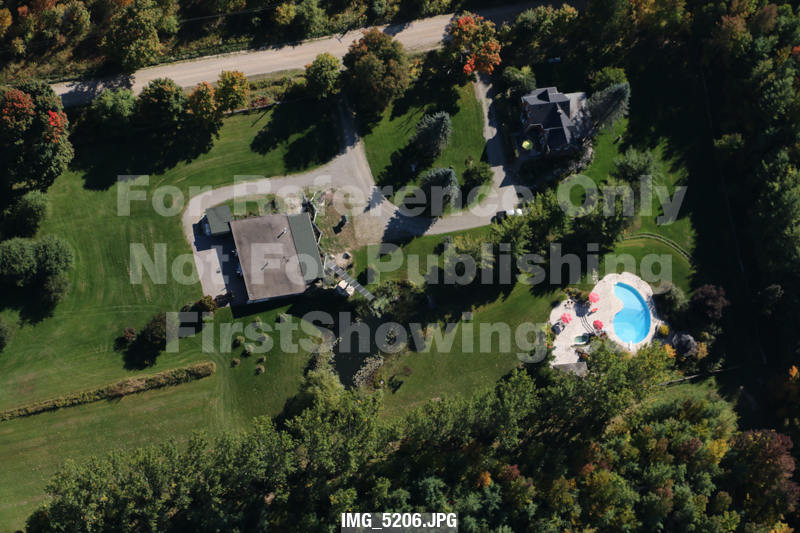
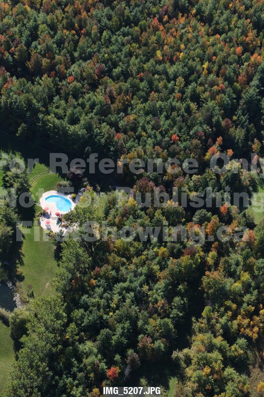
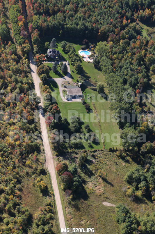
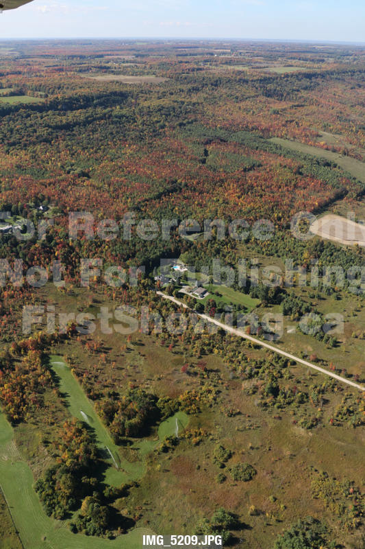
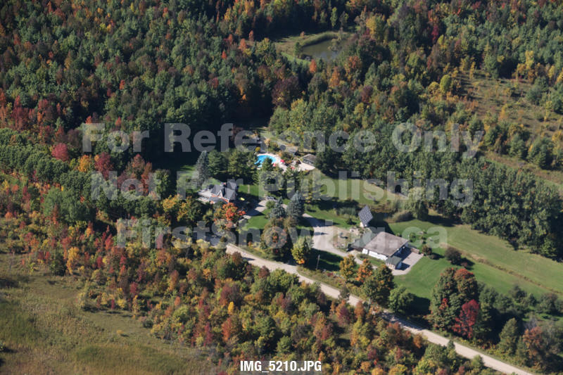
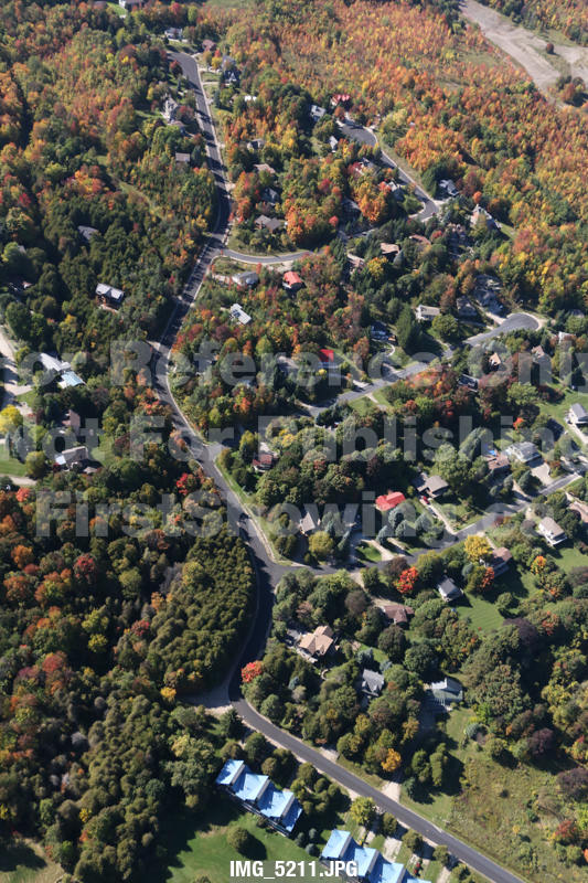
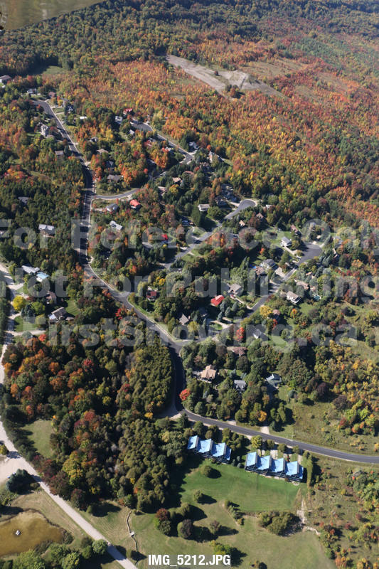
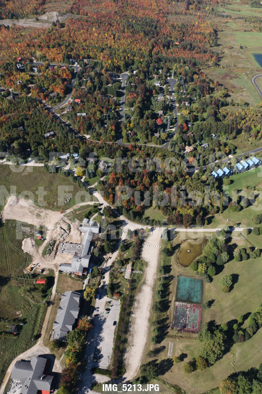
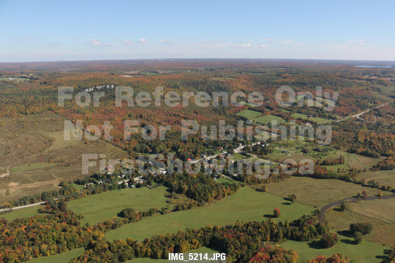
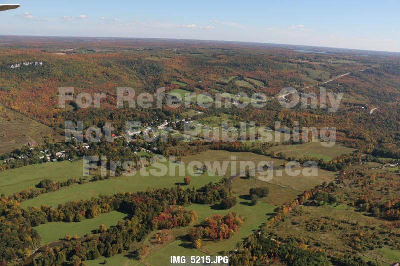
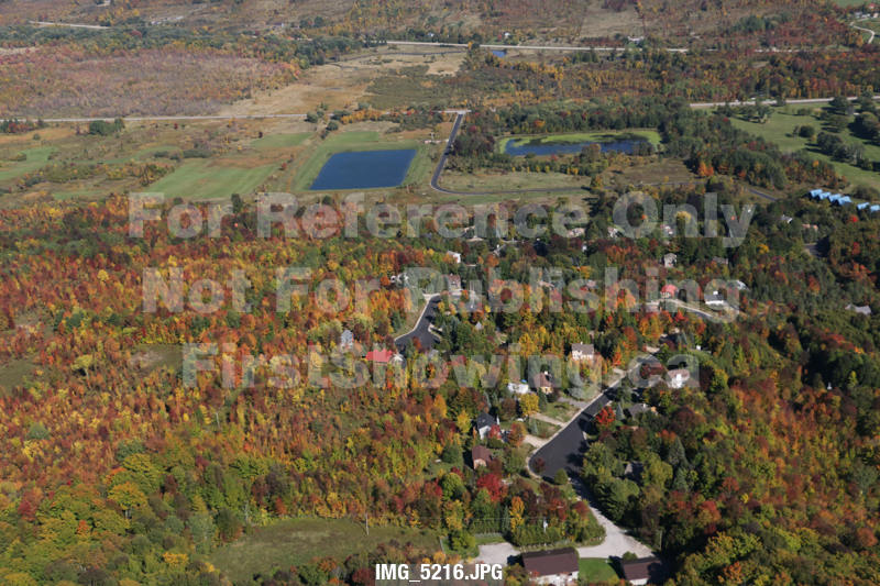
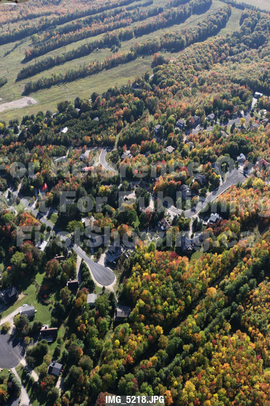
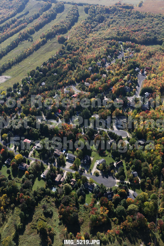
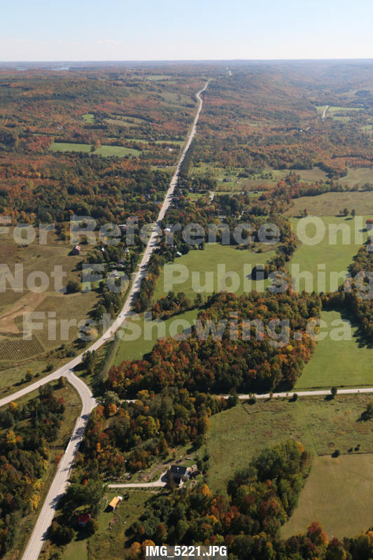
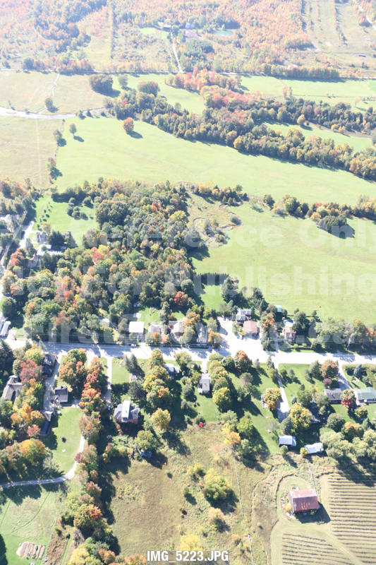
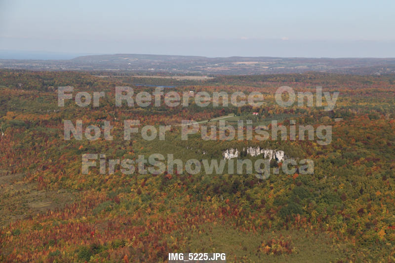
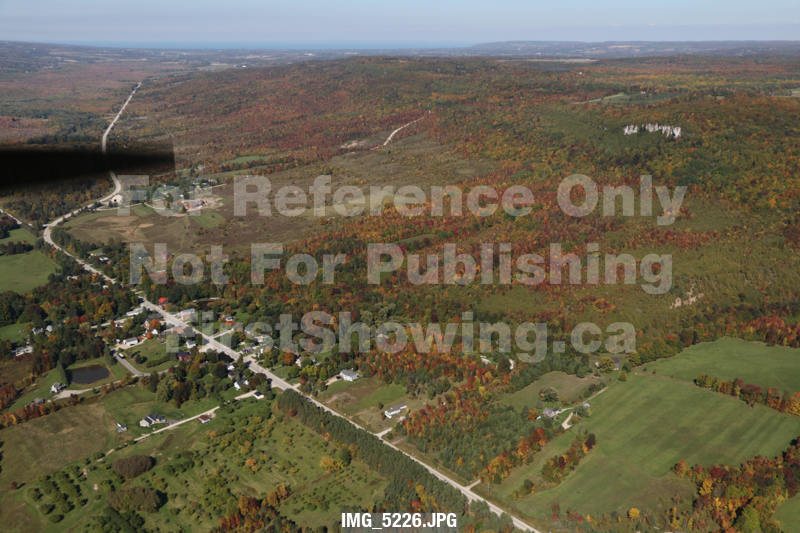
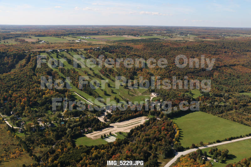
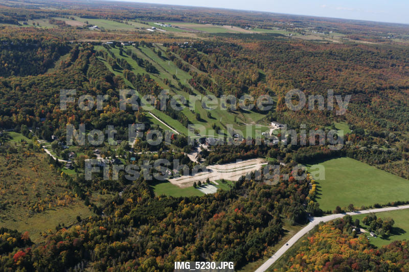
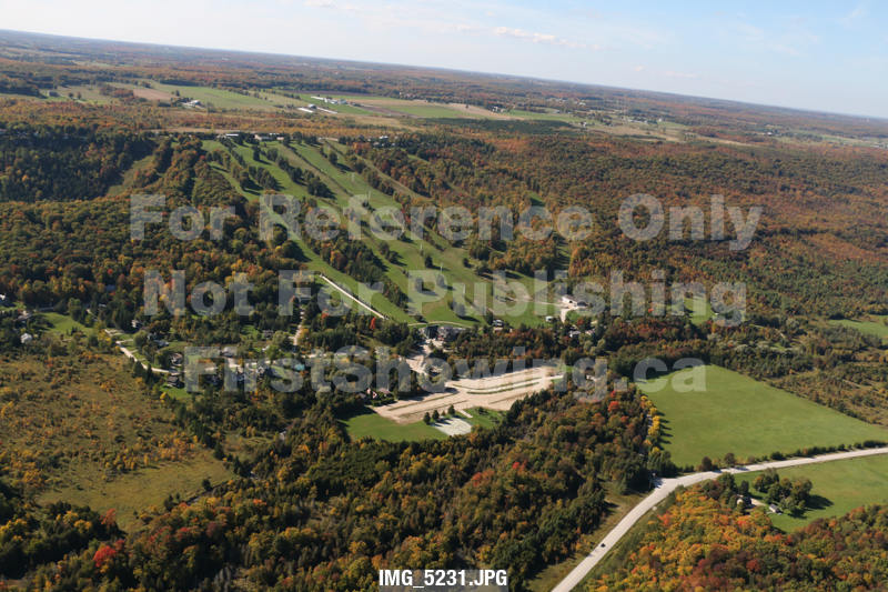
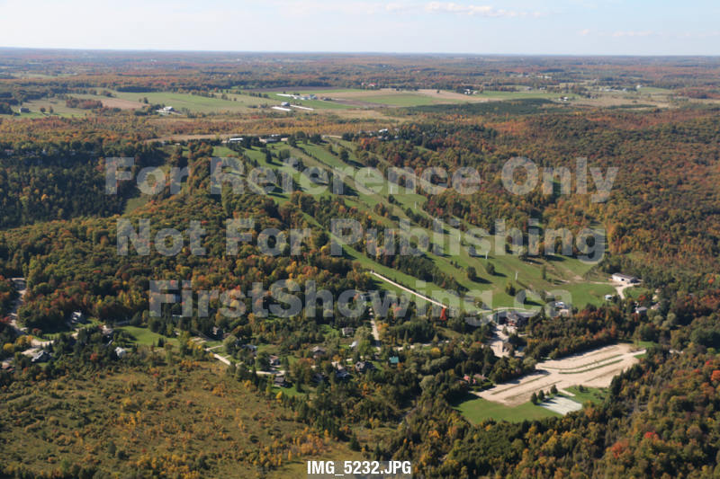
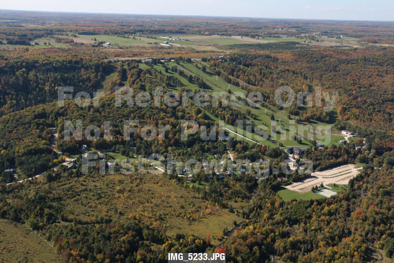
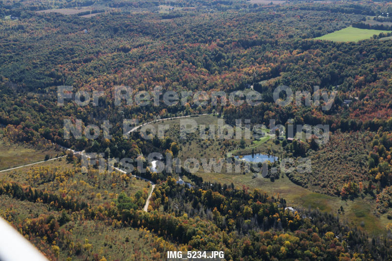
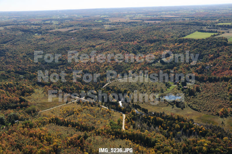
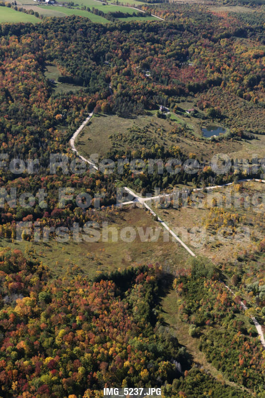
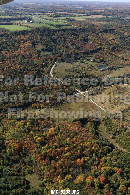
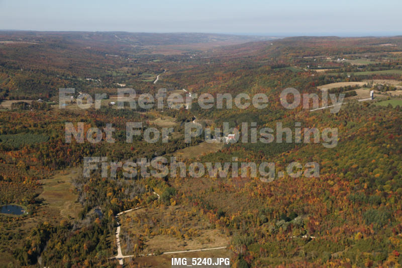
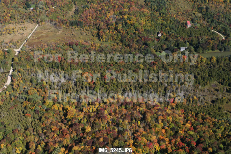
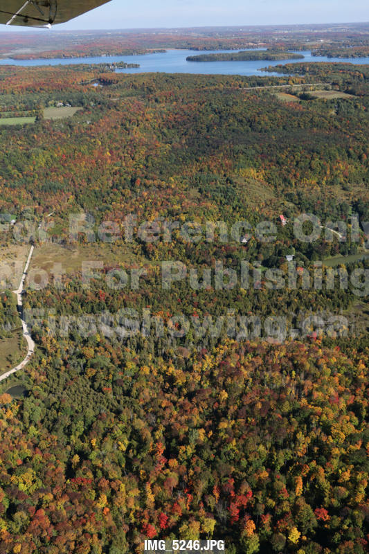
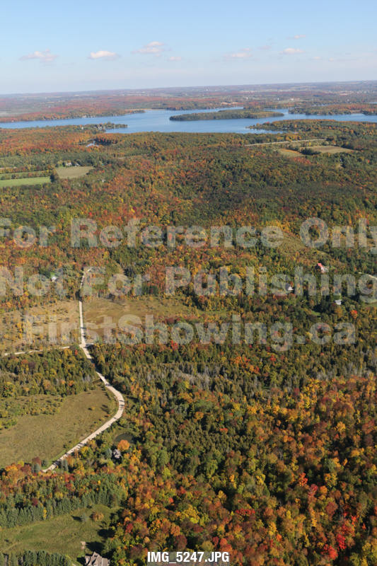
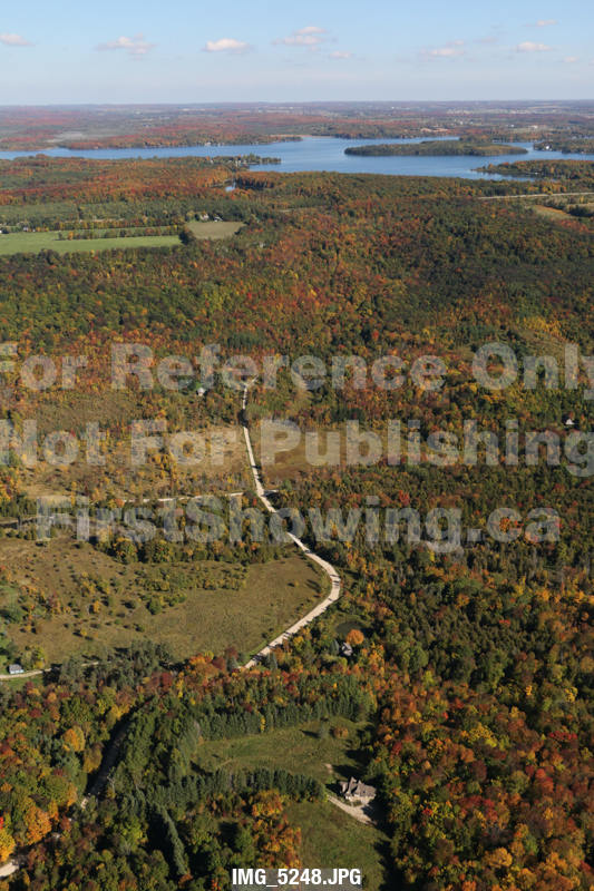
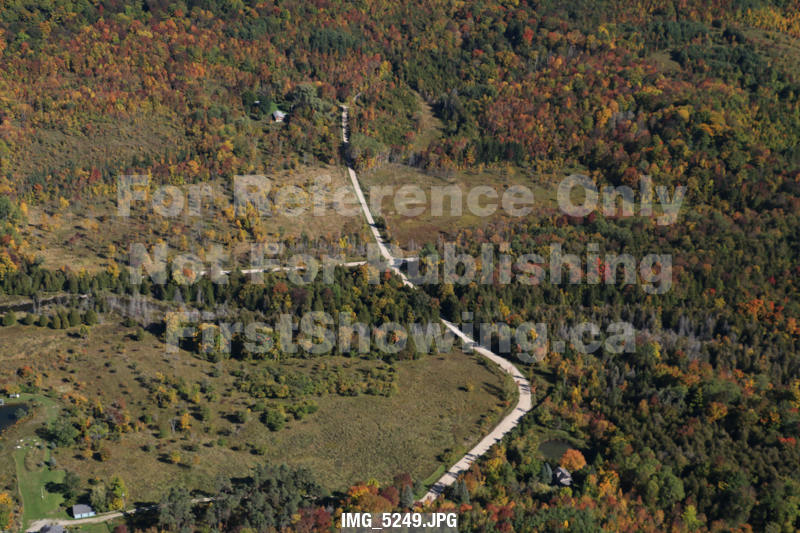
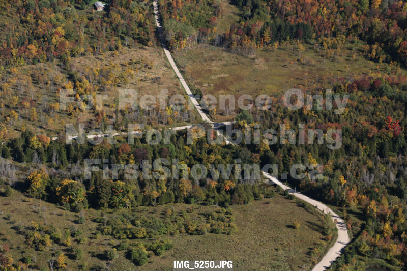
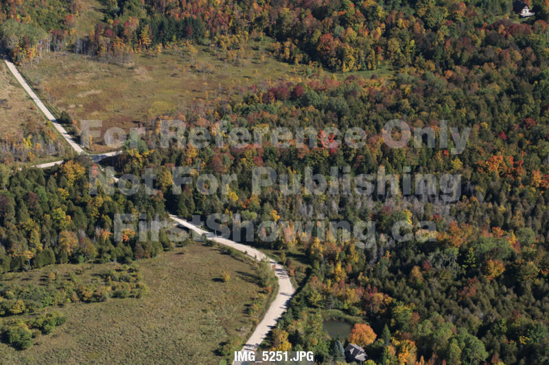
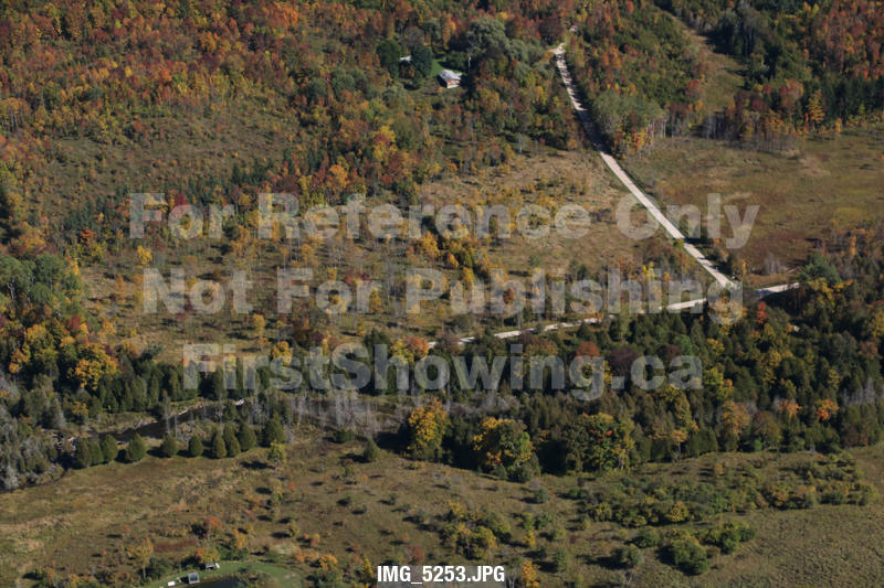
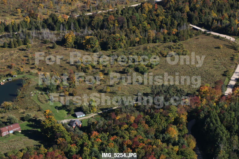
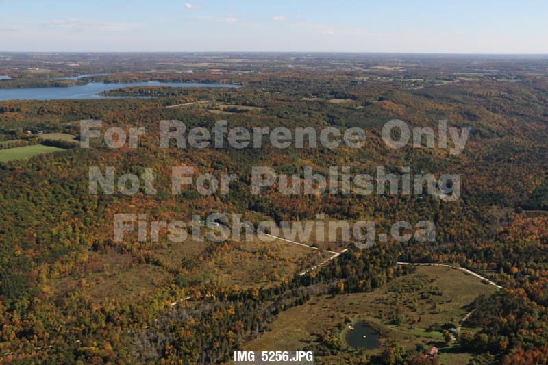
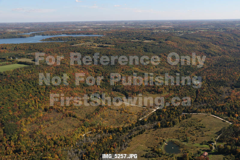
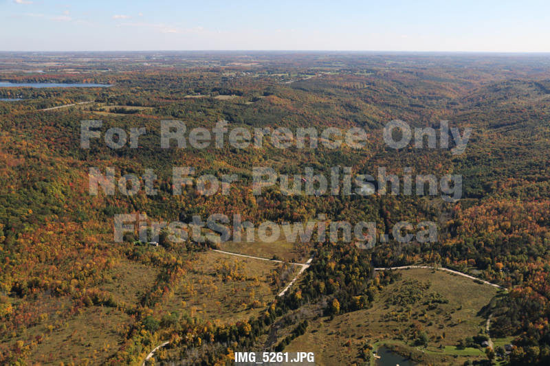
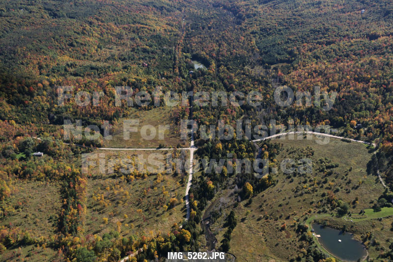
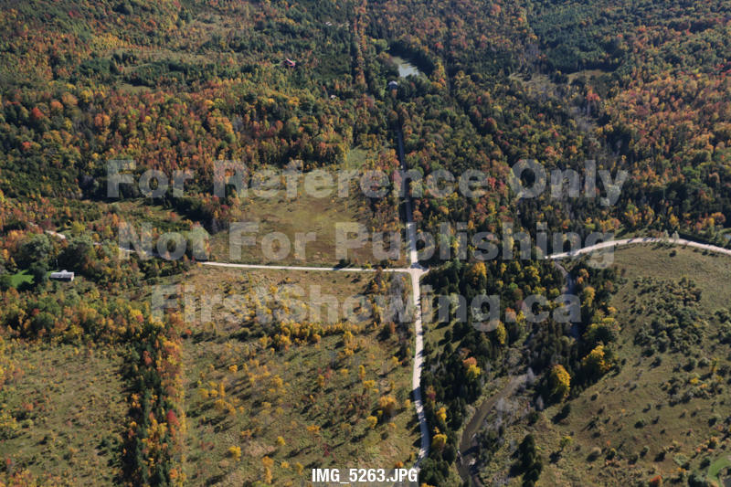
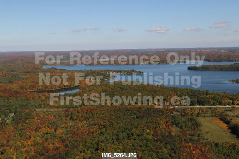
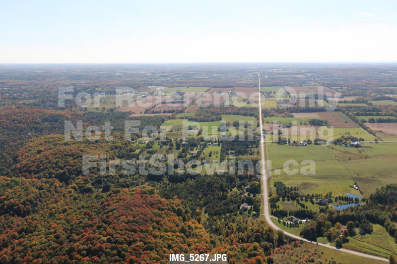
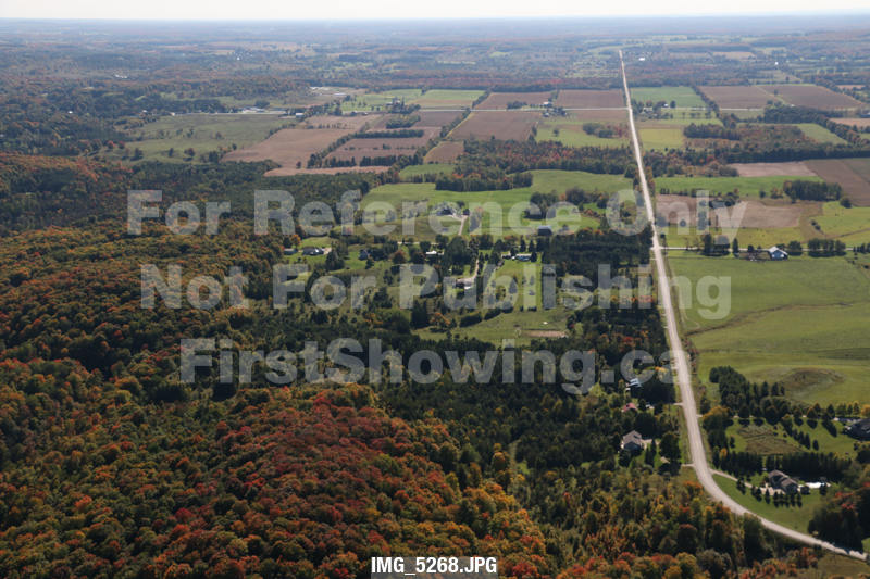
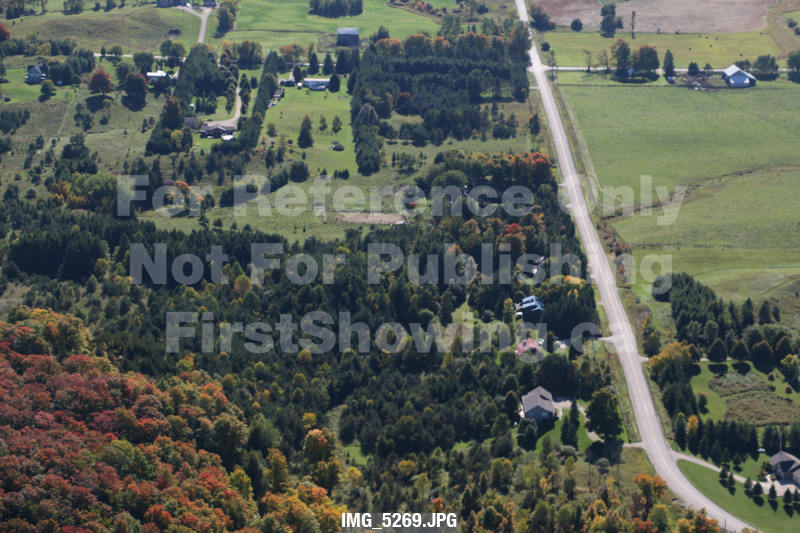
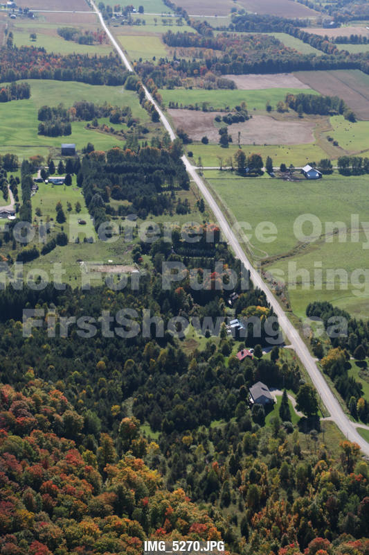
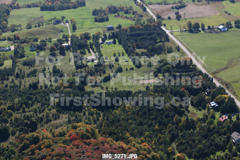
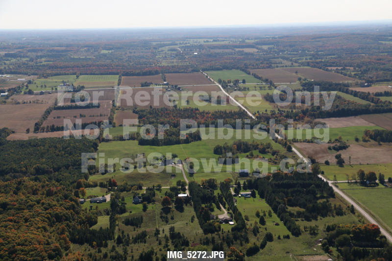
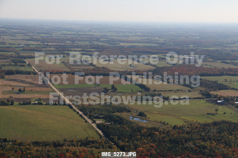
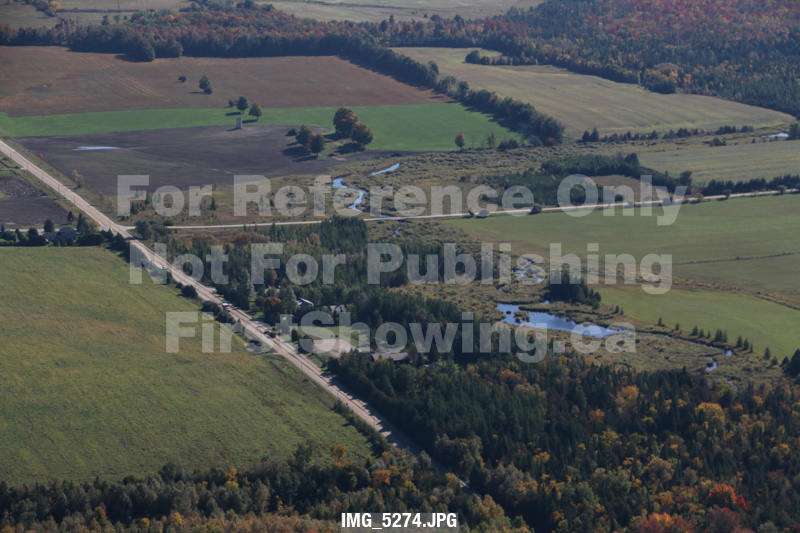
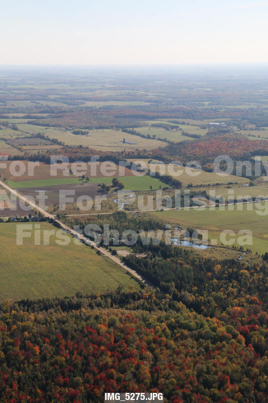
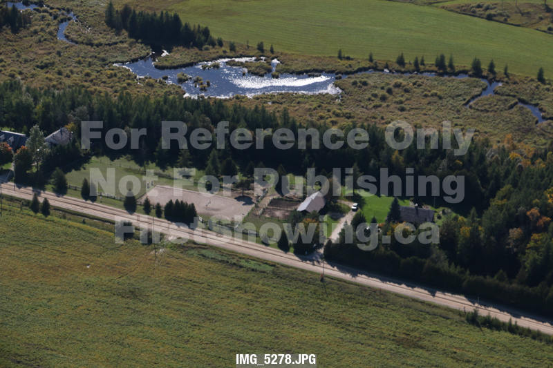
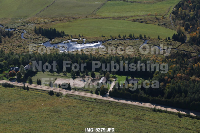
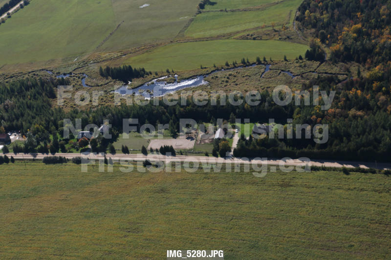
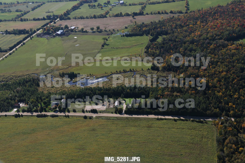
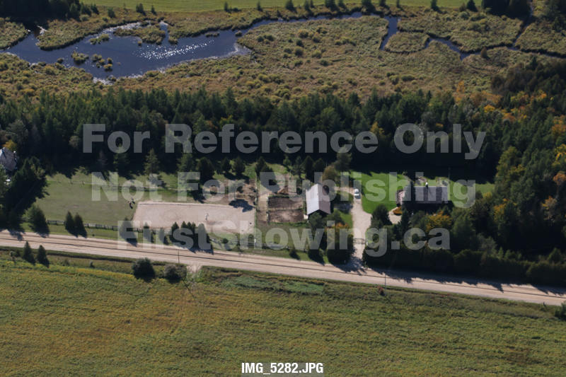
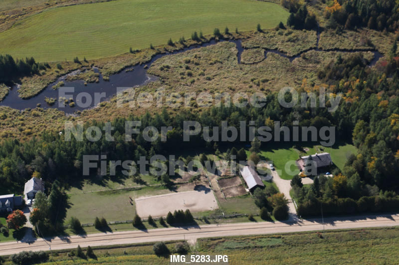
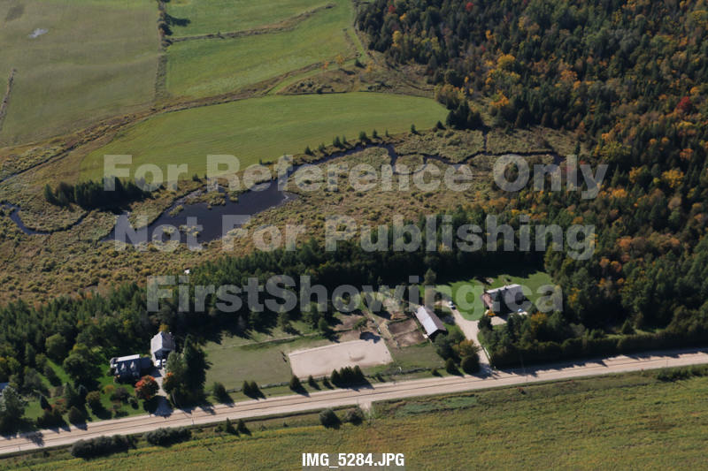
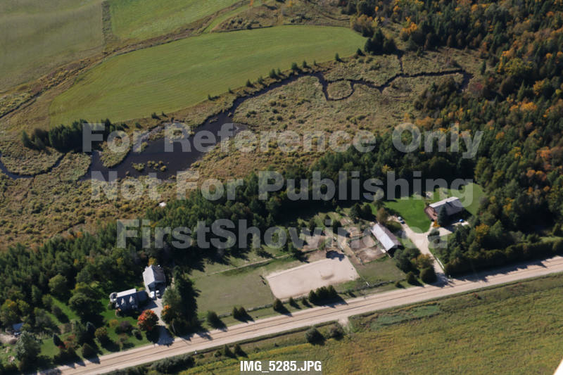
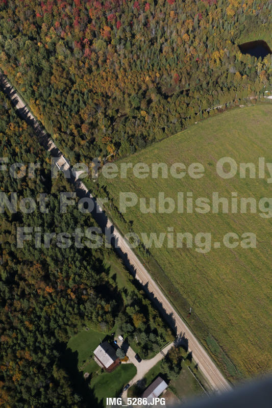
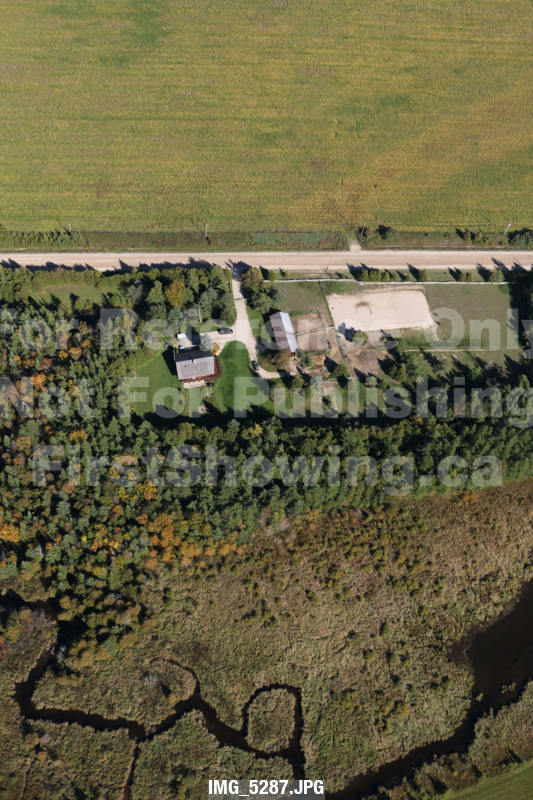
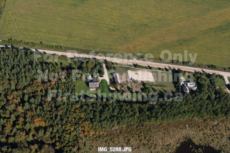
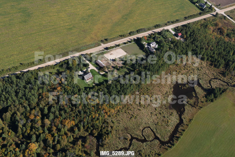
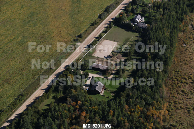
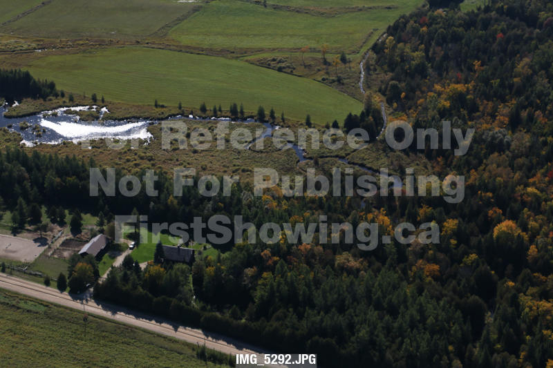
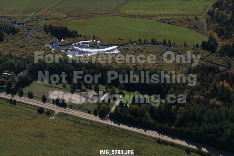
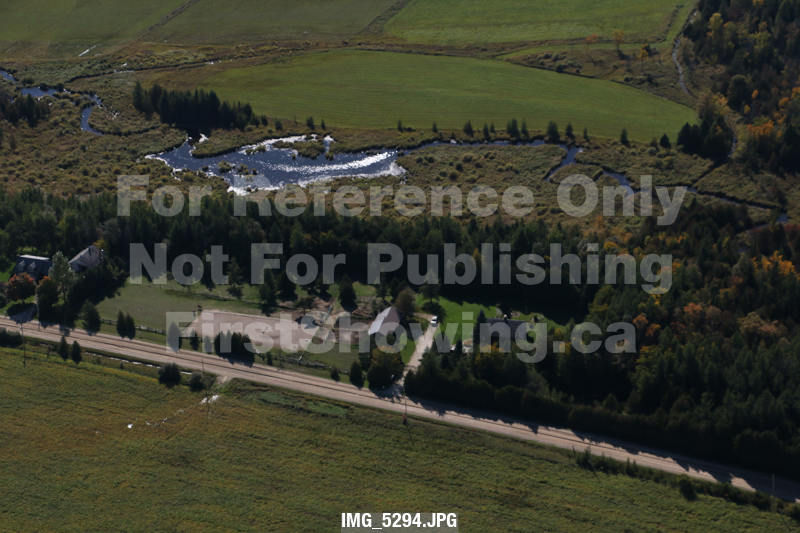
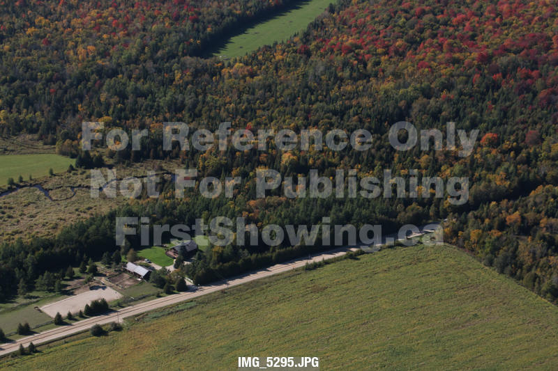
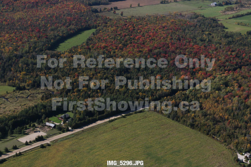
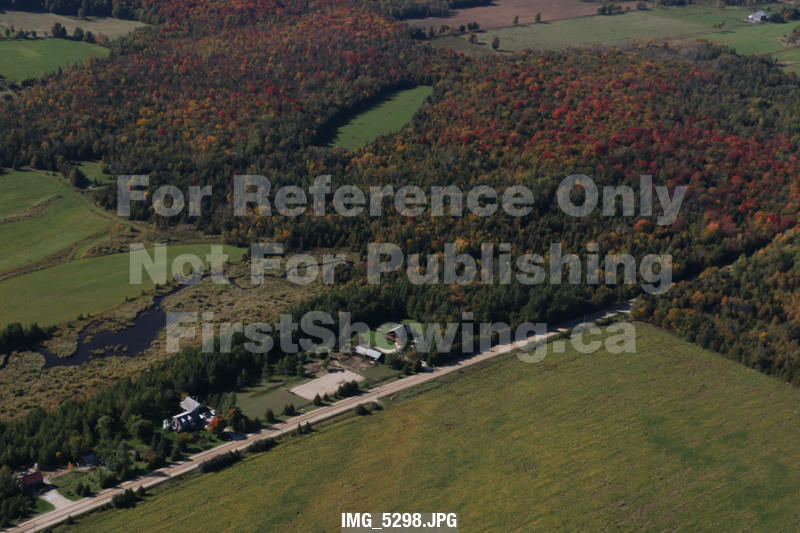
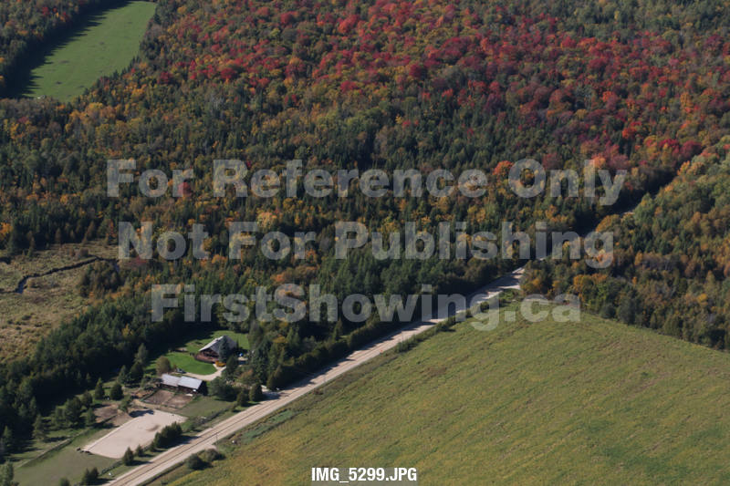
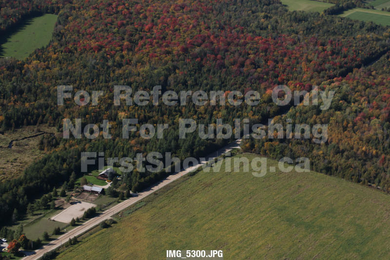
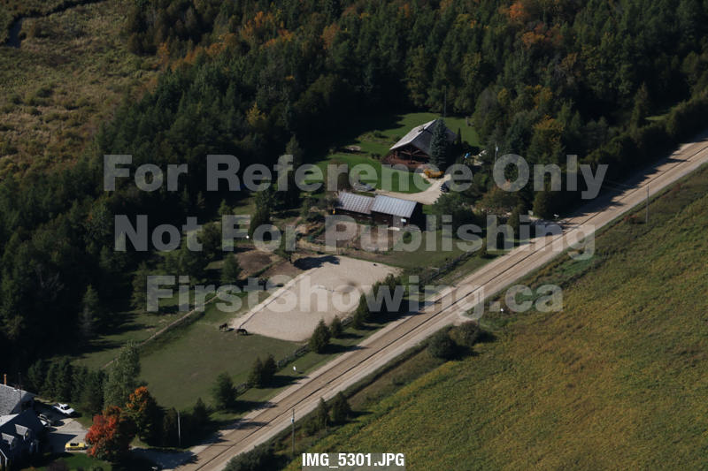
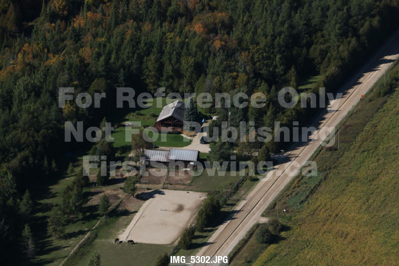
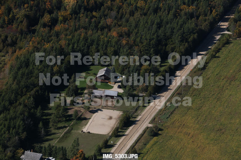
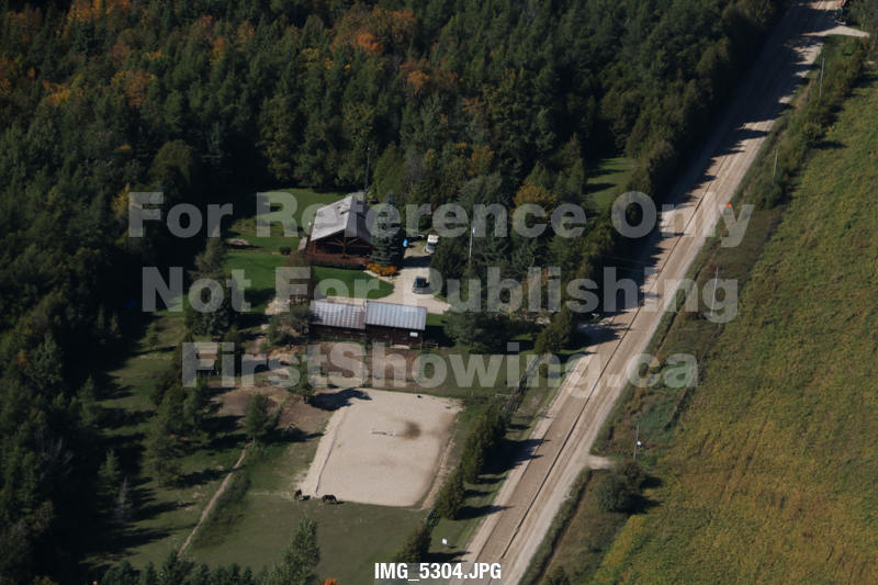
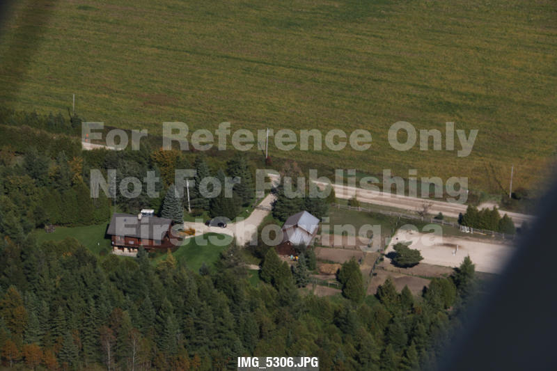
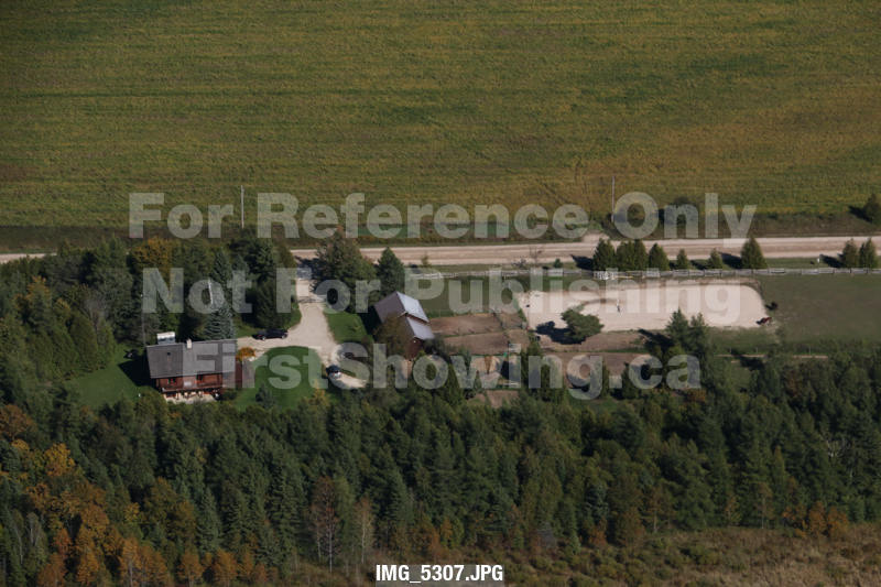
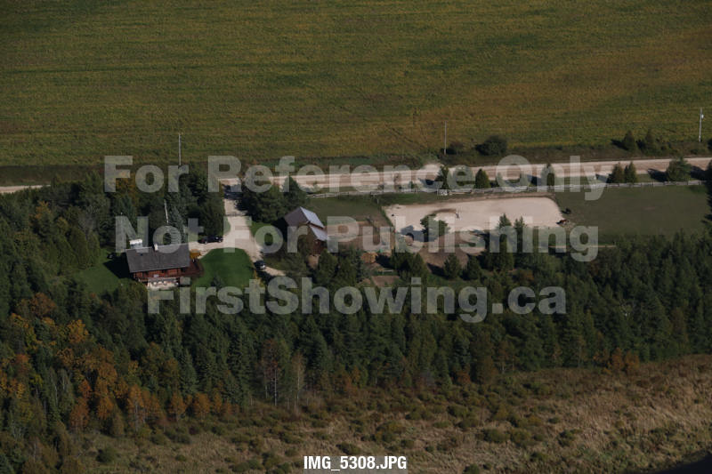
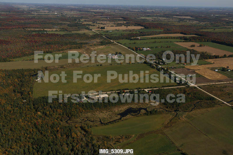
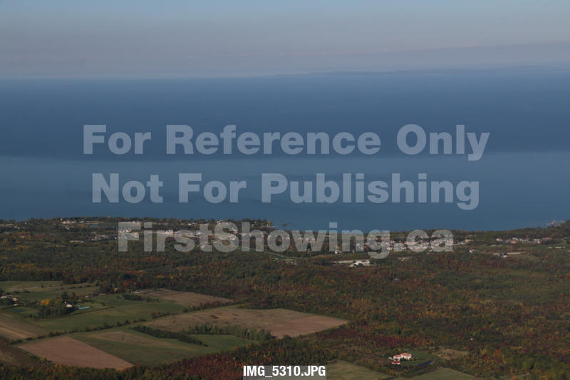
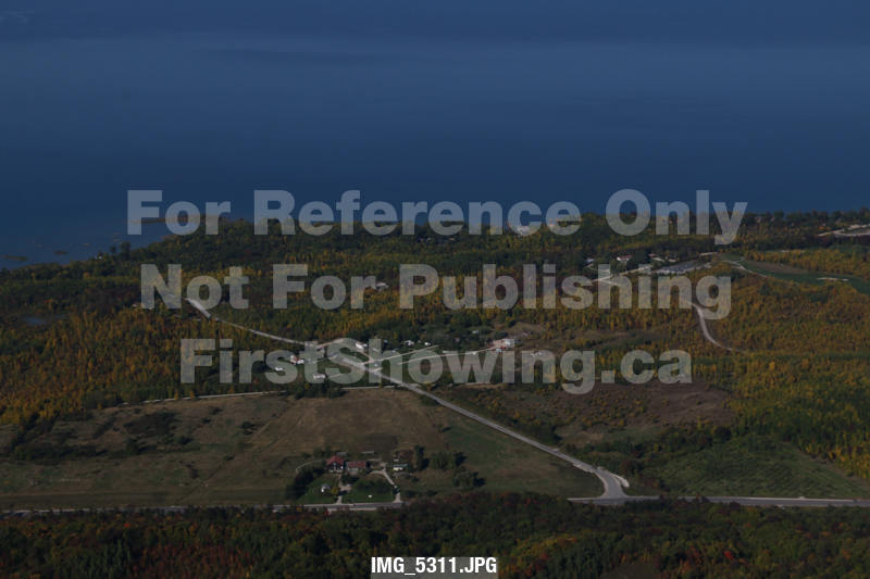
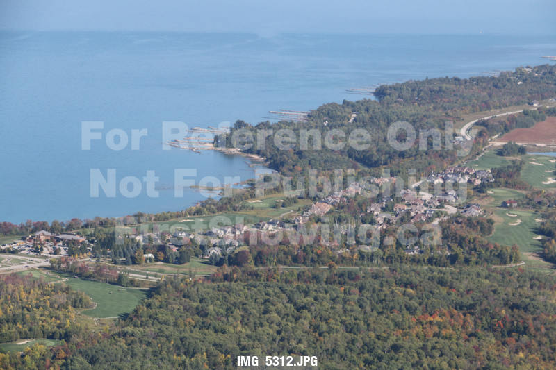
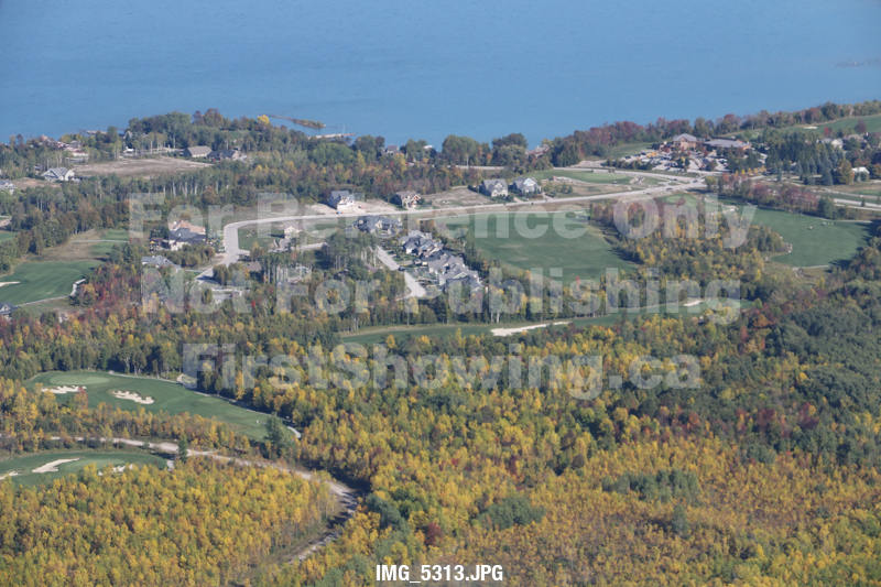
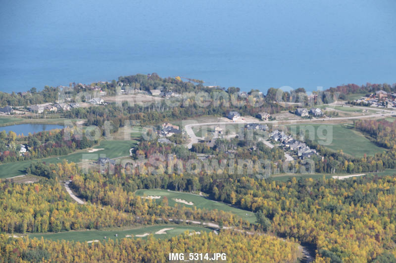
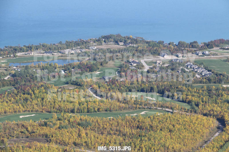
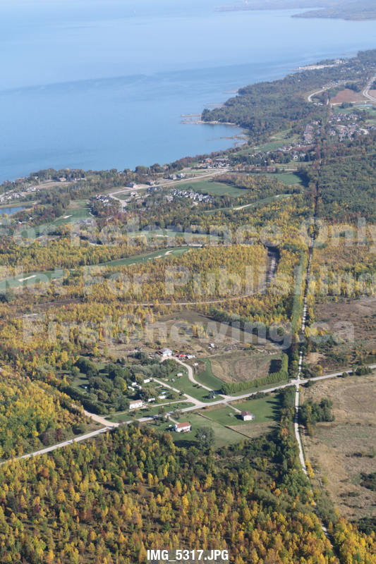
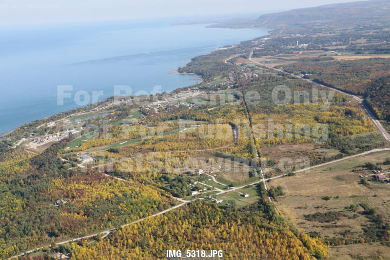
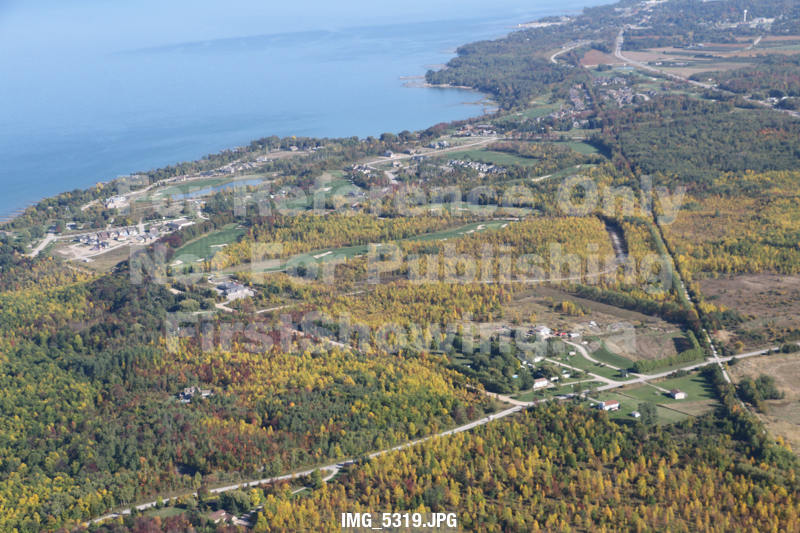
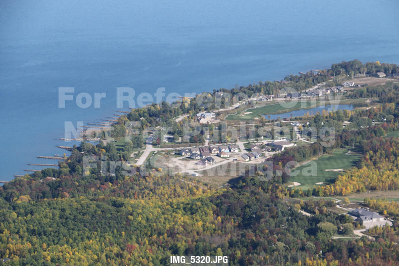
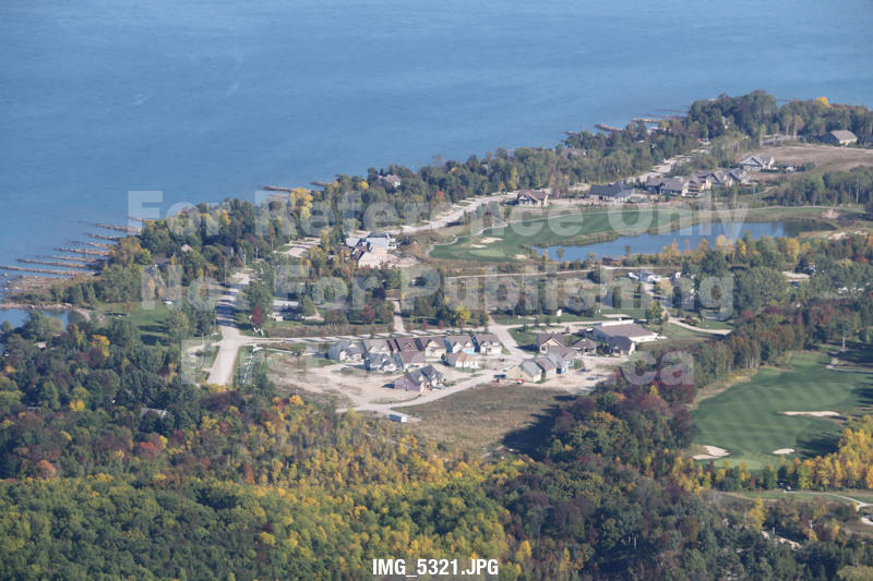
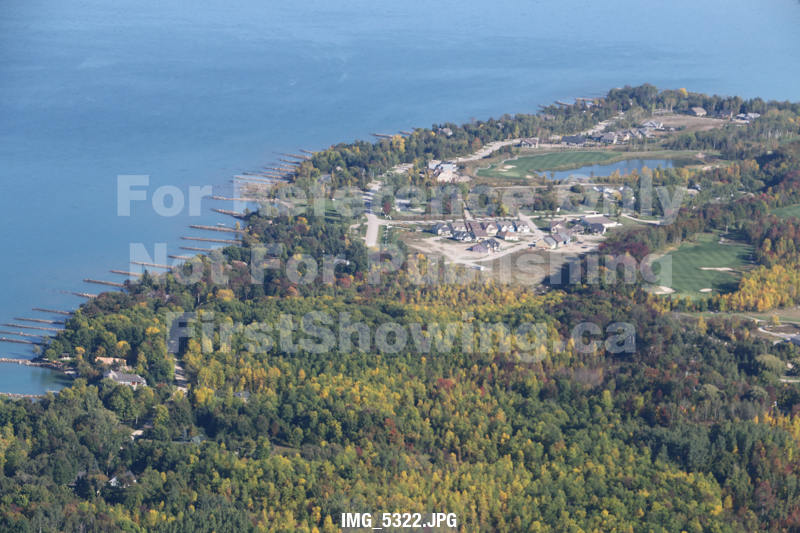
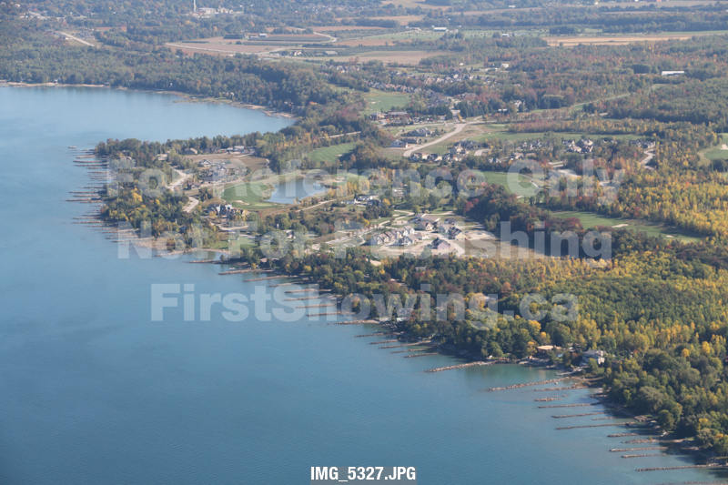
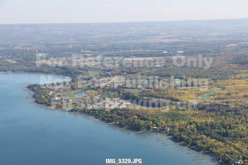
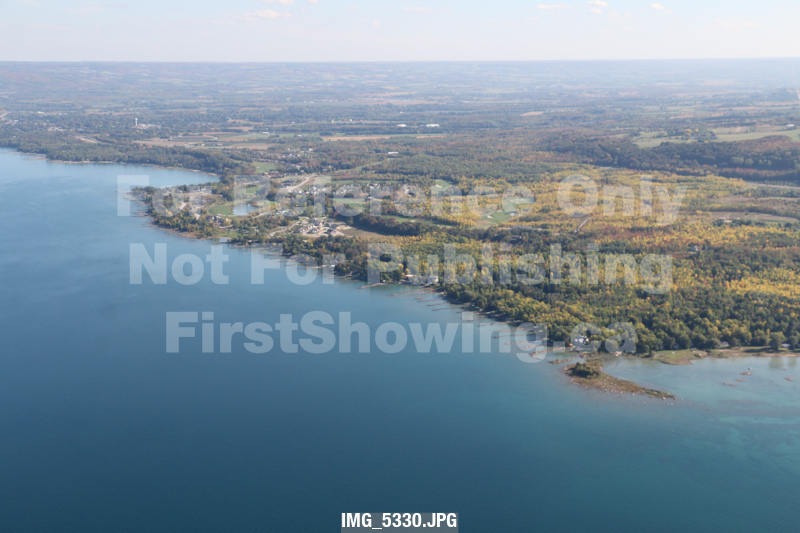
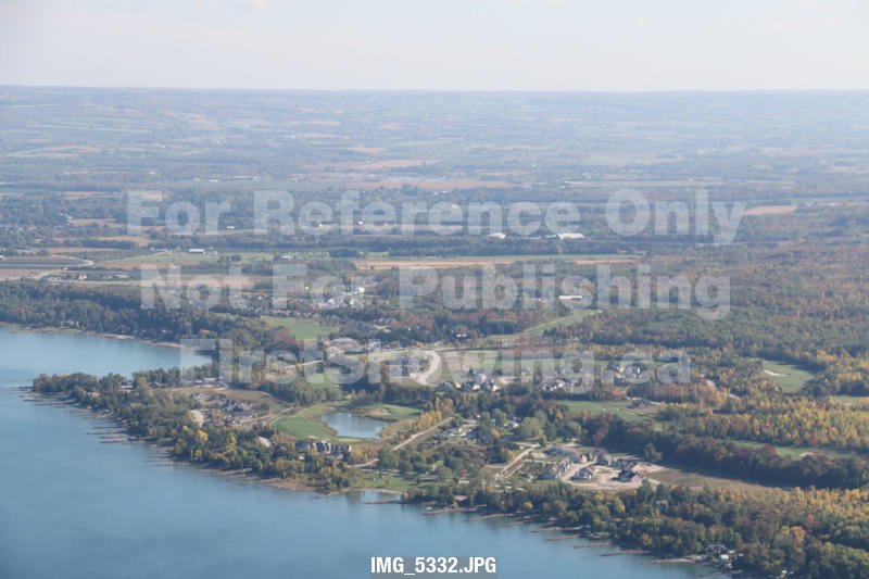
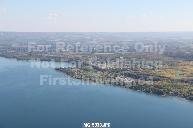
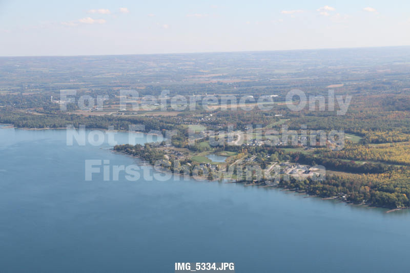
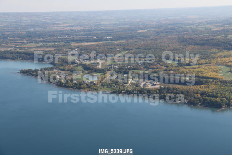
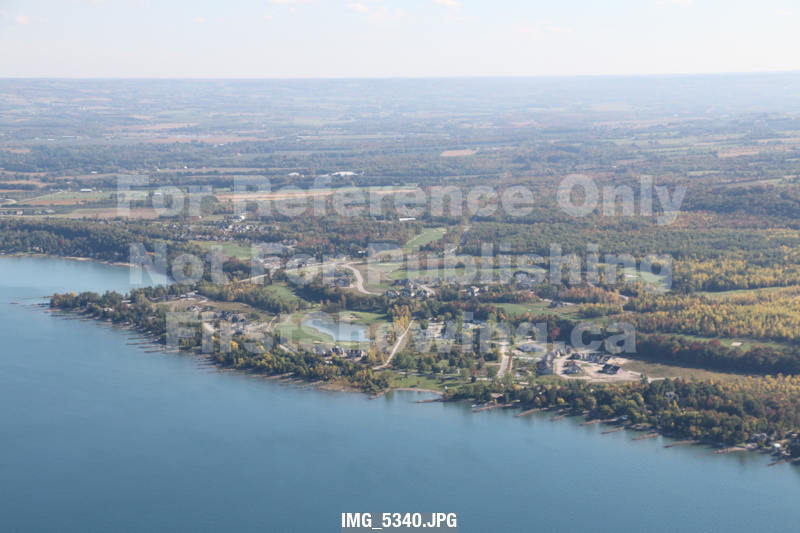
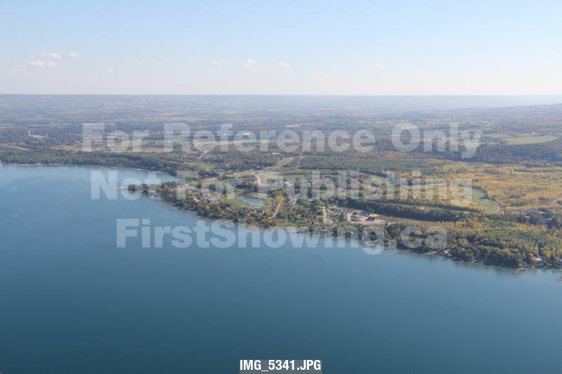
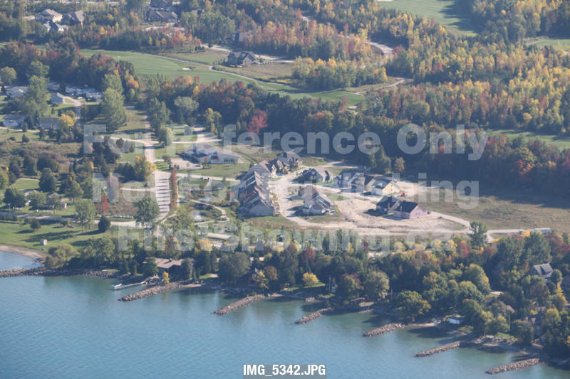
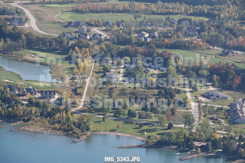
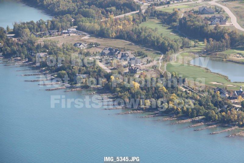
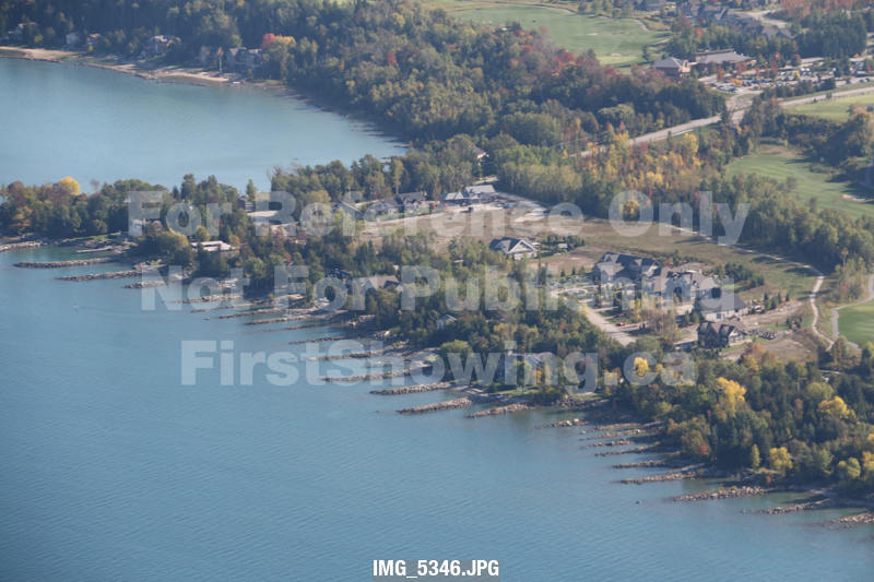
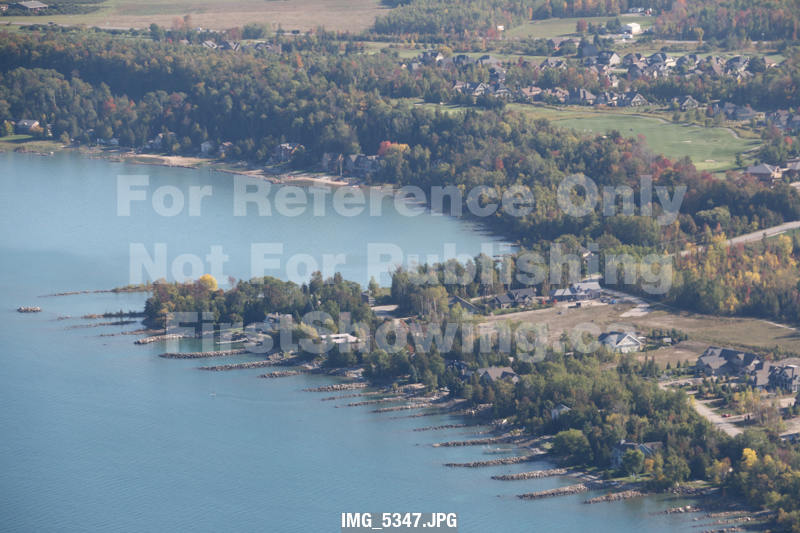
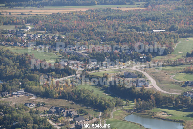
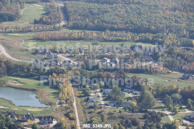
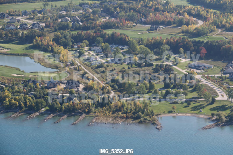
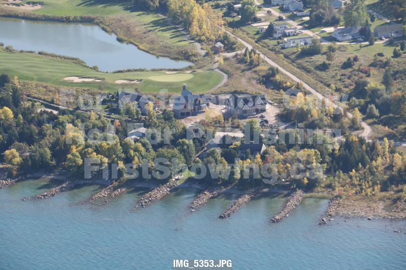
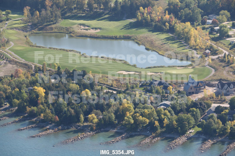
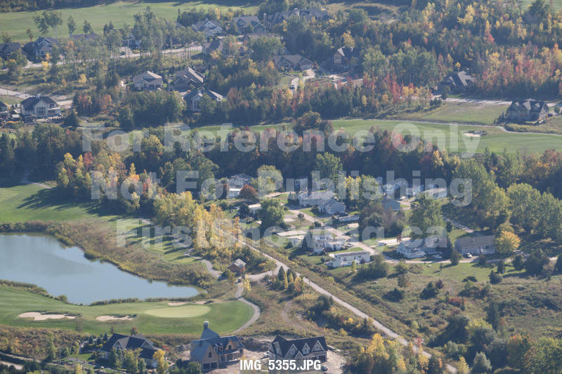
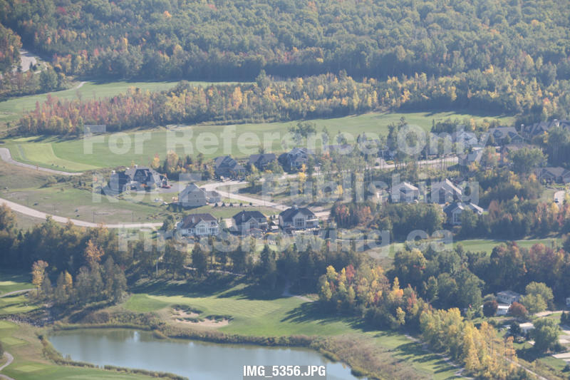
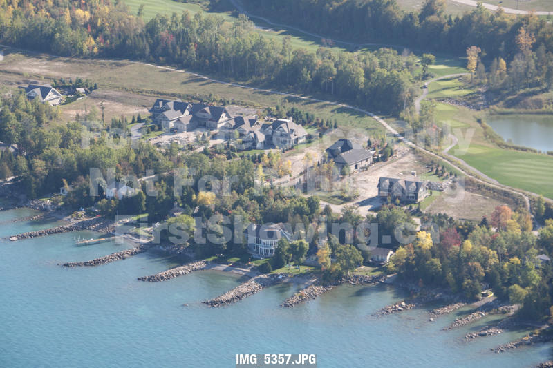
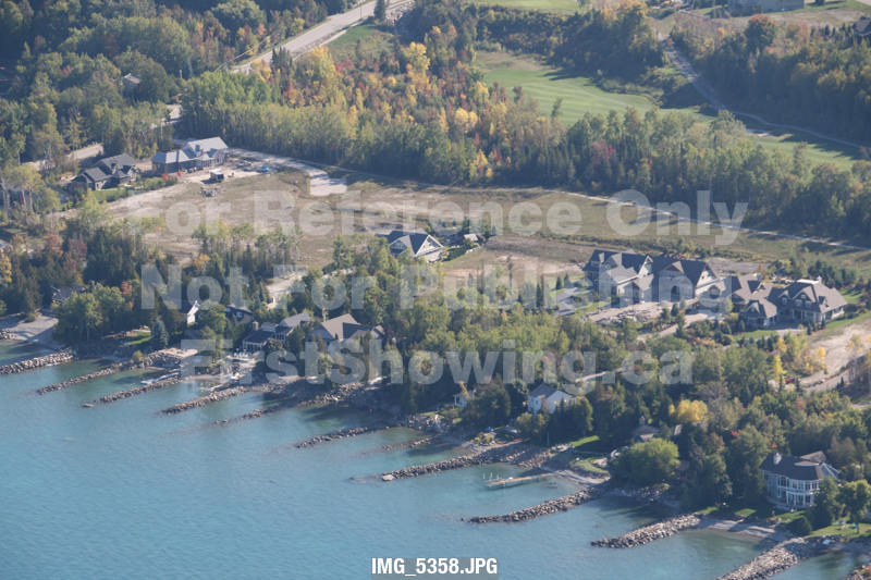
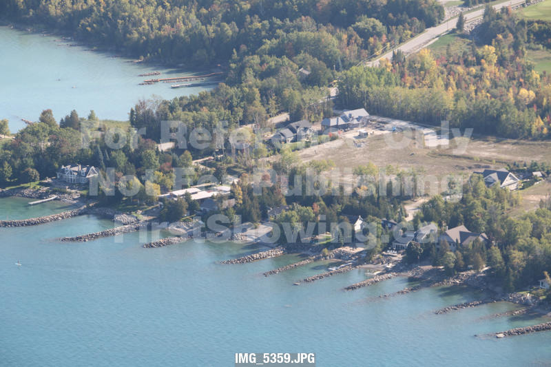
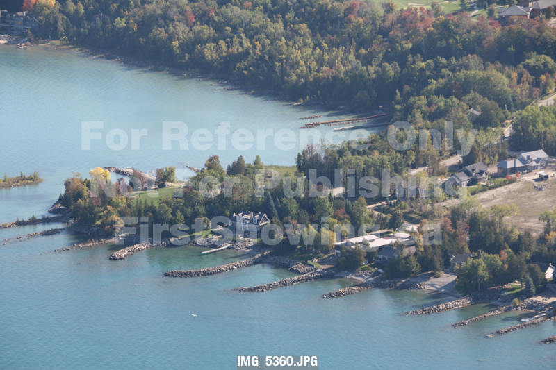
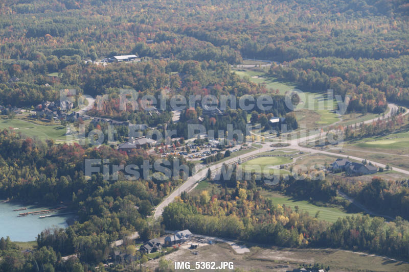
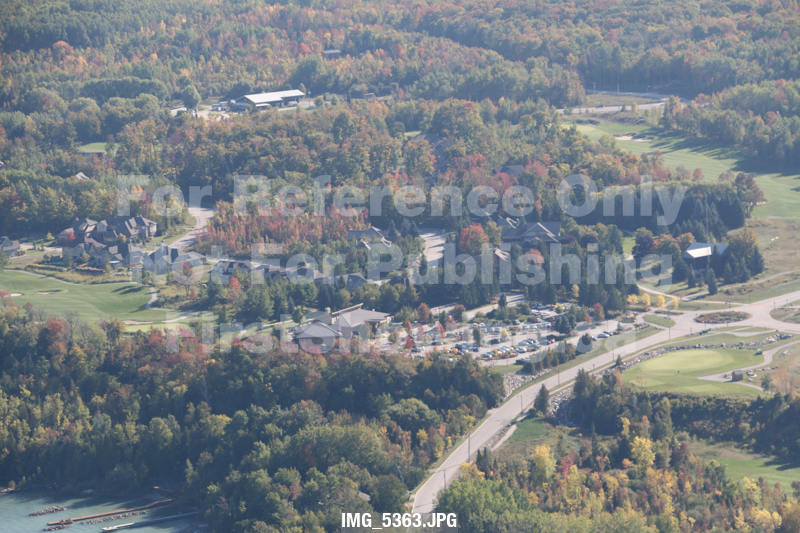
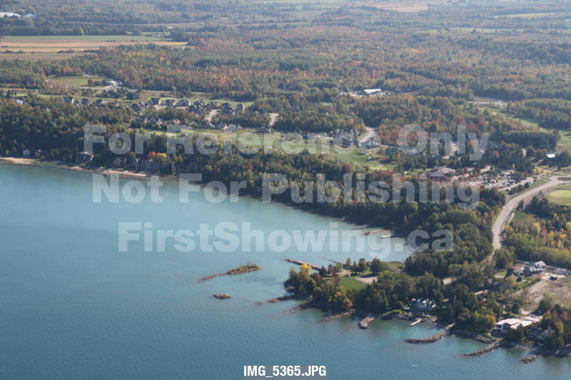
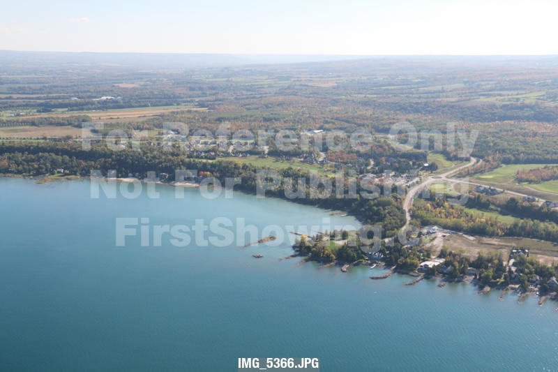
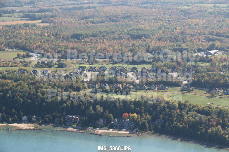
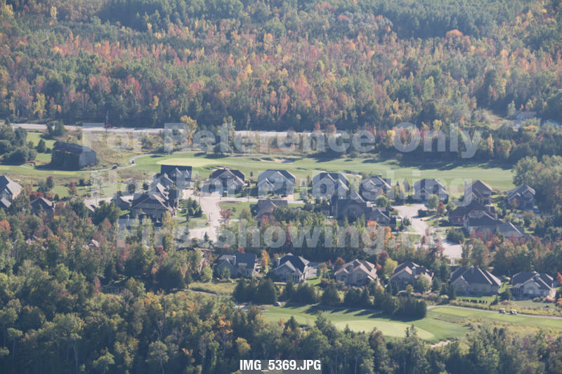
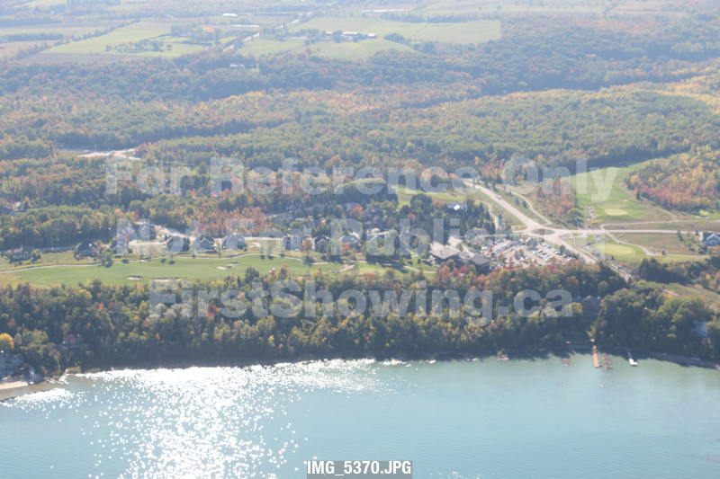
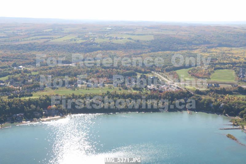
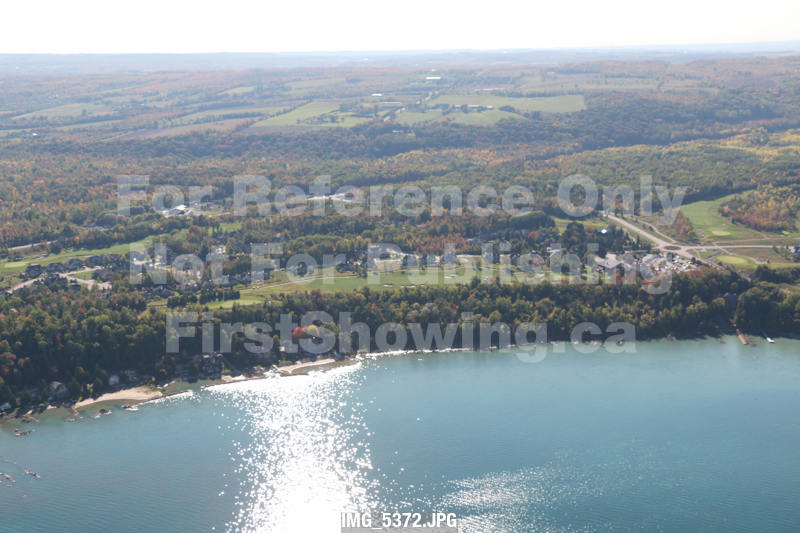
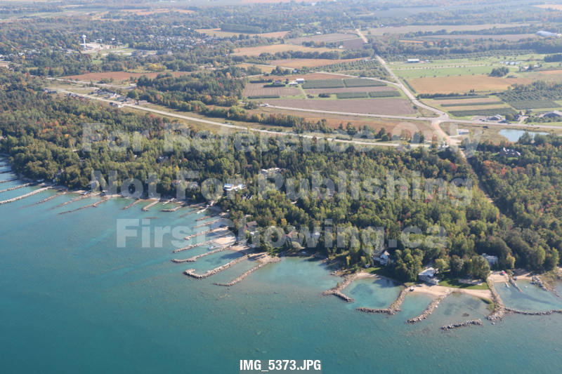
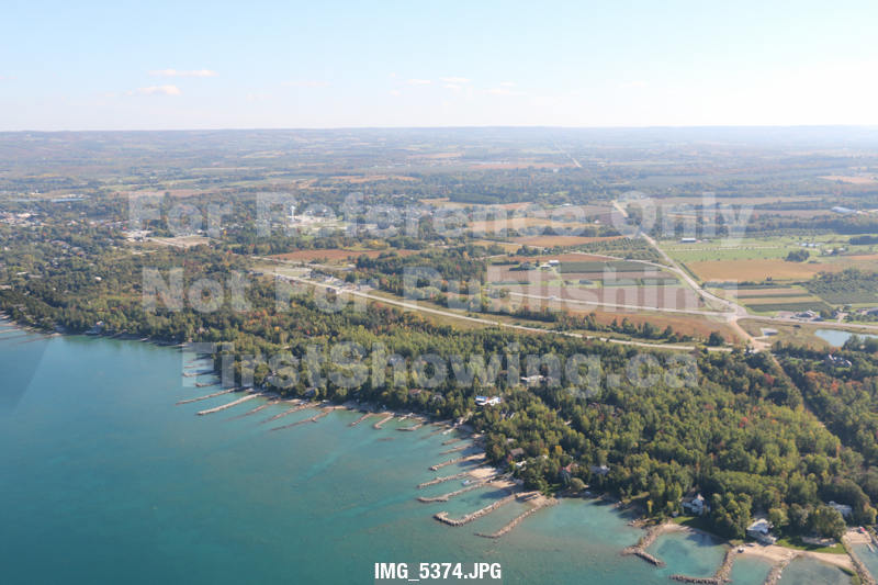
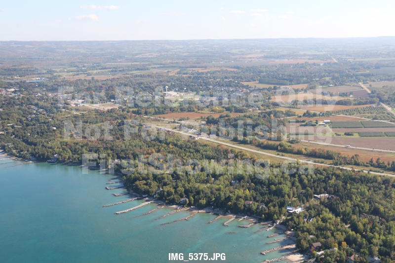
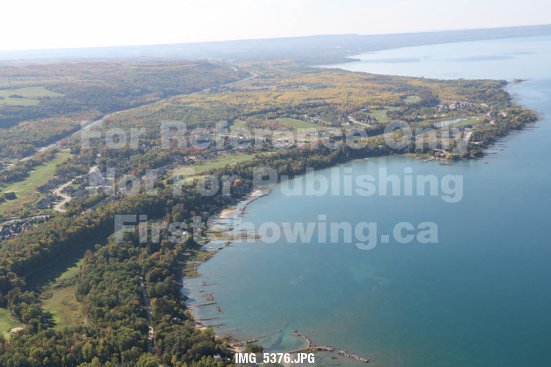
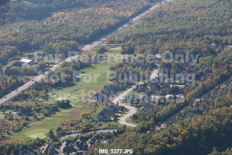
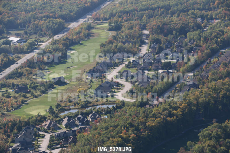
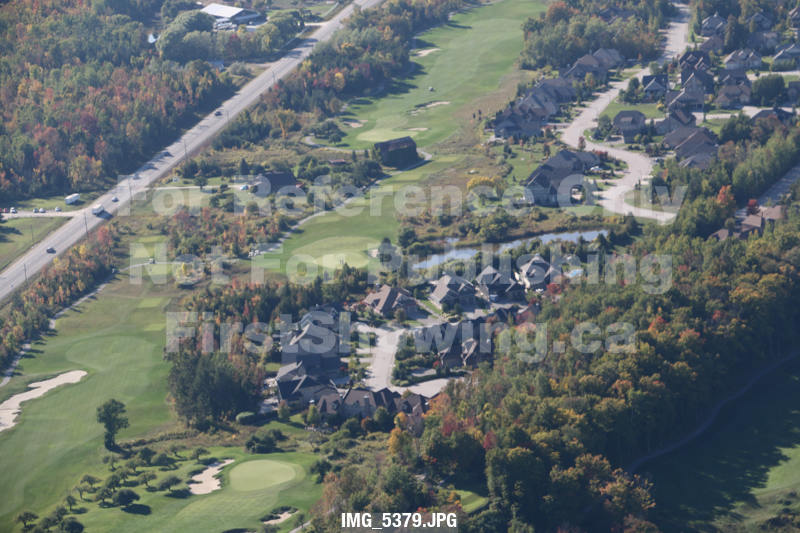
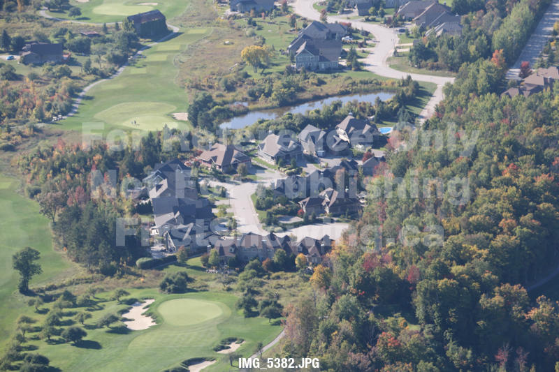
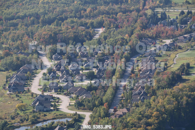
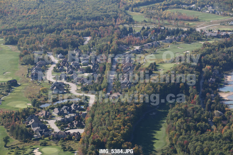
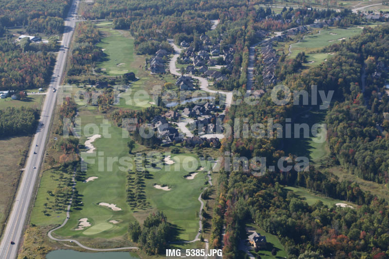
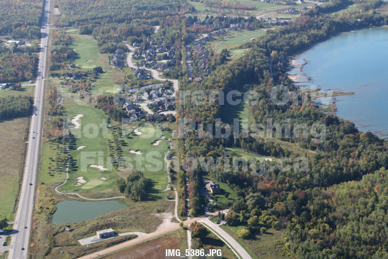
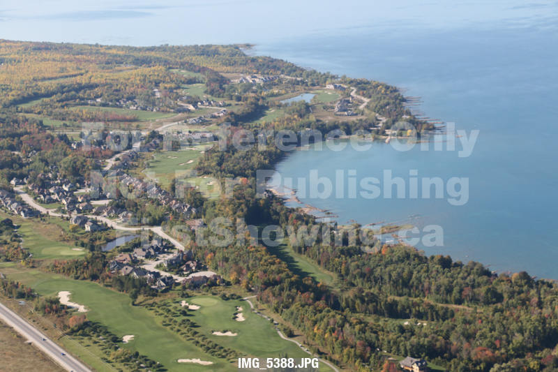
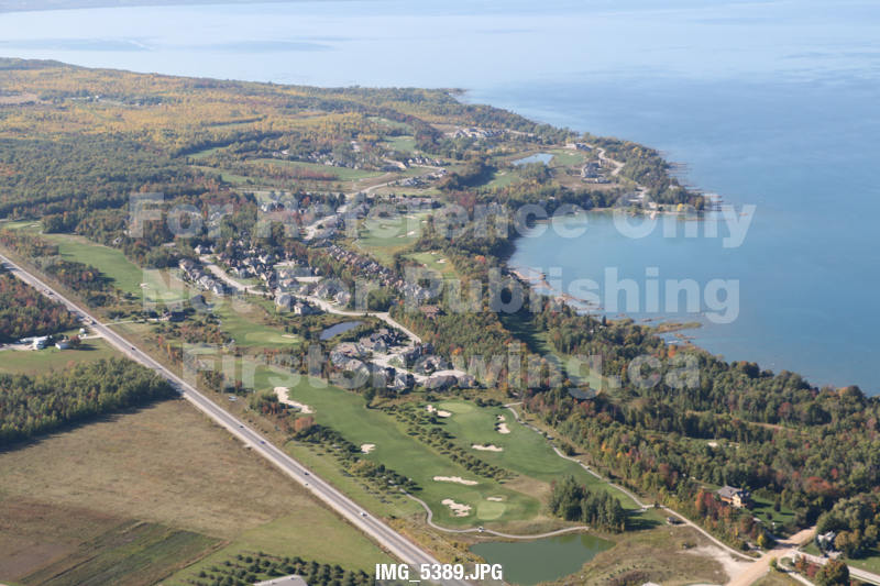
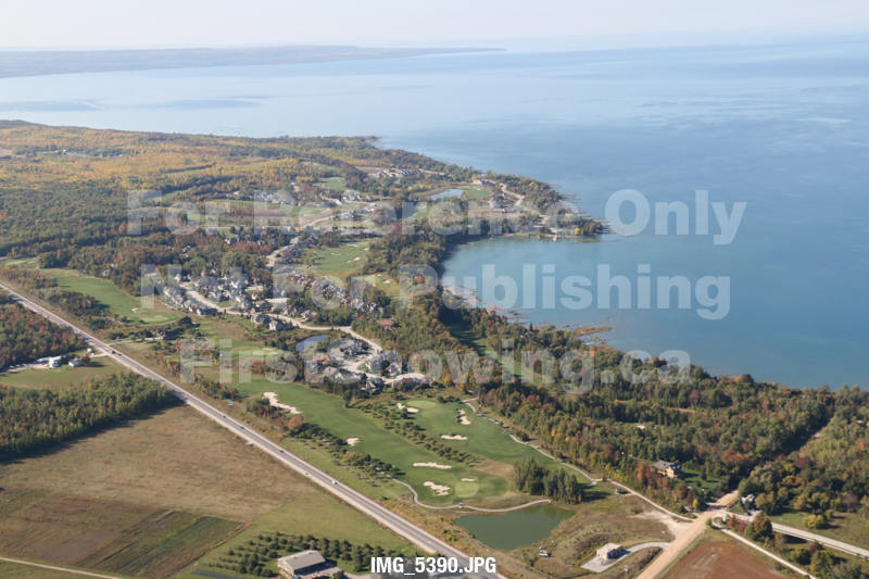
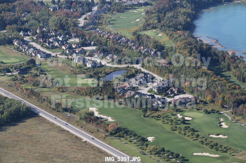
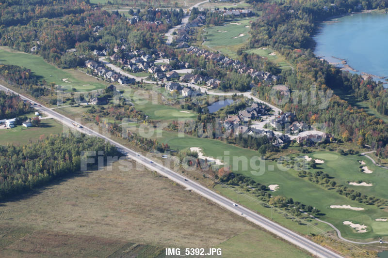
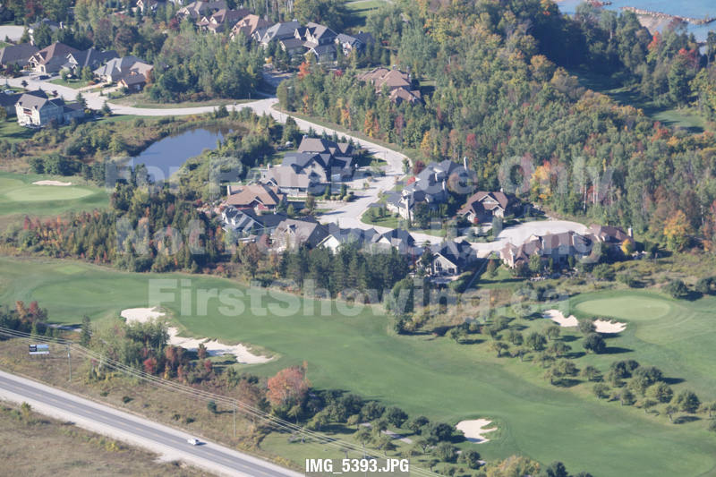
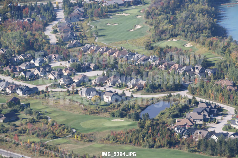
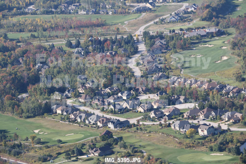
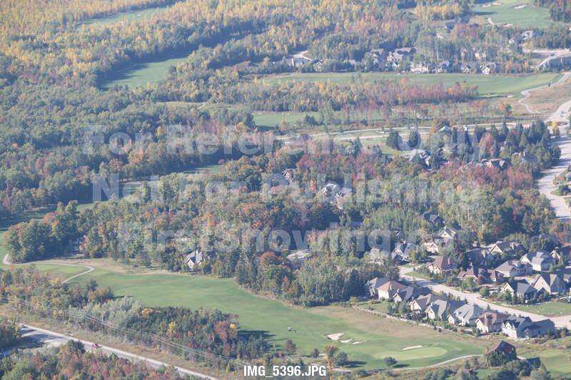
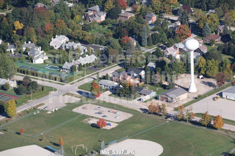
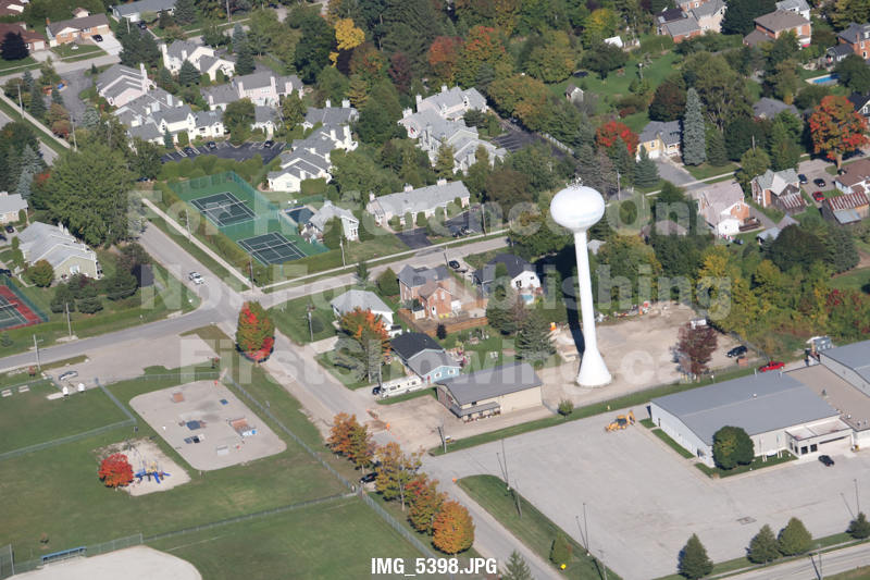
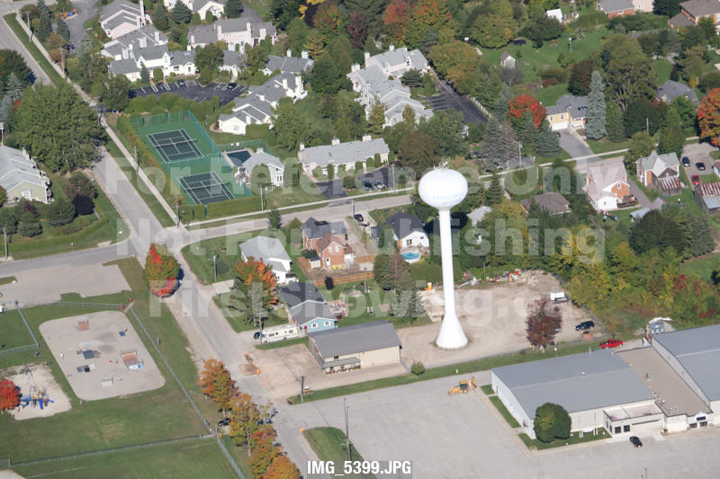
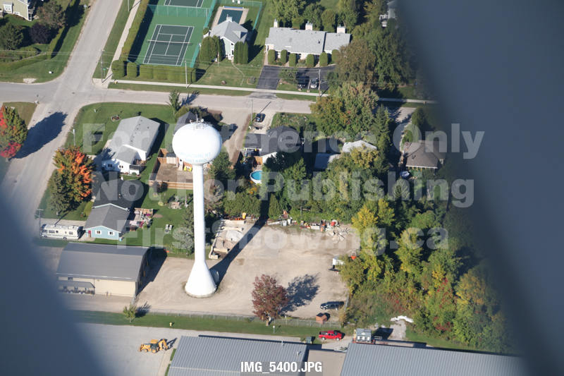
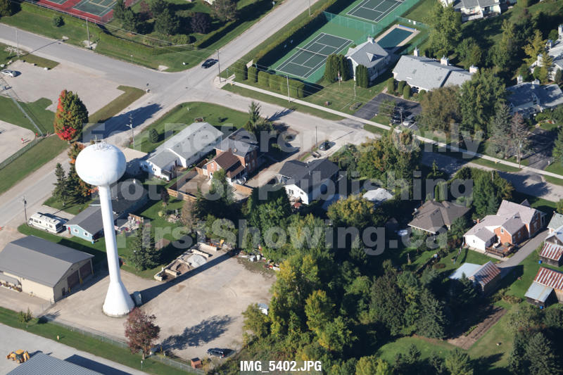
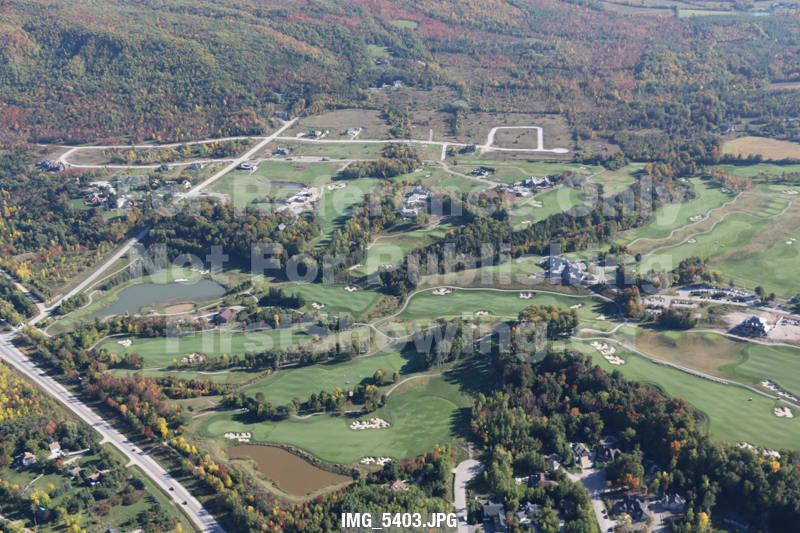
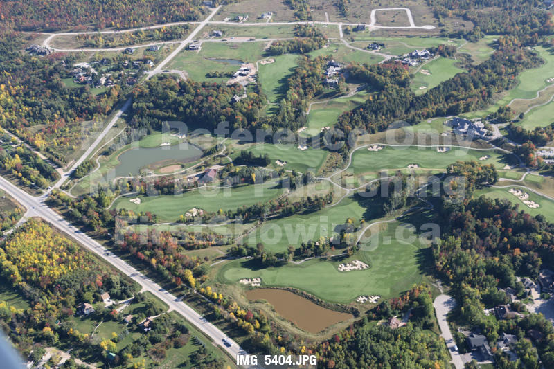
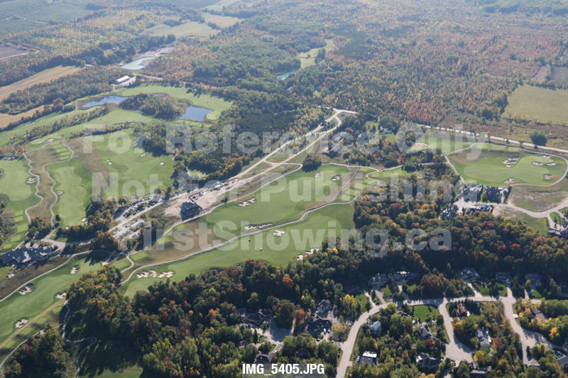
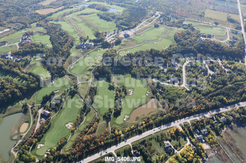
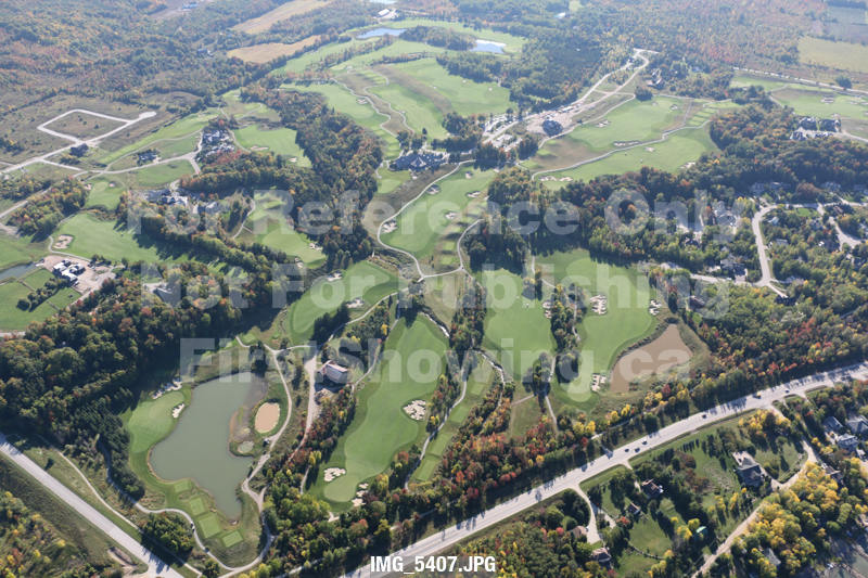
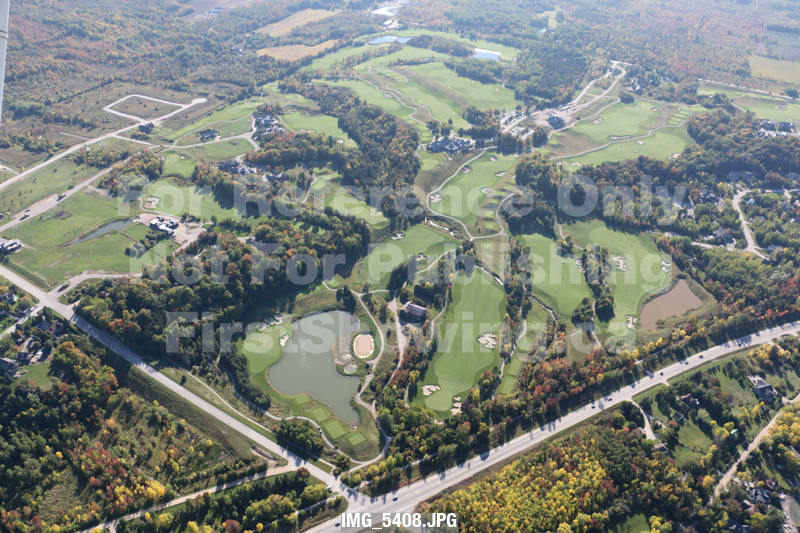
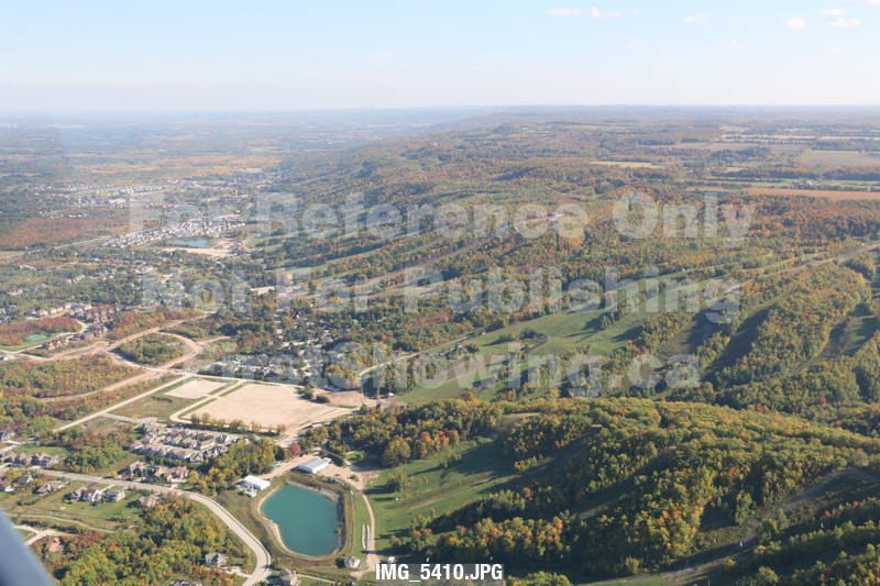
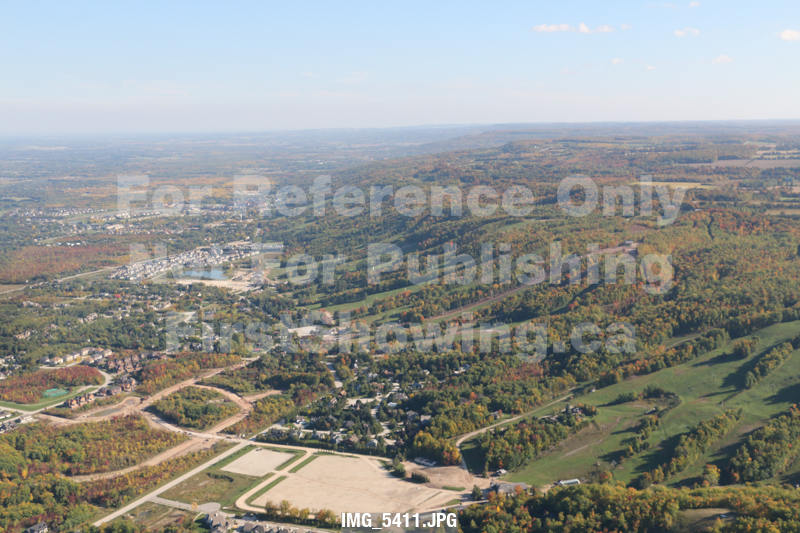
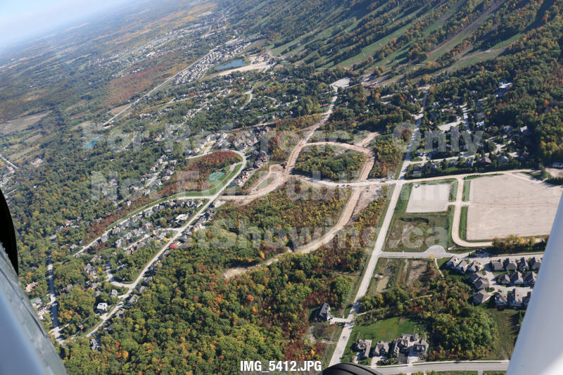
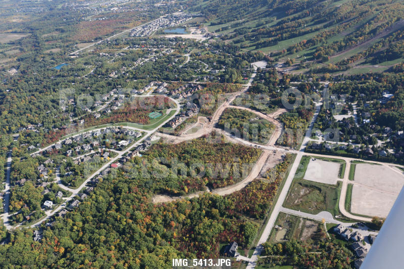
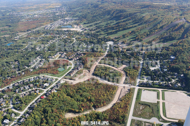
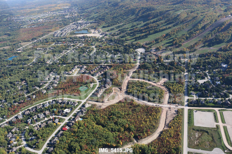
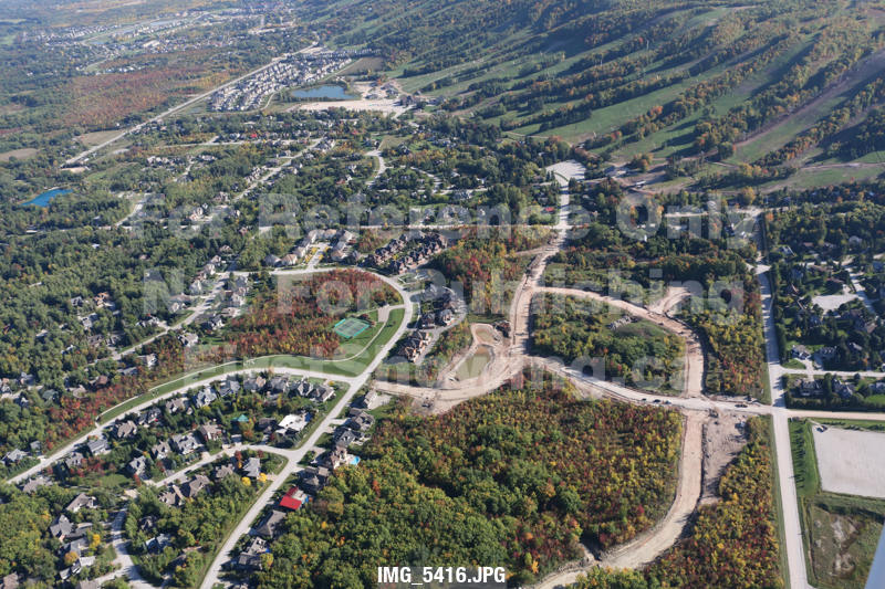
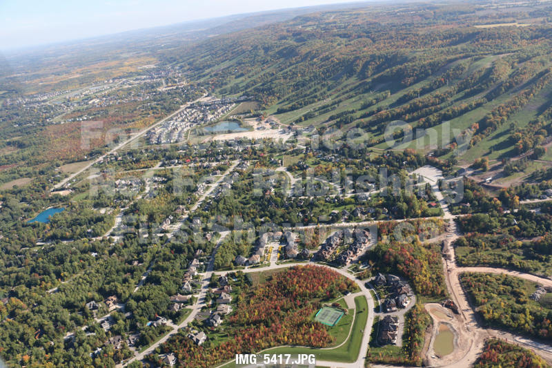
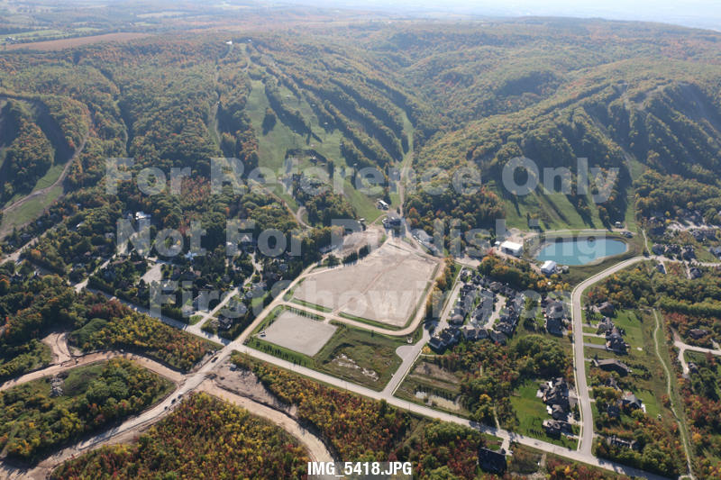
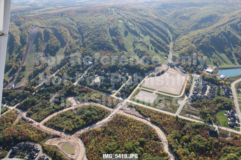
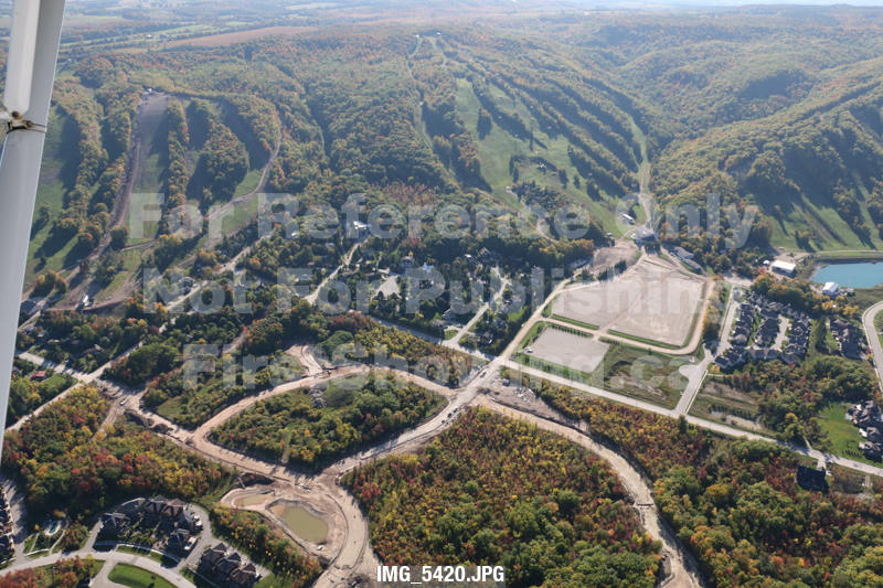
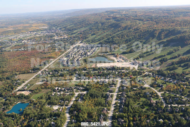
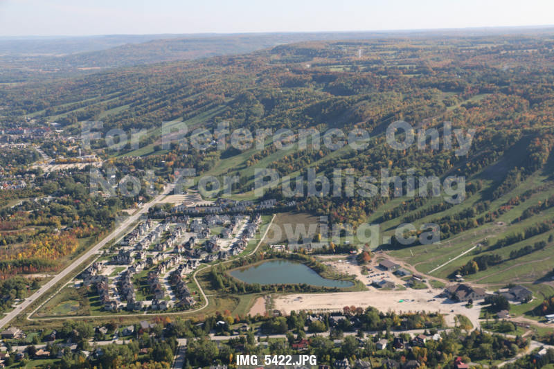
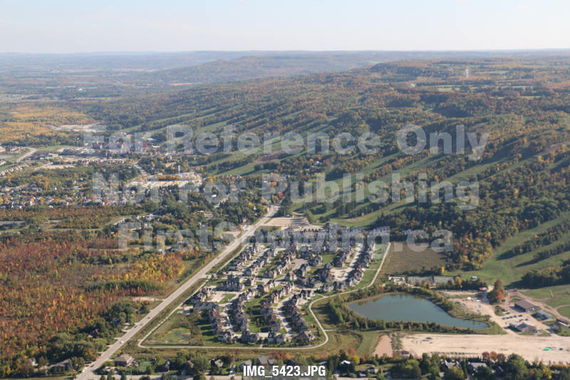
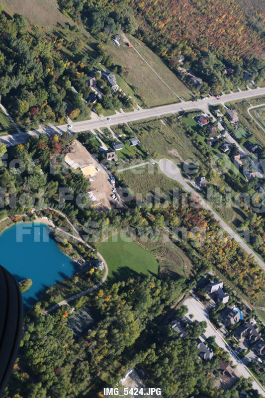
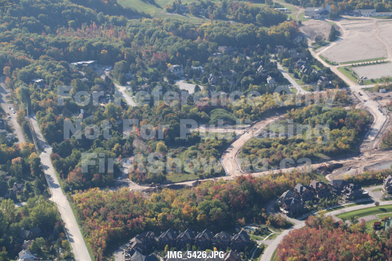
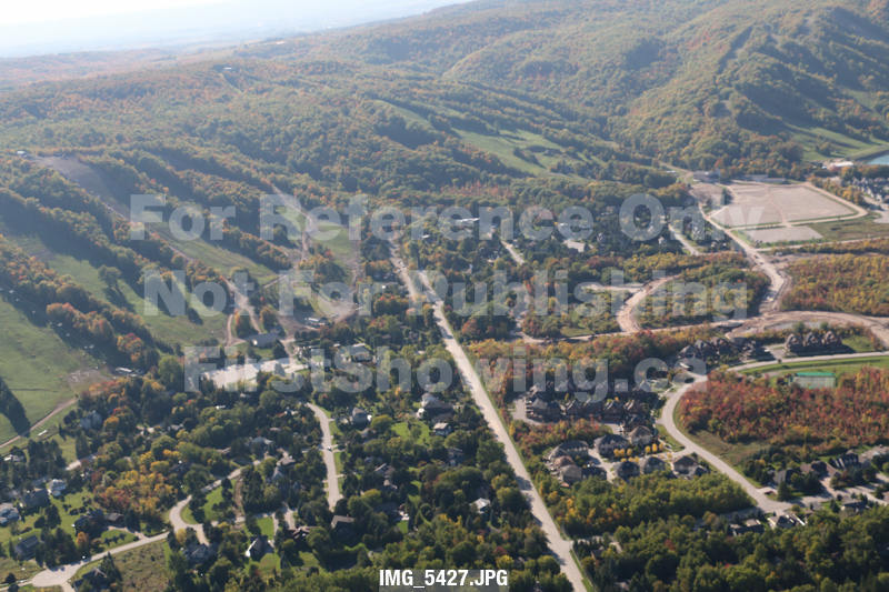
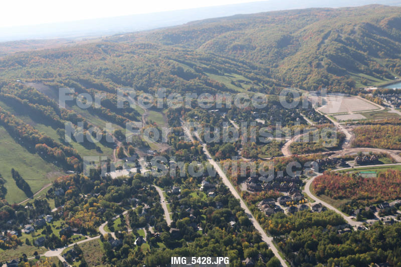
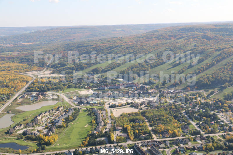
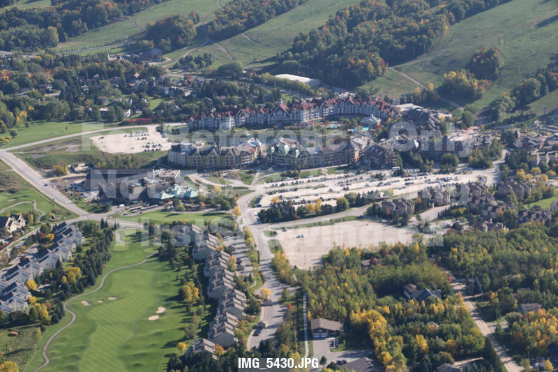
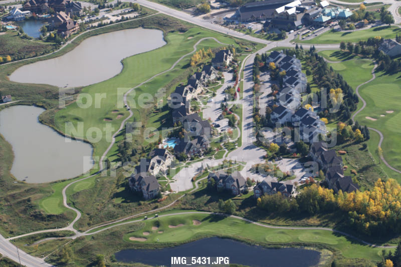
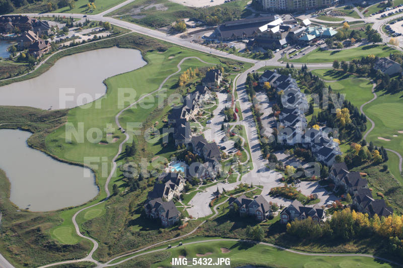
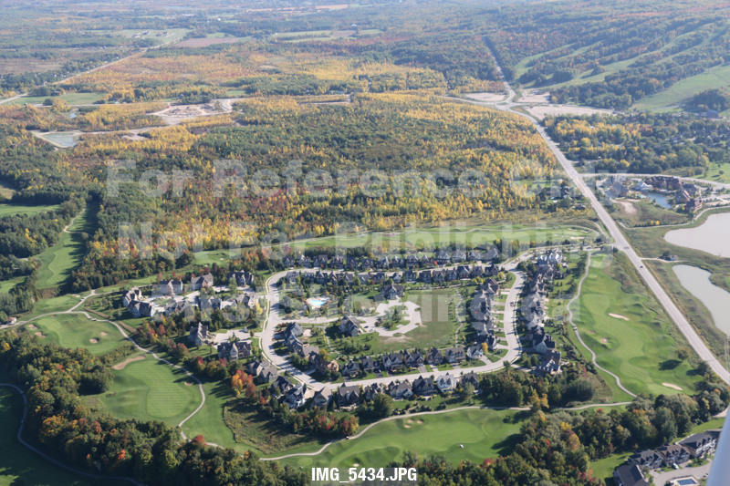
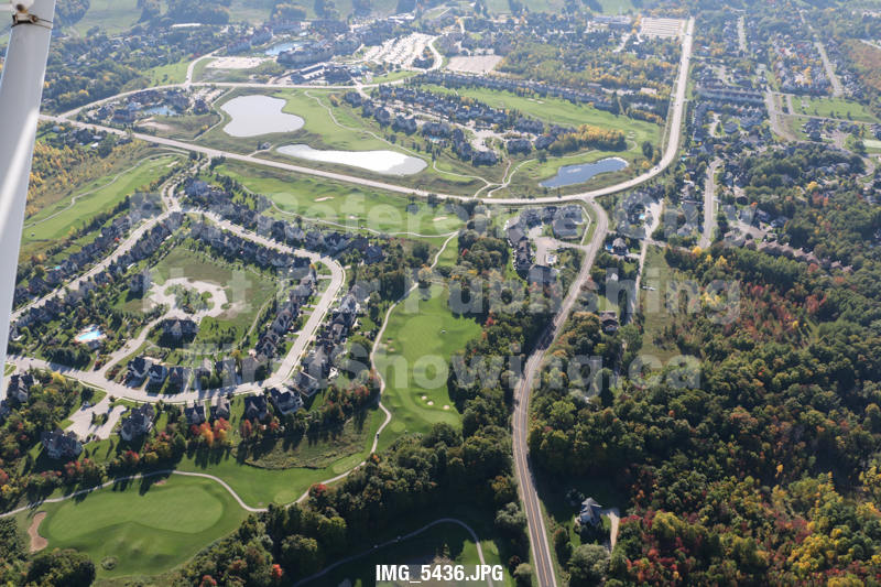
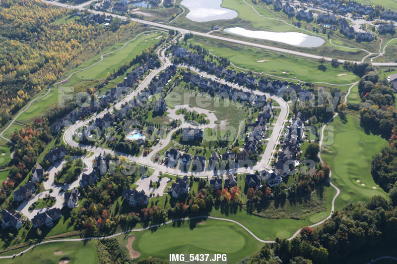
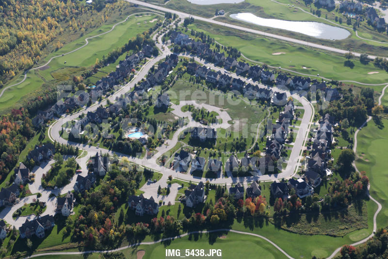
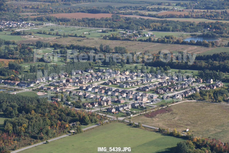
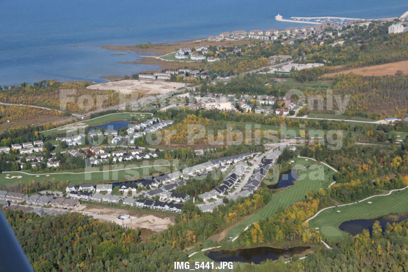
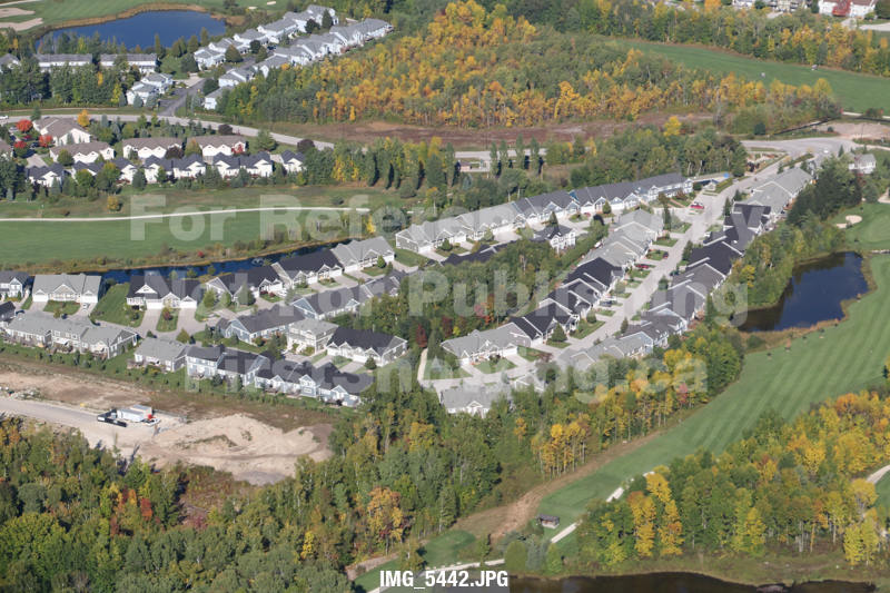
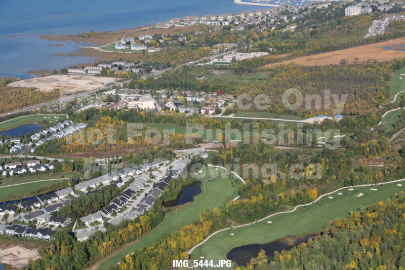
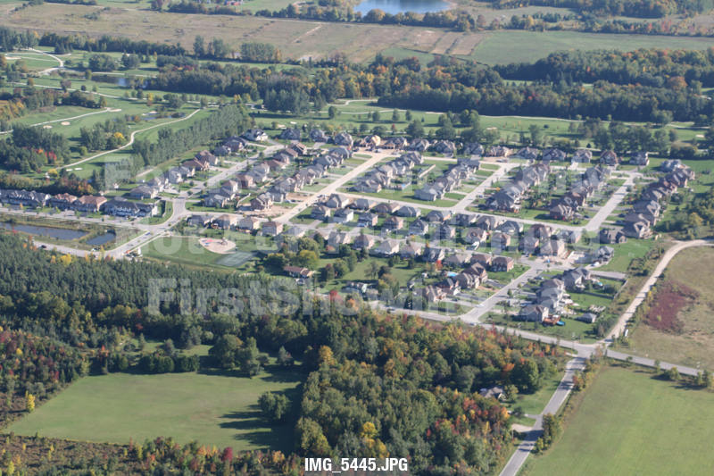
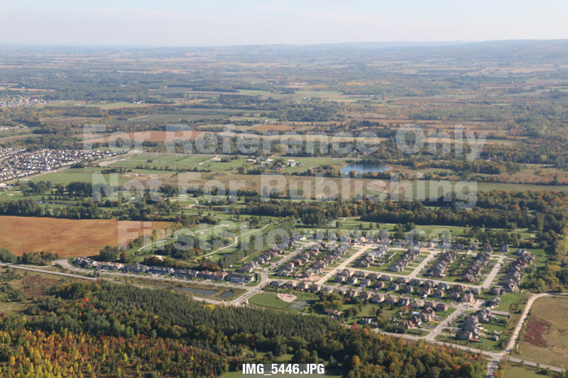
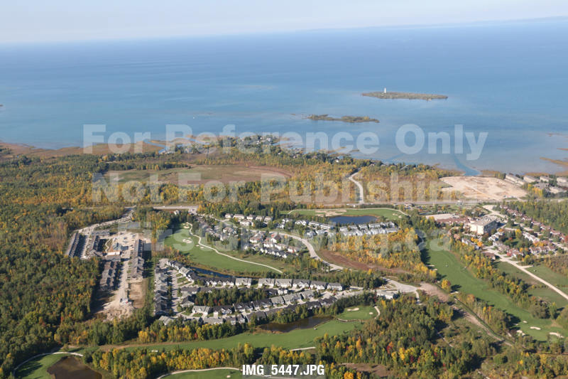
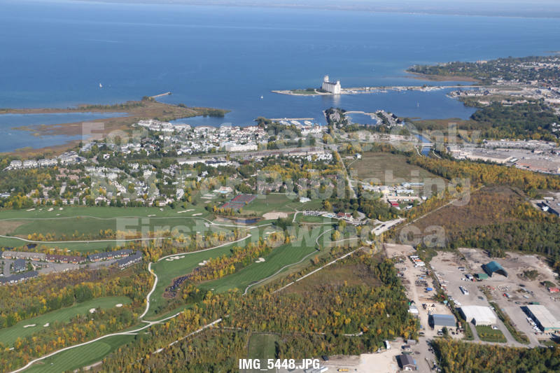
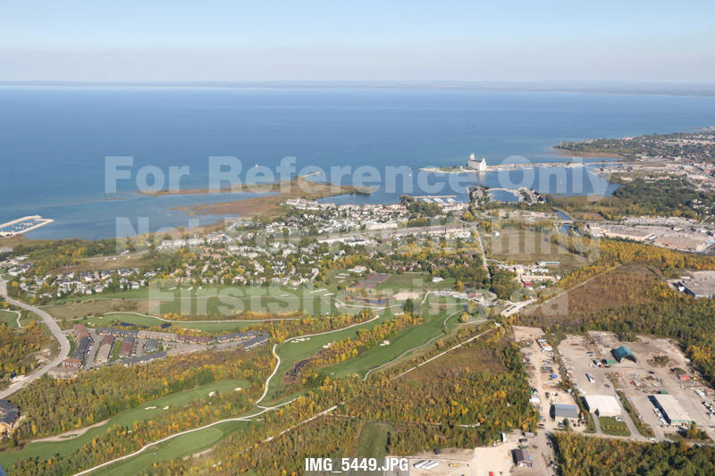
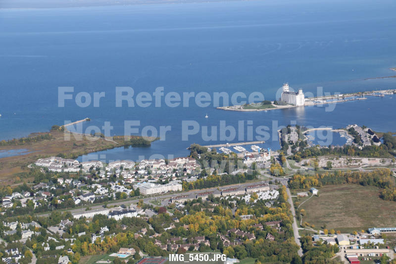
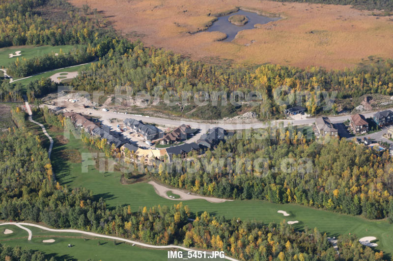
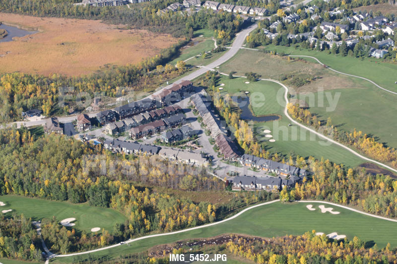
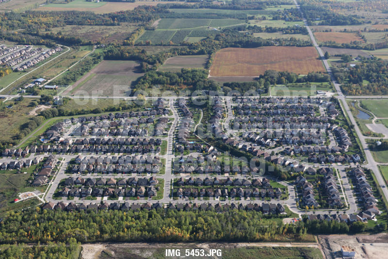
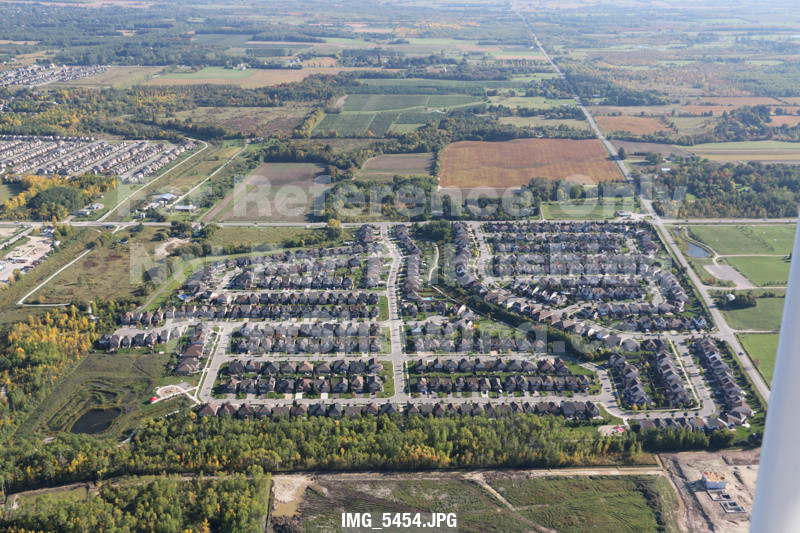
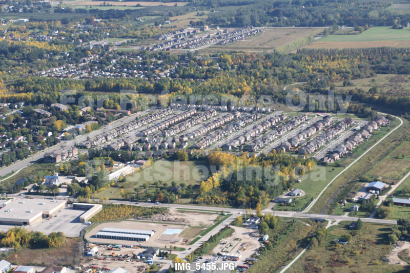
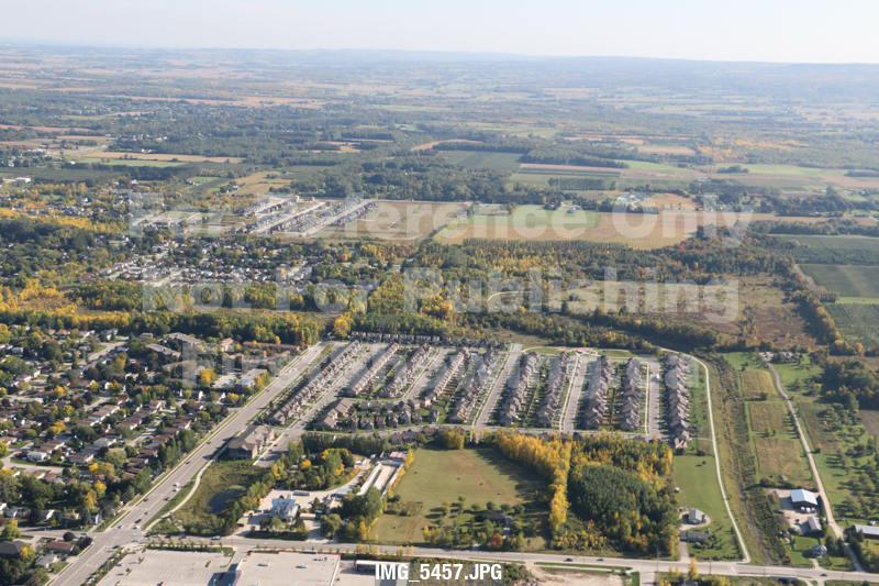
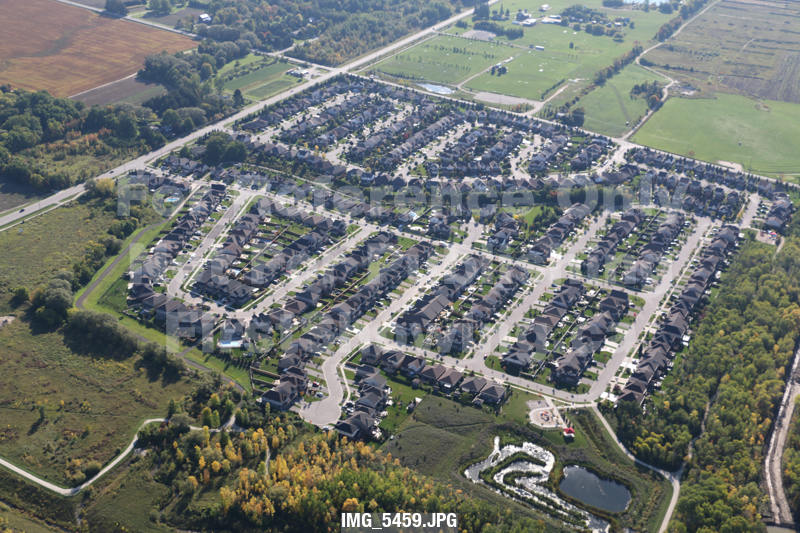
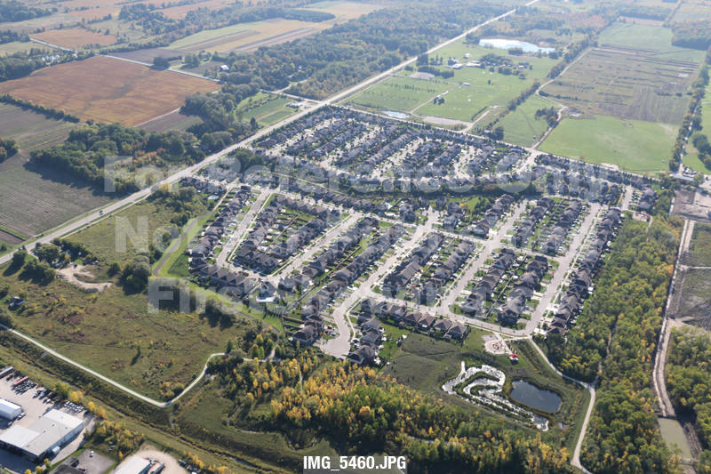
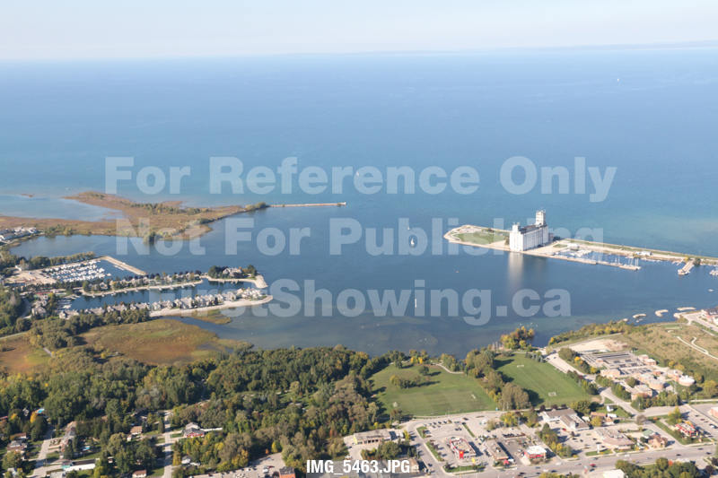
A Directory of Aerial Photos of Collingwood, Wasaga Beach, Blue Mountains, Beaver Valley and Thornbury, And All Areas In Between
This gallery shows all of the Aerial photos that were shot by First Showing in the early fall, 2014. They are available for sale by contacting First Showing. For reference, and so you can locate the general area where your preferred shot likely exists, refer to the flight path taken by viewing the YouTube video below, or to the first still image in the gallery. The red arrows and associated image name are "key frames" along the flight path. There are many more images between each arrow. The text refers to the image name burned into each image thumbnail. Simply take note of the specific image you require, and get in touch.
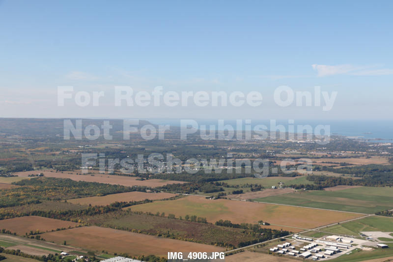
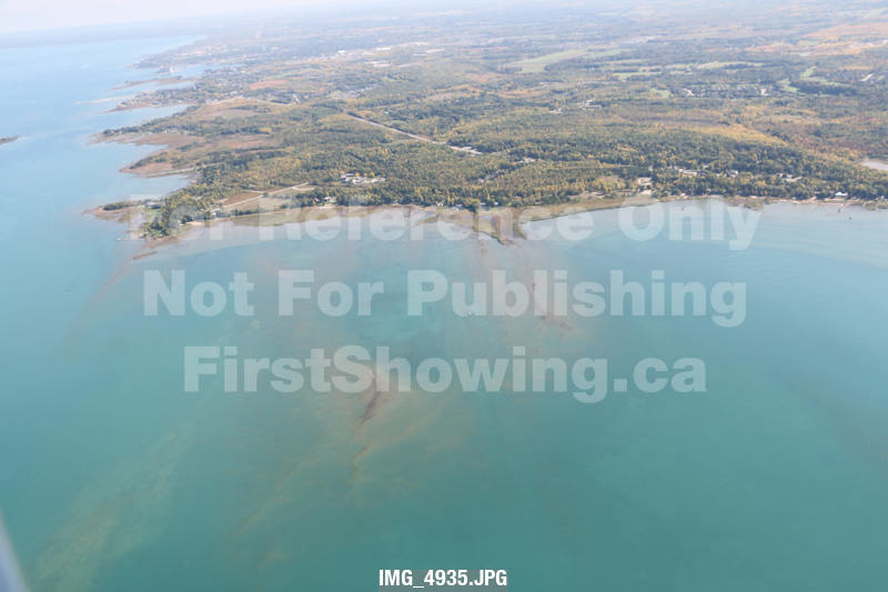
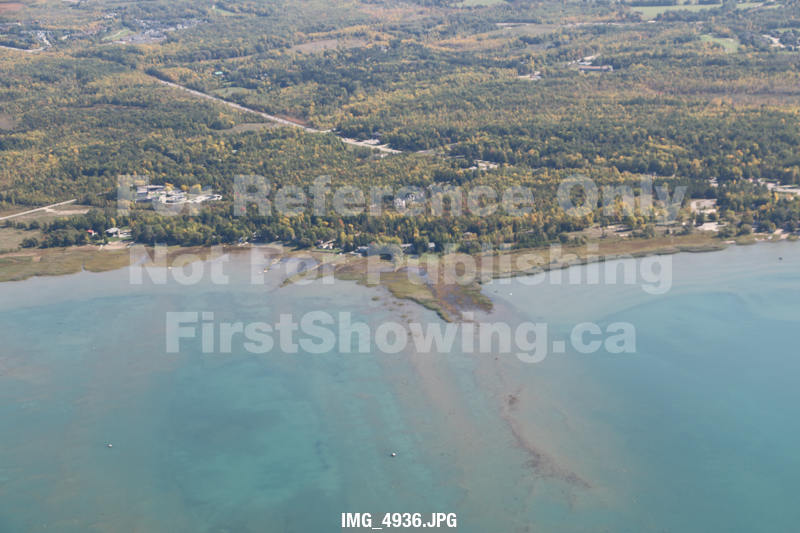
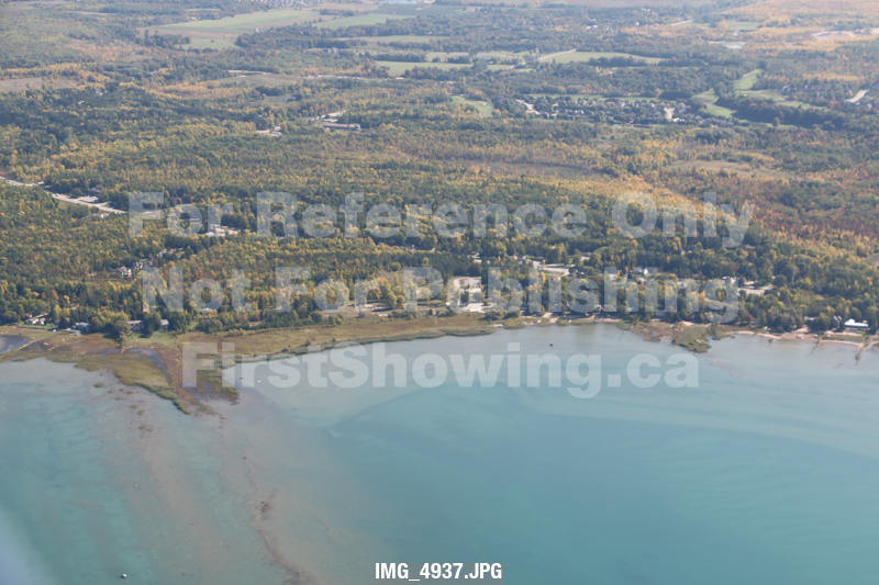
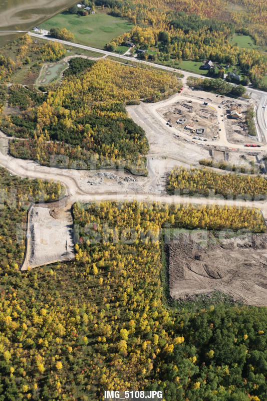
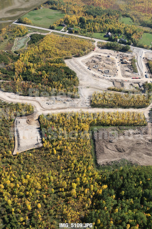
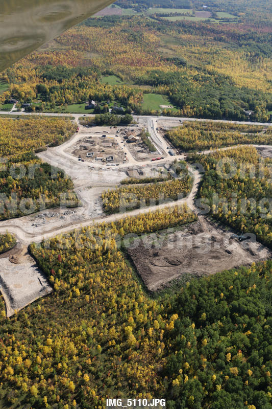
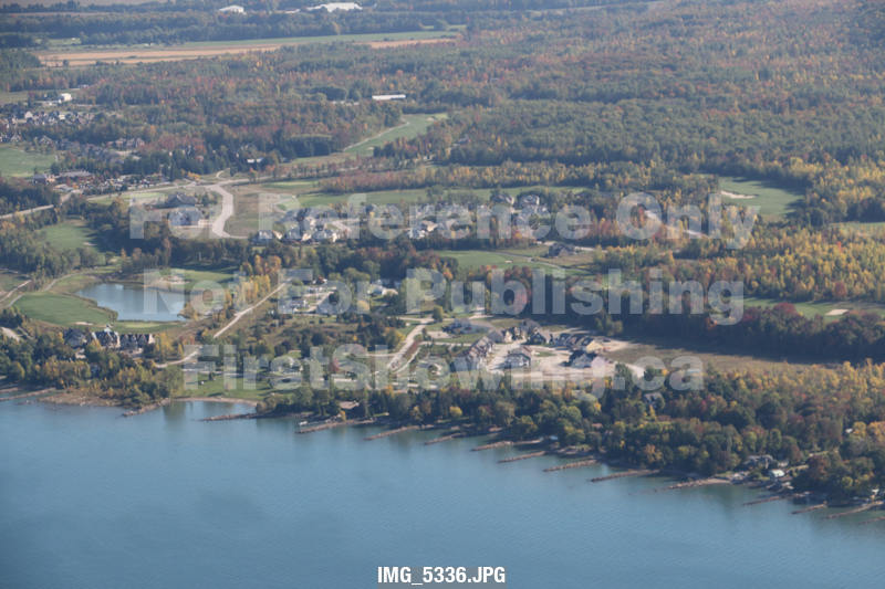
Note that these thumbnails are raw images and have not been colour corrected. They will be processed when we receive your order.
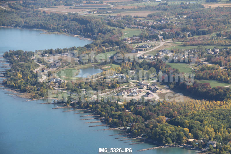
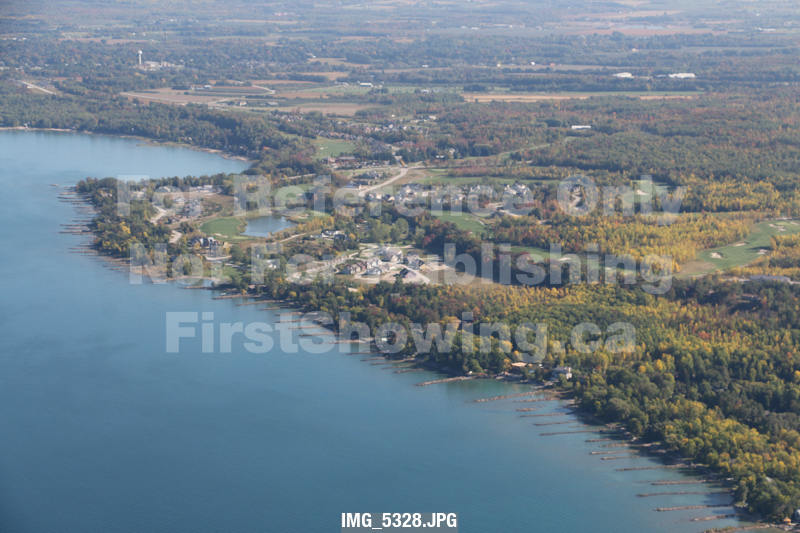
The map animation is best viewed full screen, and at full resolution.
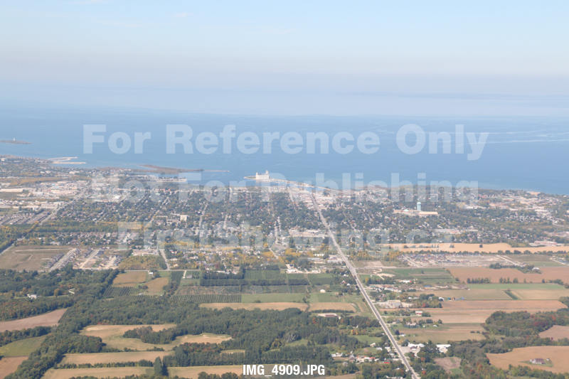
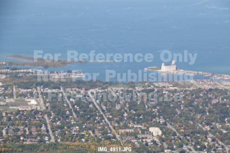
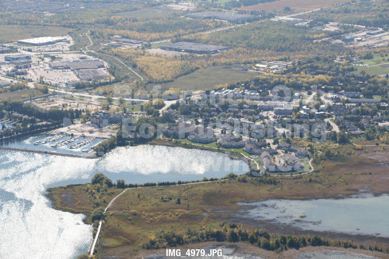
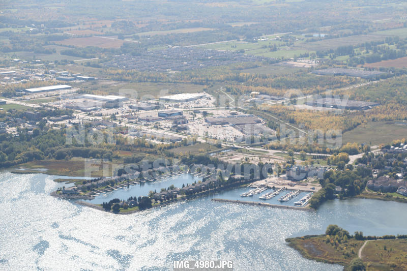
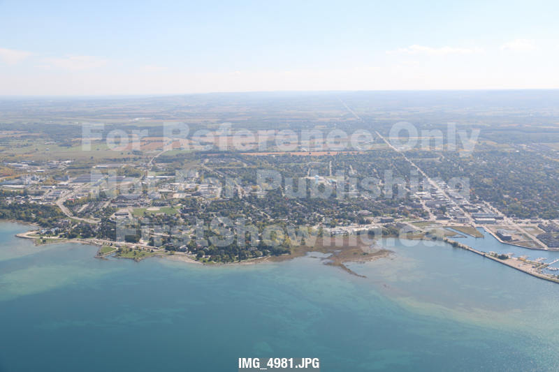
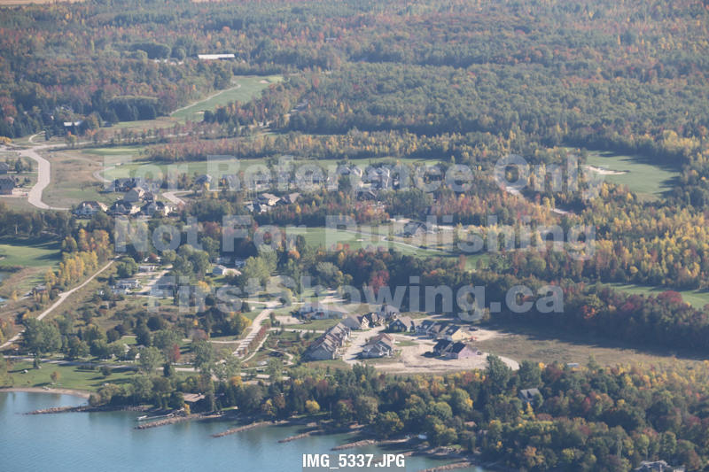
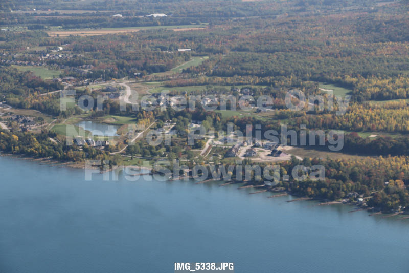
Note that these thumbnails are raw images and have not been colour corrected. They will be processed when we receive your order.
The map animation is best viewed full screen, and at full resolution.